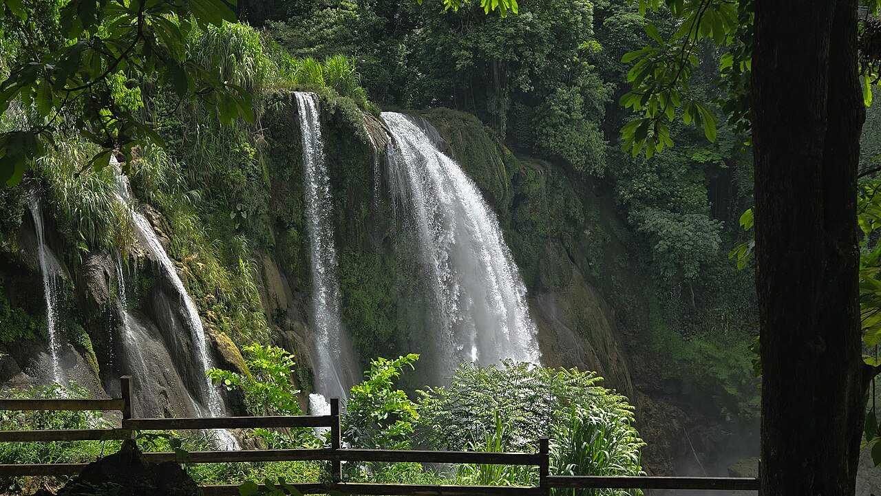
Lakeside birdlife and a waterfall with room to linger.
Lake Yojoa offers a different pace between Honduras’s mountains and north coast. Choose a base with access to the part of the lake you want to explore, rather than treating the whole shoreline as one walkable destination. Local guides can help connect wetlands, birdlife and nearby communities.
The lake changes character with light, vegetation and viewpoint. A locally guided nature outing can make the difference between a scenic stop and an understanding of the wetland. Use designated access and established boat operators; lifejackets and current weather matter even on inland water. Keep a respectful distance from wildlife.
Getting here
Use Los Naranjos as a northern-lake base or arrange transport to your chosen shore access. Confirm the meeting point directly; the lake pin does not imply public access everywhere.
Location: Los Naranjos Lago de Yojoa Honduras. Confirm final access locally.
Pulhapanzak is a separate excursion from the lake, with a powerful waterfall and managed visitor facilities. Start with the designated viewpoints and follow barriers around wet ground. Optional adventure activities need a separate operator assessment; a general admission visit should not be confused with permission to go behind the falls or enter the river.
Getting here
Arrange a daytime transfer toward San Buenaventura and the official waterfall entrance. Confirm current access, activity arrangements and return pickup.
Location: Cataratas Pulhapanzak Honduras. Confirm final access locally.
Stay long enough for a lake outing and a separate waterfall visit. Plan road transfers in daylight and leave weather flexibility. A room overlooking the lake and a base near guided nature activities may be in different locations.
Before you book
Check current opening days and choose a walking route that suits your party. Reserve accommodation and any required transfers before filling the day with optional stops.
The waterfall is impressive from established viewing areas. Rain can alter the river quickly; barriers and local staff instructions take precedence over a photograph or a map route.
Local life, one meal at a time
Eat & drink.
Freshwater fish is commonly offered around the lake. Ask about sourcing, preparation and accompaniments, and keep drinking water with you. Coffee and a relaxed breakfast suit an early nature outing.
Give the meal its own time in the day. Ask what is seasonal and discuss ingredients directly with the kitchen for allergies or dietary requirements. A comfortable pause leaves more attention for the next part of the visit.
A place to put down your bags
Where to stay.
Public business contacts are provided for your convenience. Ask the property about current availability, rates, access and arrangements for your party. Inclusion does not establish ATA membership.
Direct accommodation contact
D&D Brewery Lodge
A Los Naranjos base for the lake area. The published number is for phone or WhatsApp calls.
The lake lies near a major north, south road corridor, but final access to lodges varies. Arrange the last transfer and confirm the correct property entrance rather than relying on a highway drop-off.
Go to the source
Useful information.
Use the operator for its current services, the venue for access arrangements and official advice for travel conditions. Confirm details for your dates before paying.
Reviewed 13 November 2026. Pacing and base suggestions are ATA editorial choices. Accommodation links are direct enquiry points, not inspected-property endorsements or claims of ATA membership. Confirm current services, access and terms. Photographs are credited beside the images and may show earlier conditions.


 Enlarge photo ↗