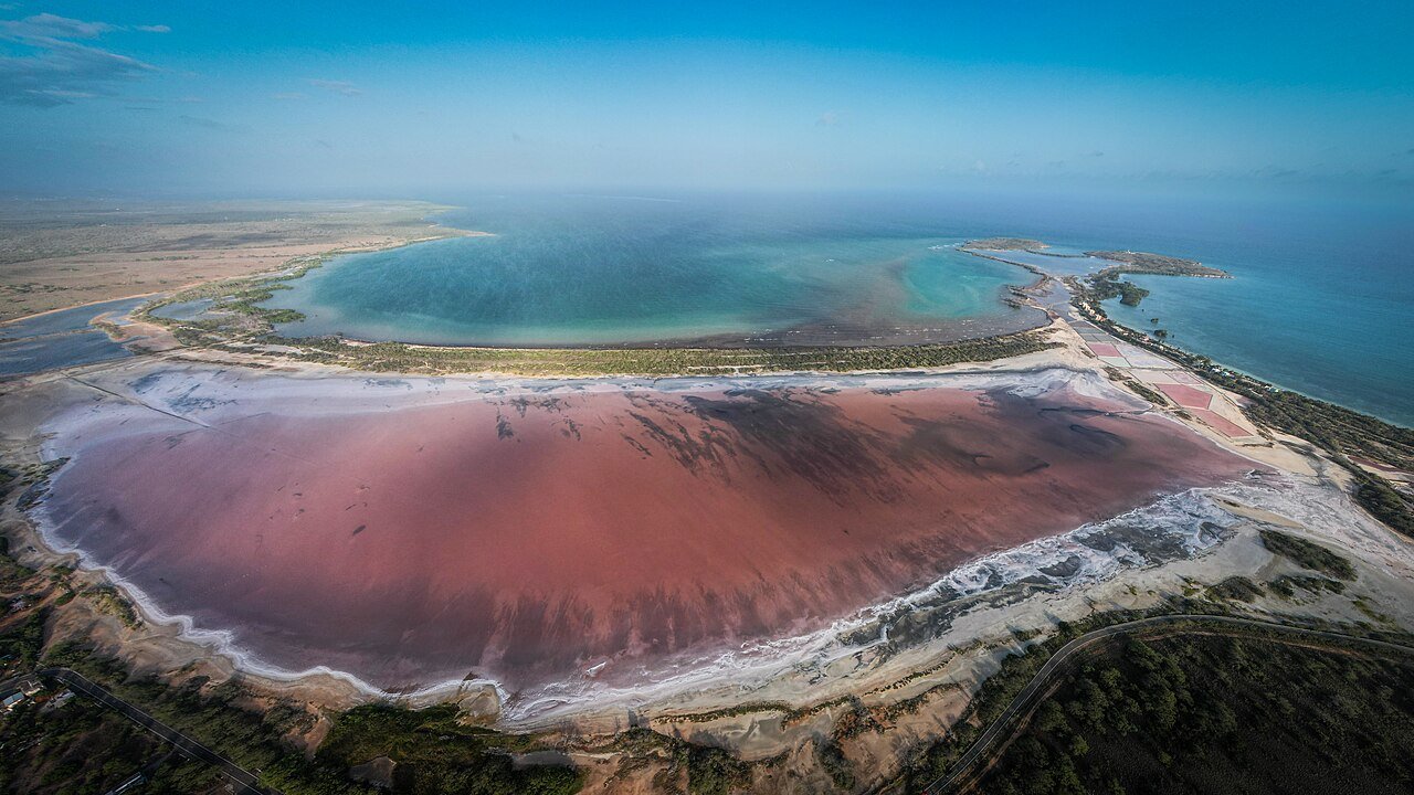
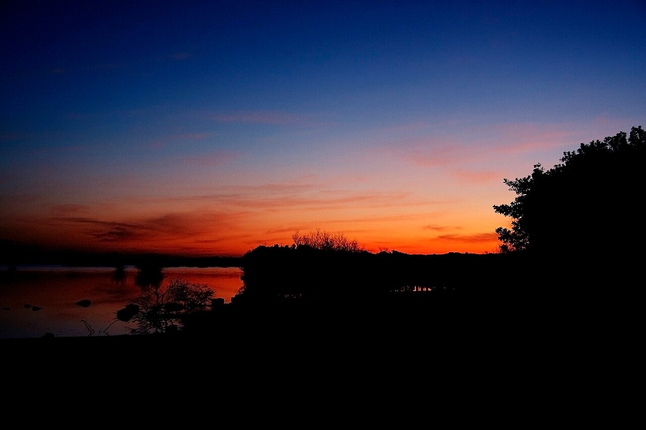
A dry, exposed landscape with a very different palette.
Cabo Rojo rewards visitors who notice its salt flats, birdlife and coast as a connected landscape. Carry water, limit midday exposure and keep to established access routes around fragile habitats.
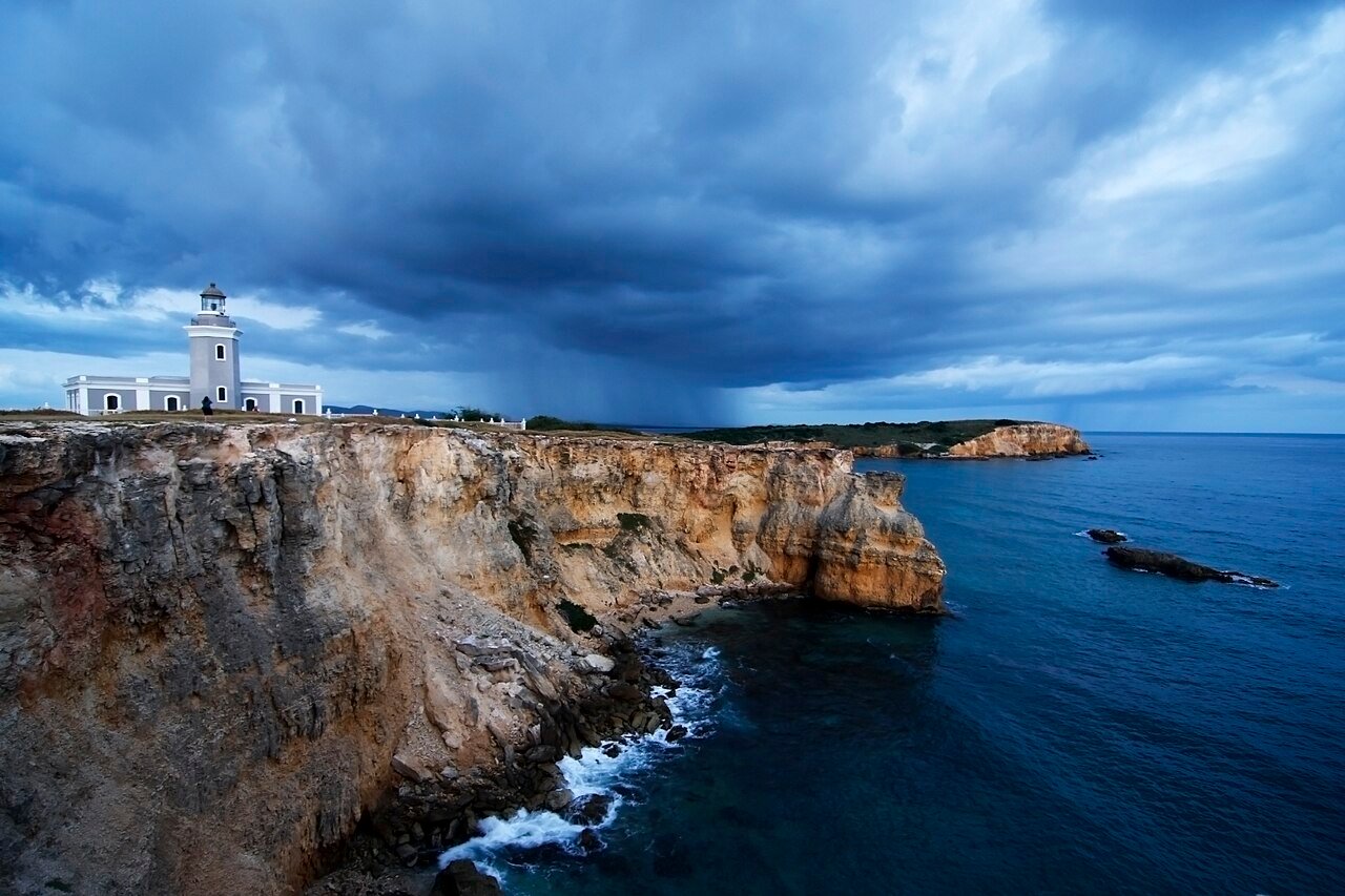
The lighthouse stands above a dramatic stretch of coast, but the headland is exposed and uneven. Take the landscape at walking pace, watching footing rather than searching for a cliff-edge photograph. Wind, heat and recent rain can alter the experience. Interior access is separate from the value of the exterior setting, so verify opening arrangements without making them the entire plan.
Getting here
Check the current approach road and parking conditions before driving in. Walk only the established route and remain well back from cliff edges.
Location: Los Morrillos Lighthouse Cabo Rojo. Confirm final access locally.
The salt-flat landscape supports a quieter visit focused on color, birds and the relationship between people and coastal ecology. Bring binoculars if you have them and keep a respectful distance from birds. The most useful stopping place depends on what is open and the day’s conditions. Follow refuge guidance rather than treating every track visible on a map as a visitor route.
Getting here
Use the refuge’s published access points and current visitor information; do not walk onto salt-production areas or closed habitat.
Location: Cabo Rojo National Wildlife Refuge Salt Flats. Confirm final access locally.
Allow a half-day for the headland and refuge, with a shaded break and a separate meal in town. Avoid combining several exposed walks in the hottest hours.
Before you book
Check current opening days and choose a walking route that suits your party. Reserve accommodation and any required transfers before filling the day with optional stops.
A second view adds context to Cabo Rojo. Keep the day flexible enough to notice the surrounding streets or landscape, and use the linked sources to distinguish a regional view from the exact visitor route.
Local life, one meal at a time
Eat & drink.
Plan a seafood or home-style meal in Boquerón or another town stop, checking opening hours before committing to a remote outing.
Give the meal its own time in the day. Ask what is seasonal and discuss ingredients directly with the kitchen for allergies or dietary requirements. A comfortable pause leaves more attention for the next part of the visit.
Choose a base that fits the visit
Where to stay.
Combate Beach Resort
A southwestern coastal base enquiry. Confirm driving distances to the lighthouse and refuge, room access and parking.
An editorial enquiry choice, not an inspected property or a claim of ATA membership.
Ask the practical questions
Confirm the exact location, current operation, room access, meals and total price directly. Ask what is included in transfers and activities, and request written terms for a booking. Choose the base for the visit you want to make, not only for a photograph of the property.
Use a suitable vehicle and check local road conditions. The final lighthouse approach can be rough; the map does not establish that a rental agreement permits every road.
Go to the source
Useful information.
Use the operator for its current services, the venue for access arrangements and official advice for travel conditions. Confirm details for your dates before paying.
Reviewed 12 November 2026. Pacing and base suggestions are ATA editorial choices. Accommodation links are direct enquiry points, not inspected-property endorsements or claims of ATA membership. Confirm current services, access and terms. Photographs are credited beside the images and may show earlier conditions.


 Enlarge photo ↗