
Let the road set the pace.
With altitudes seldom dipping below 9,000 feet, this byway earns its name. Visit historic mining railroad towns en route to historic Leadville, the highest incorporated community in the U.S. Old mining camps attest to the state s rich mining heritage. The route crosses the Continental Divide twice and traces the Arkansas River.
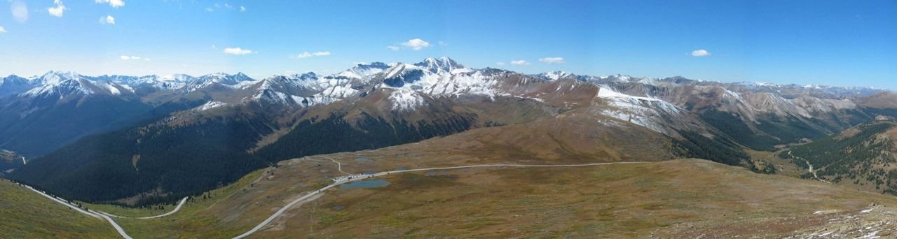
Public Domain. · Photo credits
Before you drive
Make it a satisfying day
Choose a realistic section, then allow time for viewpoints, a town stop and breaks. Scenic mileage rarely tells the whole story of how long an outing will take.
Match the road to your vehicle
Check the exact roads for your car, RV or motorcoach. Tunnel dimensions, turning space, grades and road surfaces can matter as much as distance.
Route overview and designation: Federal Highway Administration, America’s Byways. Research: October 2026. This is a travel idea, not live navigation or a guarantee that the full route is open. Confirm exact roads, current conditions, parking and any attraction reservations before departure.