
Let the road set the pace.
The landscape of the northern Cumberland Plateau is one of mountain paths, winding trails, sacred hunting grounds, and rich timberlands. Each landscape is defined by its own distinctive geologic formations, natural characteristics, legendary characters, and history. Over the 150-mile length of the Cumberland Historic Byway, each one of these landscapes gives way to another, and forms what was, at one time, a hidden frontier in America. The Cumberland Historic Byway links the Upper Cumberland Region, the Cumberland Gap, and the Cumberland River. This byway holds natural resources, unique geology, rich histories, and recreational activities for its travelers.
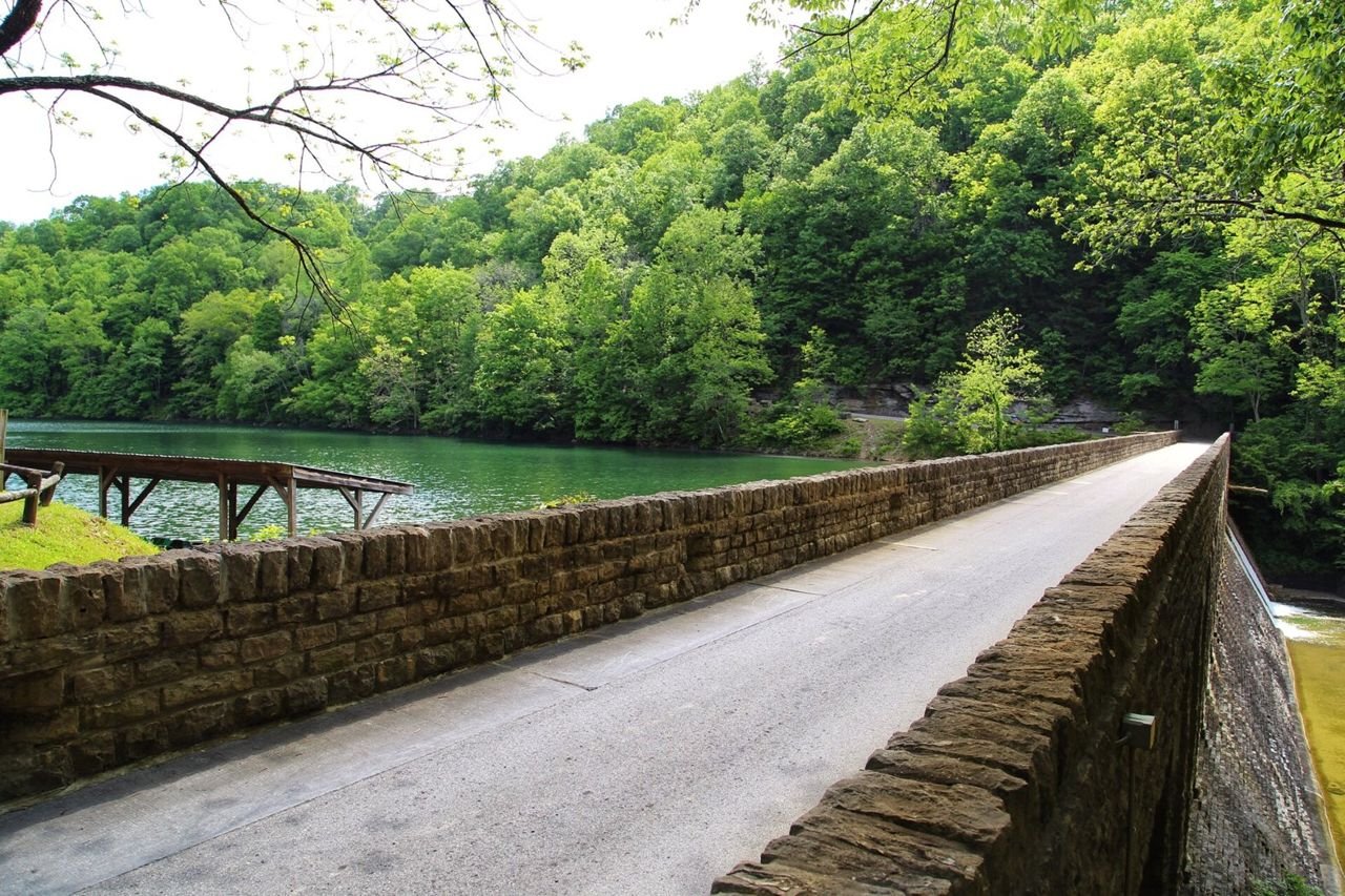
Public Domain. Tennessee Department of Transportation · Photo credits
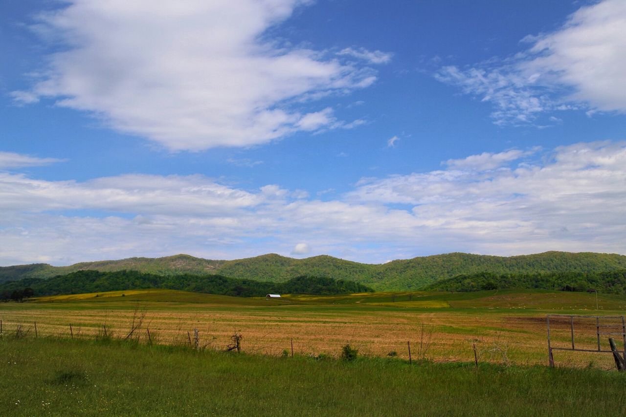
Public Domain. Tennessee Department of Transportation · Photo credits
Before you drive
Make it a satisfying day
Choose a realistic section, then allow time for viewpoints, a town stop and breaks. Scenic mileage rarely tells the whole story of how long an outing will take.
Match the road to your vehicle
Check the exact roads for your car, RV or motorcoach. Tunnel dimensions, turning space, grades and road surfaces can matter as much as distance.
Route overview and designation: Federal Highway Administration, America’s Byways. Research: October 2026. This is a travel idea, not live navigation or a guarantee that the full route is open. Confirm exact roads, current conditions, parking and any attraction reservations before departure.