
Let the road set the pace.
Norris Freeway, located near the heart of East Tennessee, is a byway steeped in American innovation history. This byway passes over Norris Dam, the location of which was selected by the Tennessee Valley Authority, to control the flooding in the Clinch and Powell River watershed. This byway begins in Rocky Top (once known as “Coal Creek”) and heads southeast to the unincorporated community of Halls. Parts of Anderson County, Campbell County, and Knox County are traversed along the route. With the beautiful scenery of the Tennessee Valley and state parks, travelers along the Norris Freeway can marvel at the innovation of the Norris Dam.

Public Domain. Michael Carberry · Photo credits
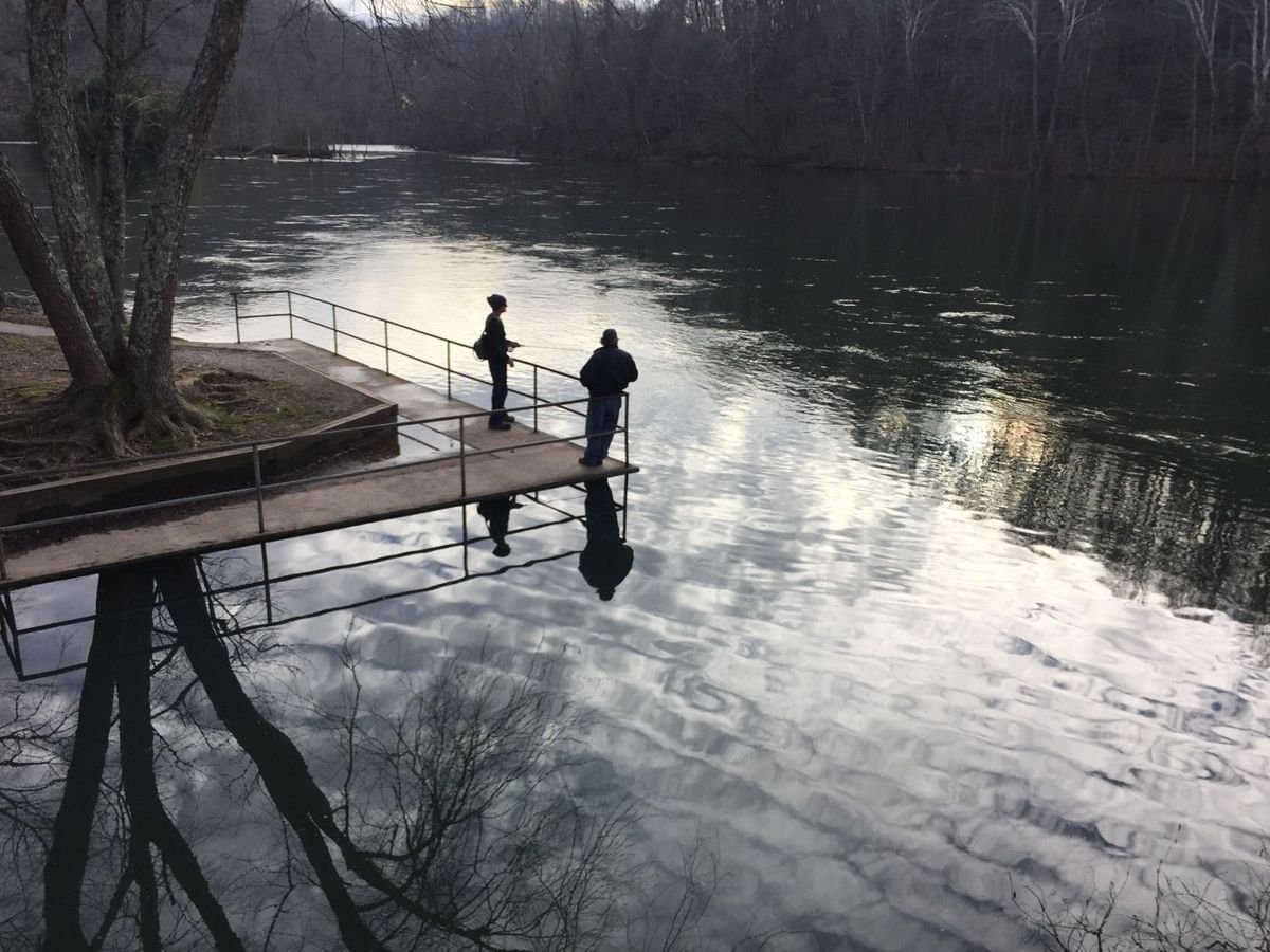
Public Domain. Michael Carberry · Photo credits
Before you drive
Make it a satisfying day
Choose a realistic section, then allow time for viewpoints, a town stop and breaks. Scenic mileage rarely tells the whole story of how long an outing will take.
Match the road to your vehicle
Check the exact roads for your car, RV or motorcoach. Tunnel dimensions, turning space, grades and road surfaces can matter as much as distance.
Route overview and designation: Federal Highway Administration, America’s Byways. Research: October 2026. This is a travel idea, not live navigation or a guarantee that the full route is open. Confirm exact roads, current conditions, parking and any attraction reservations before departure.