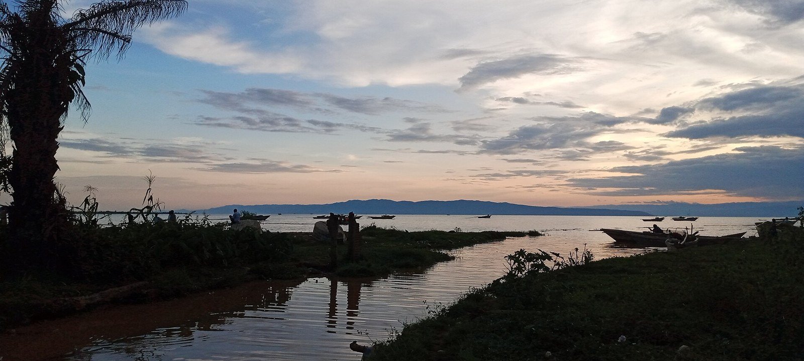
A working lakeside town on the southern Tanganyika shore.
Rumonge’s connection to Lake Tanganyika is practical as well as scenic. It is a port and trading town, with the surrounding shore linked to fishing and agriculture. Recent flooding and regional disruption make current local information essential; older beach itineraries should not be reused uncritically.
Explore · at your own pacePlan · sights and local lifeCheck · access before arrival
Observe the difference between a leisure beach and a place where people work. Ask before entering port areas or photographing traders and boats.
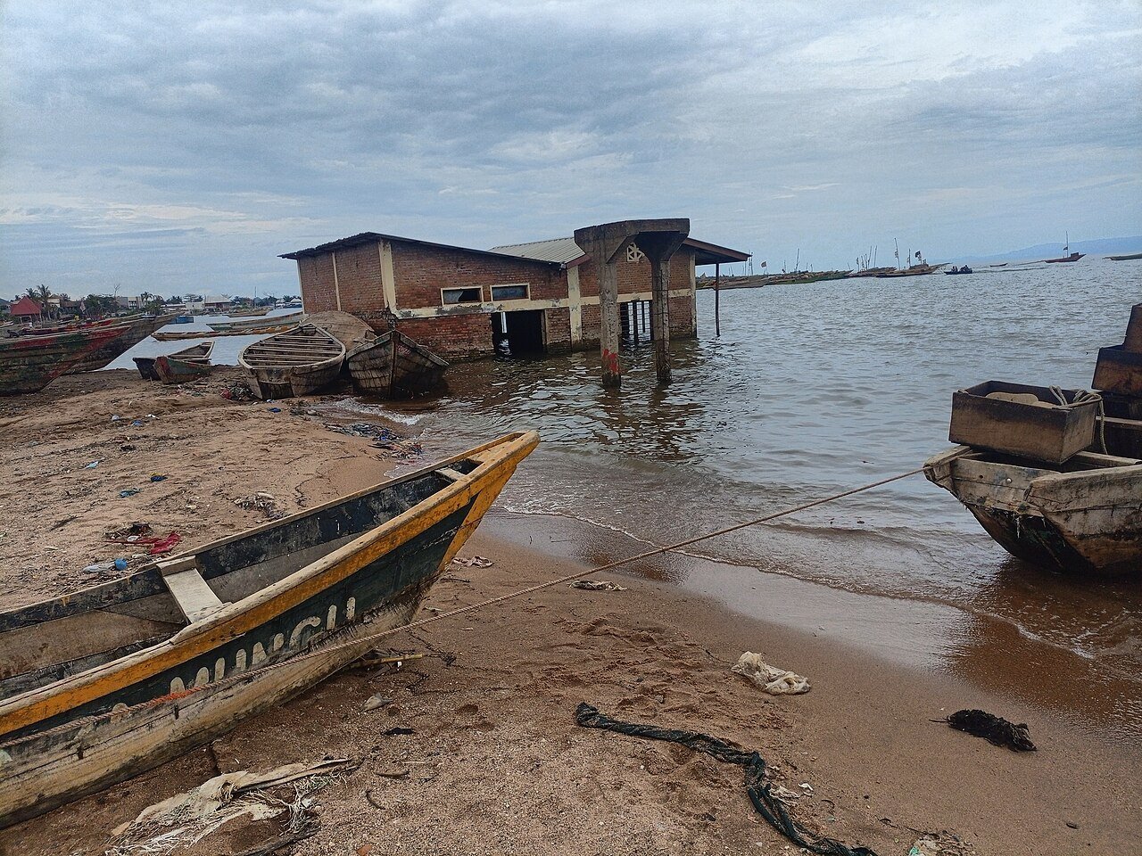
The port photograph records a working place affected by water conditions. Keep observation separate from entering operational areas, and seek permission before photographing identifiable workers or boats.
Distances along the lake require road planning. Confirm the condition of the exact approach to accommodation, including any flood-related disruption, rather than relying on a lakeside address.
Check the exact stretch of shore you intend to reach. Flooding can change access locally, so a general statement that the lakeside road is open is not enough to describe a property entrance.
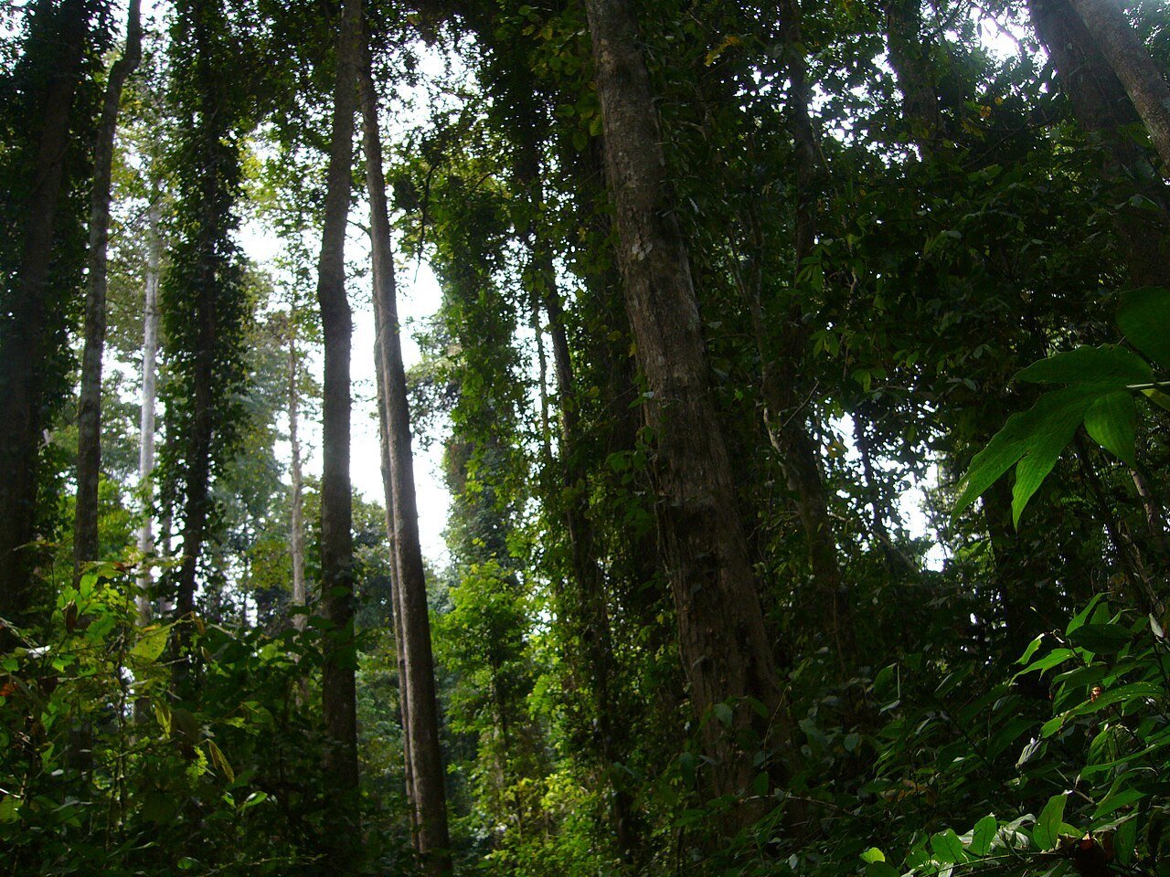
The forest reserve south of the main urban area is described by Burundi’s tourism authority. Any visit requires separate checks on permission, guiding, access and security; this page does not establish present operation.
Kigwena is a separate forest enquiry. Ask about permission, guiding and the physical route, and do not infer an operating visitor service from the existence of a tourism description.
Confirm road conditions and fuel arrangements from your departure point. Avoid making a same-day international connection dependent on an unverified lakeshore transfer.
A day to make your own
If a visit is appropriate under current advice, choose one clearly arranged focus on the town or shore. A forest outing needs its own confirmation instead of being added casually after lunch.
Local life, one meal at a time
Eat & drink.
Ask where fish has come from and how it is prepared; take local health advice seriously. The appeal of a lake view does not remove the need to check food and water hygiene.
Keep a meal break between your main sights rather than adding it after an already full day. Ask what is seasonal, what the portion includes and whether the kitchen is serving at the time you expect to arrive.
For a group or anyone with dietary requirements, confirm the menu and ingredients directly. Leave time for the conversation as well as the food.
The right base changes the visit
Where to stay.
CHOOSE YOUR SETTING
Location before labels.
Ask accommodation providers about flood effects on the access road and entrance, current meals and transport. A lakefront marketing photograph may predate important changes on the ground.
LOCAL ENQUIRIES
Confirm the exact place.
No currently operating accommodation is asserted for this destination. Use the official visitor source to identify the appropriate local contact, and check the exact address and travel conditions before making arrangements.
Confirm conditions along the whole lakeshore journey, not only the destination. Arrange fuel, drinking water, a return plan and a contact for changes. Avoid tying an uncertain road transfer to a same-day international departure.
Useful contacts
Go to the source.
Use current official information for access and conditions, and the destination or property itself for its own services. An old photograph or previously published itinerary does not establish today’s arrangements.
Photographs are credited beside each image and may show earlier conditions. The suggested pacing and base comparisons are ATA editorial planning ideas, not bookable itineraries or guaranteed operating information.