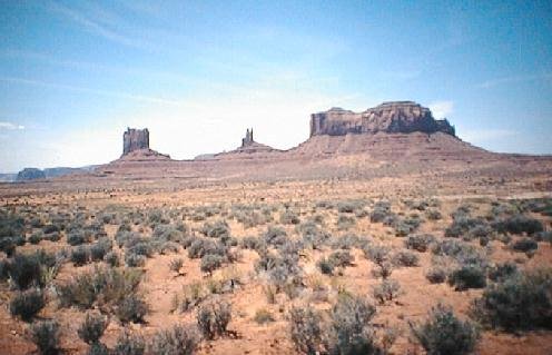
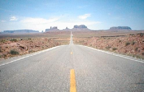
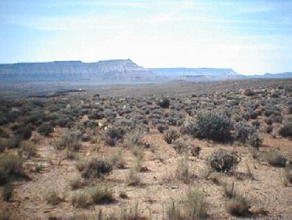
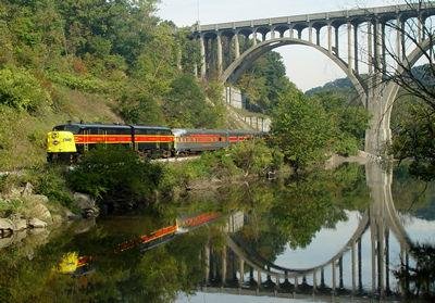
Scenic photographs come from credited National Park Service and BLM sources, public-domain byway galleries, and the American Tour Association’s supplied website content. Captions identify the scenes. Header images may be shared across related guides; their credits name the actual place shown. Images have been resized and some display frames crop them.
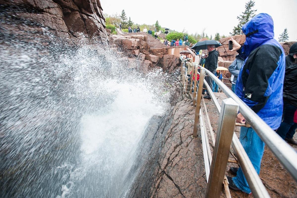
Thunder Hole and the rocky Atlantic shoreline.
NPS Photo by Kent Miller
Source & attribution ↗
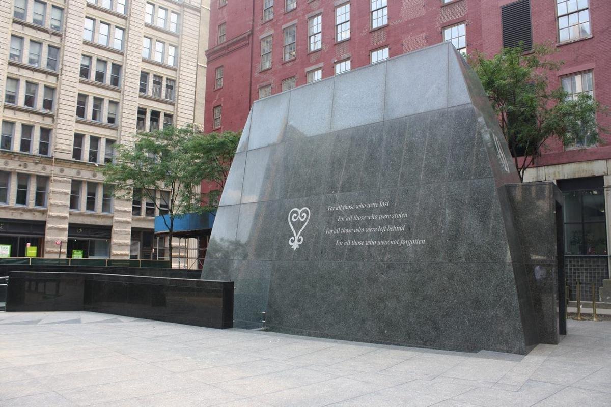
African Burial Ground Memorial
NPS Photo
Source & attribution ↗
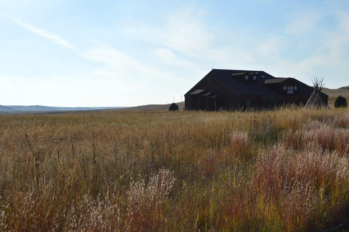
From the Fossil Hills Trail the Visitor Center is a ship in a sea of prairie grasses.
NPS Photo
Source & attribution ↗
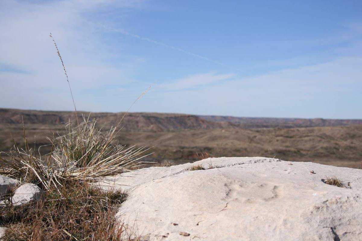
Turtle Petroglyph at Antelope Creek Village Site
NPS Photo
Source & attribution ↗
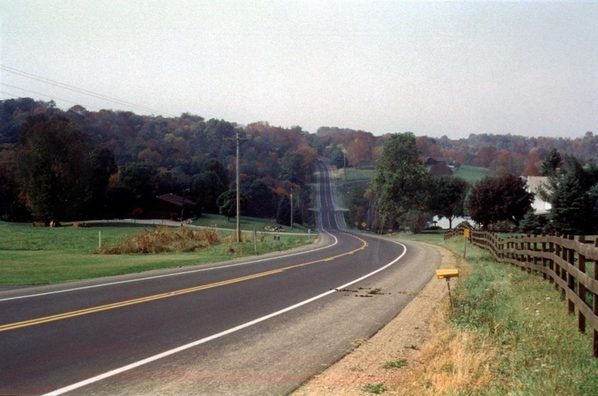
Amish Country Byway Rt. 62
Public Domain.
Source & attribution ↗
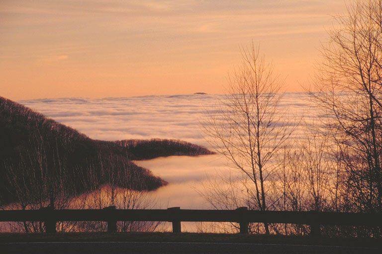
An Island Amid the Ocean of Clouds on the Cherohala Skyway
Public Domain. Photo by Dennis Adams
Source & attribution ↗
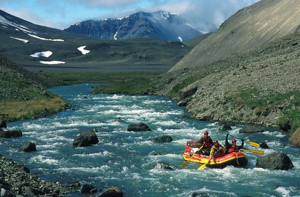
A lone raft floats the Aniakchak Wild River as it flows through the "Gates"
NPS Photo/Troy Hamon
Source & attribution ↗
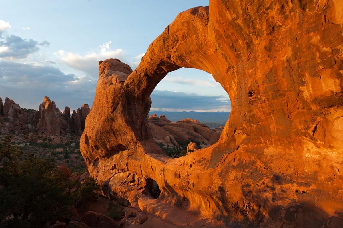
Double O Arch is one of many large arches in the Devils Garden area
NPS Photo
Source & attribution ↗
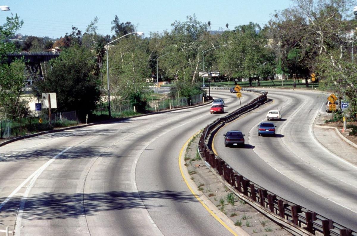
Arroyo Seco Parkway with Historic Railroad Bridge
Public Domain. Photo by Diane Kane of Caltrans
Source & attribution ↗
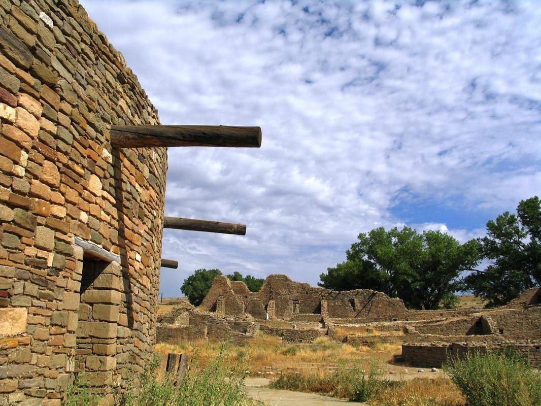
Great Kiva in Aztec West plaza
NPS Photo
Source & attribution ↗
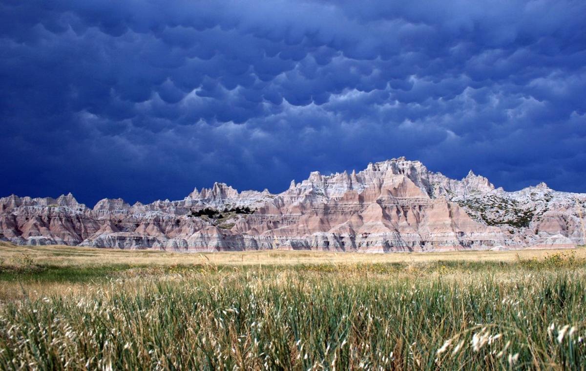
Summer storms are frequently violent and unpredictable.
NPS Photo
Source & attribution ↗
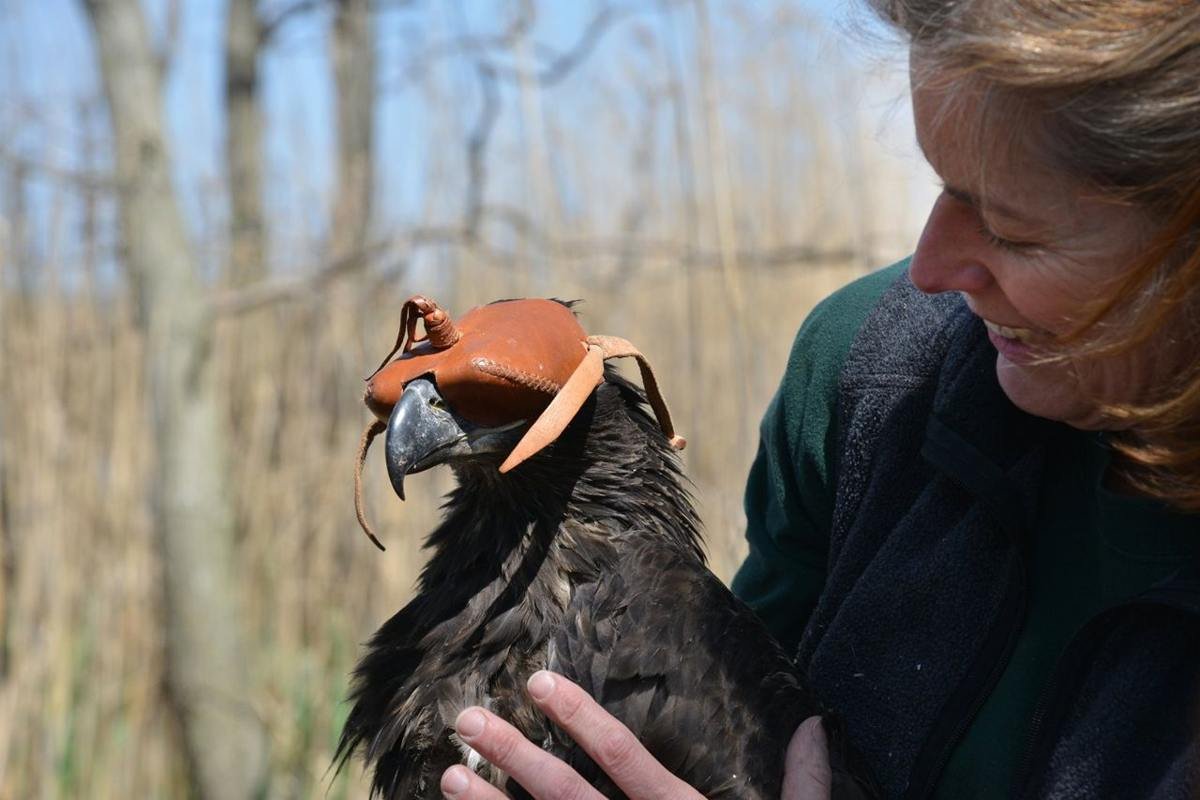
Bayshore Heritage Byway, NJ, Maurice River National Scenic & Recreational River – NJ Eagle Recovery Program Banding by NJ Div. of Fish and Wildlife.
Public Domain. Jane Morton Galetto
Source & attribution ↗
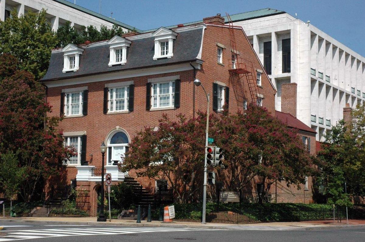
411th Unit of the National Park Service
NPS Photo
Source & attribution ↗
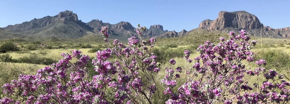
Cenizo, or Big Bend Silverleaf blossoms after summer rains.
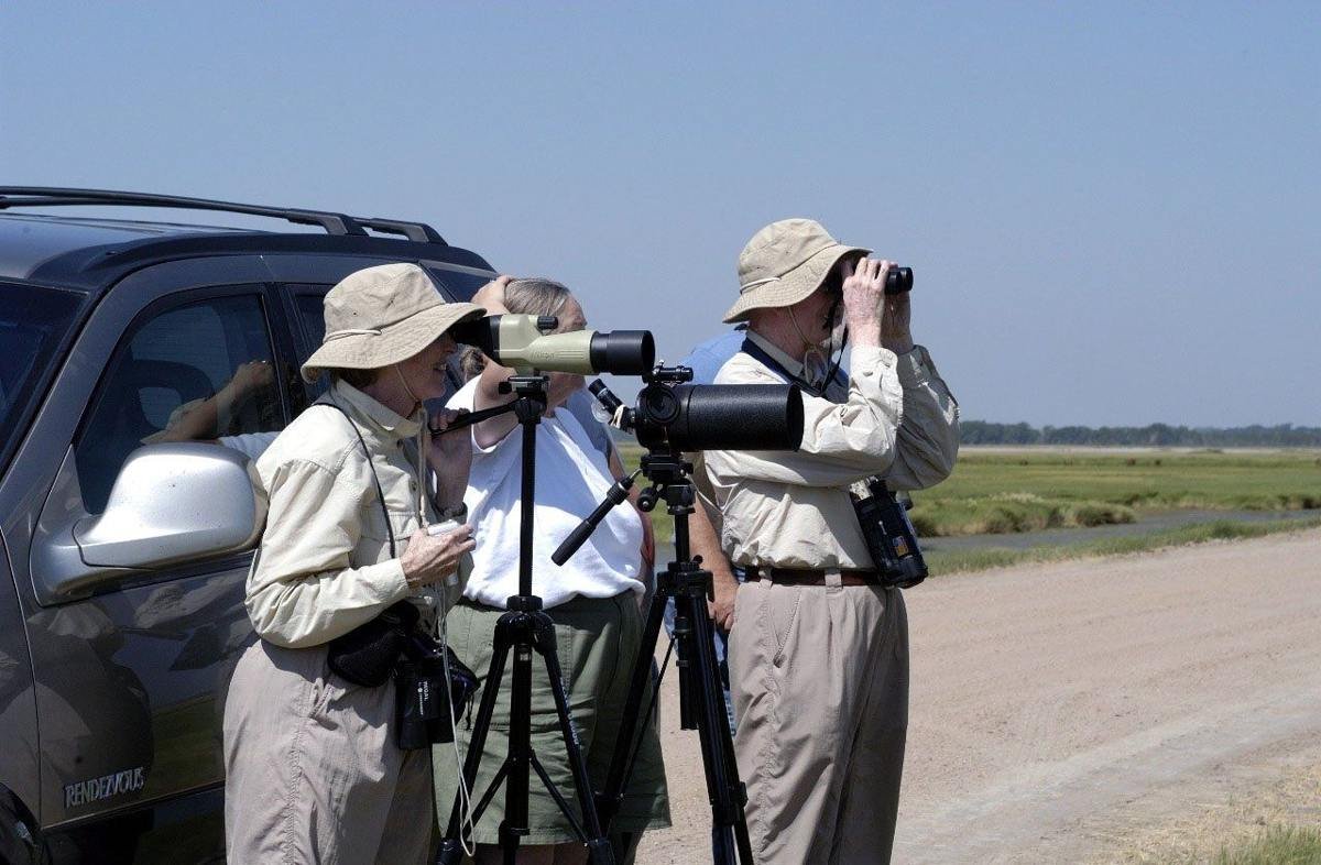
Birdwatchers
Public Domain.
Source & attribution ↗
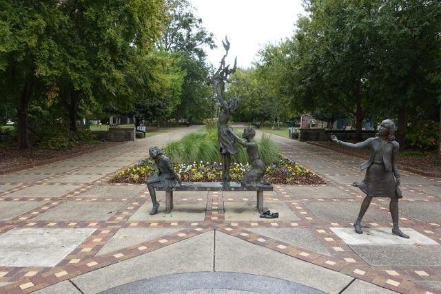
Hundreds of people visit Kelly Ingram Park each year to learn about the Civil Rights Movement in Birmingham
NPS Photo
Source & attribution ↗
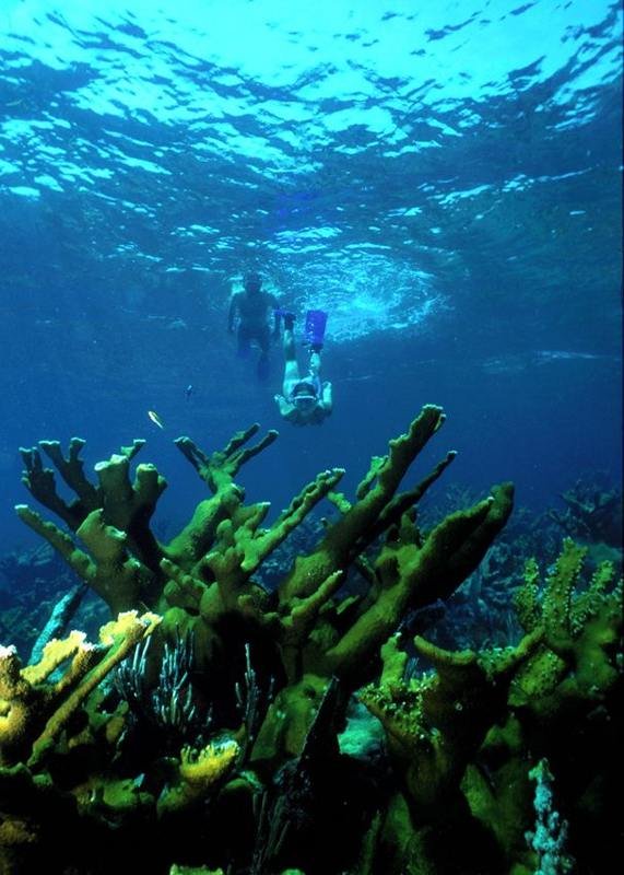
Snorkeling is a great way to explore the coral reefs in the park
NPS image by Shaun Wolfe
Source & attribution ↗
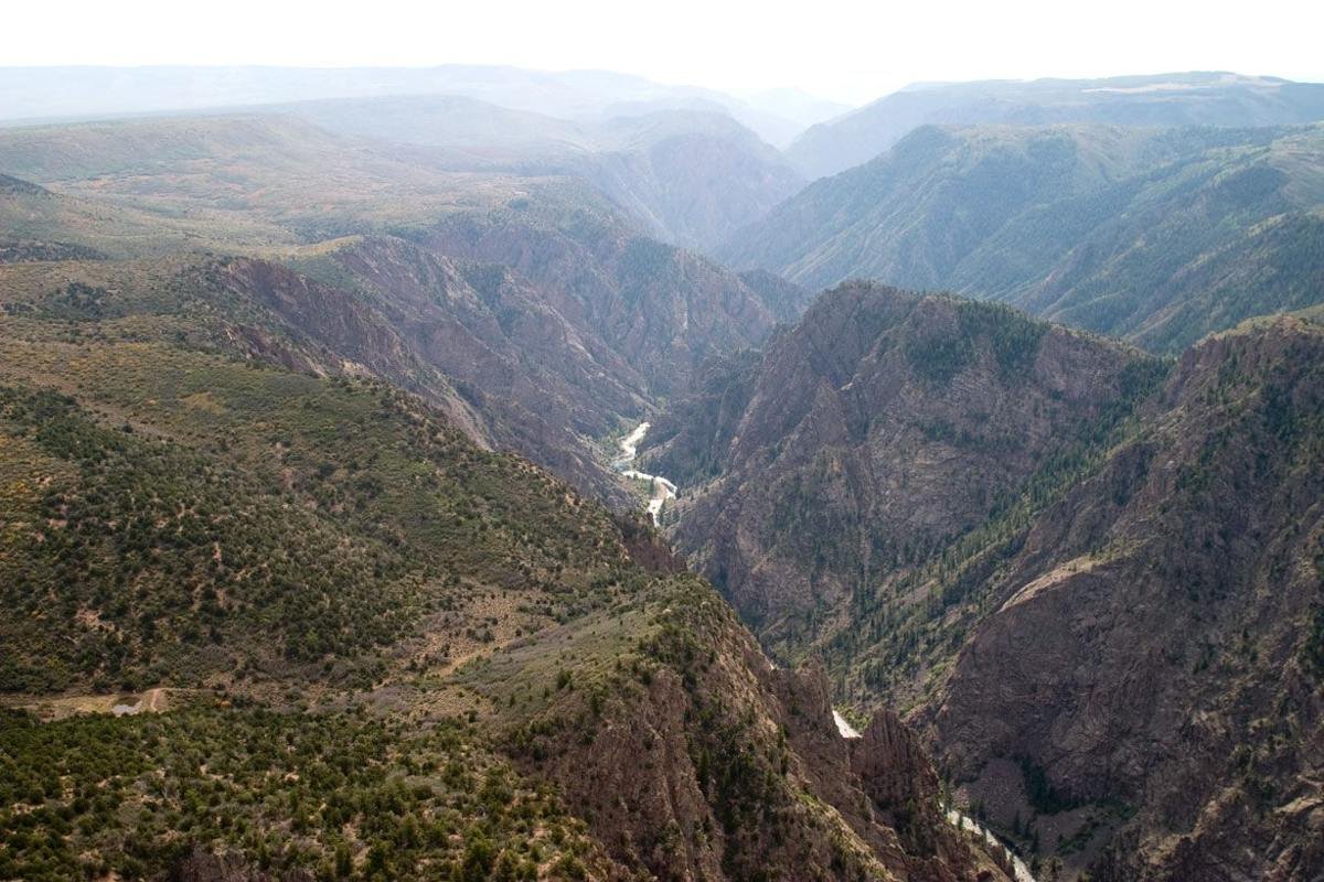
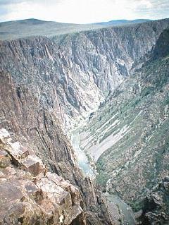
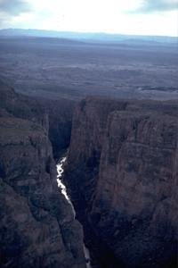
Black Canyon near Tomichi Point
NPS Photo/Lynch
Source & attribution ↗
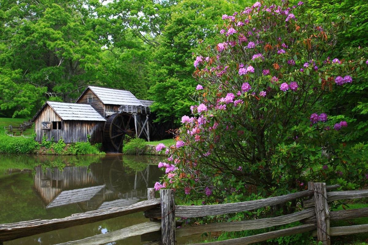
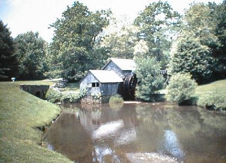
Located in Virginia's Plateau district, picturesque Mabry Mill is one of the most iconic features of the Blue Ridge Parkway
NPS Photo
Source & attribution ↗
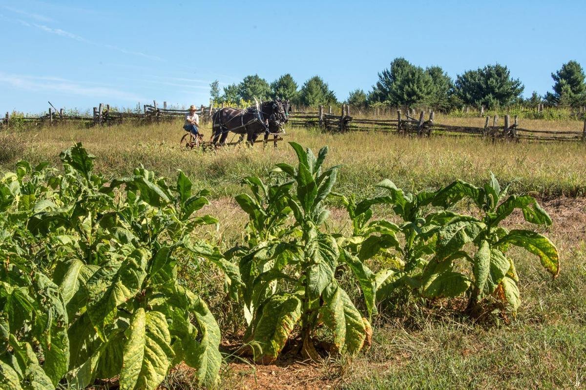
The main crop on the plantation where Booker T. Washington was born was tobacco. This photograph shows a man with draft horses preparing to plow a field.
NPS Photo/ VIP Bill Tucker
Source & attribution ↗
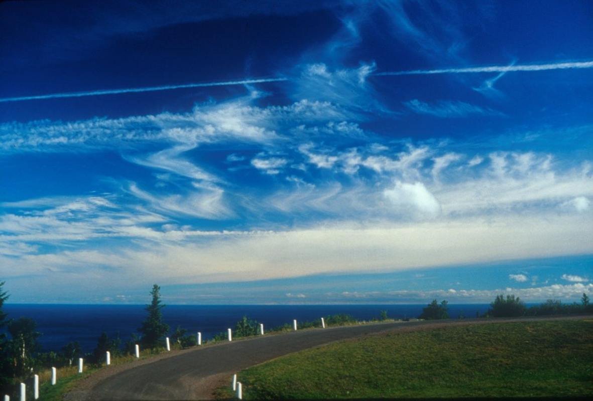
Brockway Mountain Drive
Public Domain. Tim Burke
Source & attribution ↗
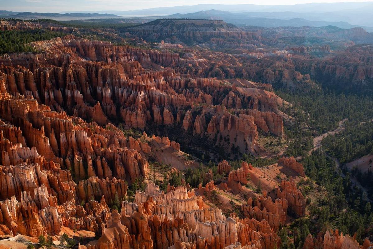
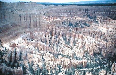
Viewpoints of the iconic Bryce Amphitheater are located along the first 3 miles of the park road and are a popular destination at sunrise.
NPS Photo / Peter Densmore
Source & attribution ↗
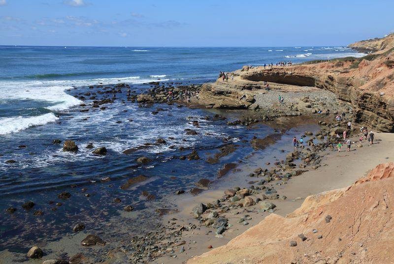
Low Tide at the Tidepools
NPS Photo / Dan Zeller
Source & attribution ↗
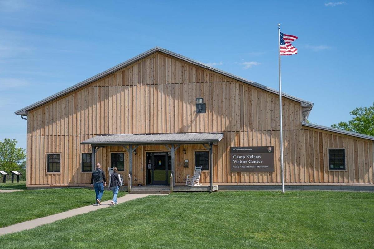
Camp Nelson National Monument Visitor Center and Museum
NPS/A. Goetz
Source & attribution ↗
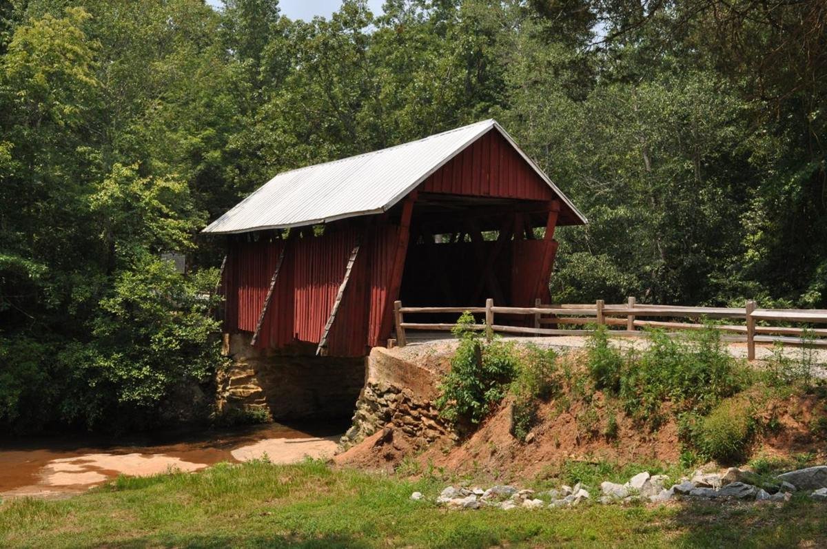
Campbell's Covered Bridge in Summer
Public Domain. Photo by Dennis Egan
Source & attribution ↗
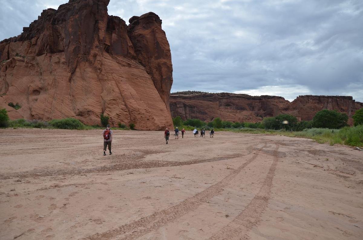
Visitors can enjoy a free ranger led hike into the canyon
NPS Photo
Source & attribution ↗
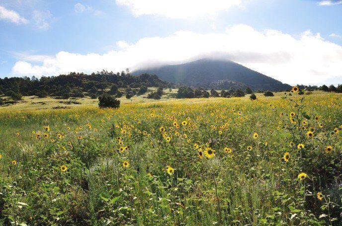
Capulin Volcano in summer.
NPS photo/ R. Richman
Source & attribution ↗
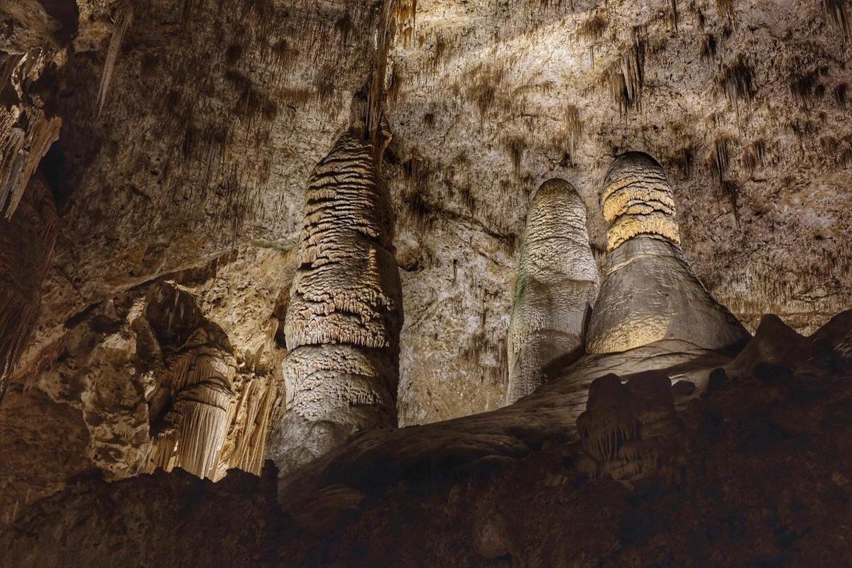
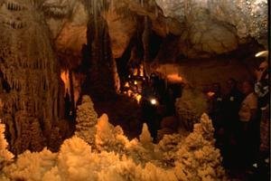
Giant and Twin domes in the Big Room.
NPS / Michael Larson
Source & attribution ↗
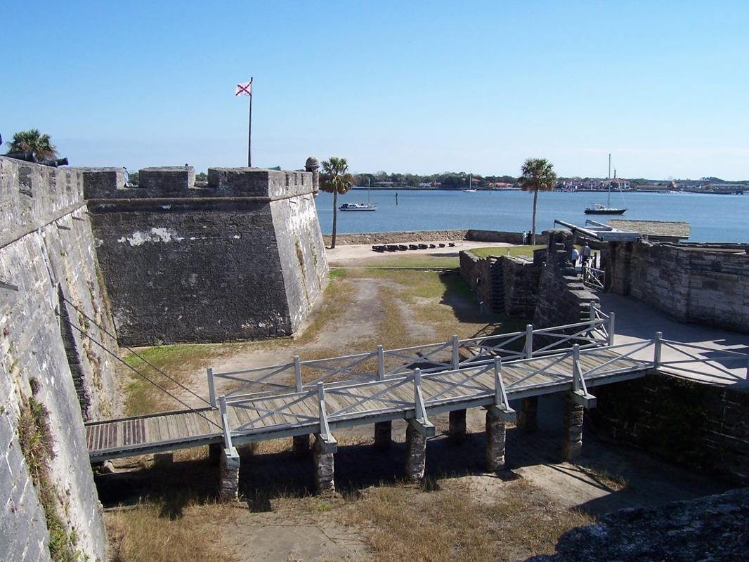
Crossing a dry moat, this drawbridge was the only way into the Castillo.
NPS Photo
Source & attribution ↗
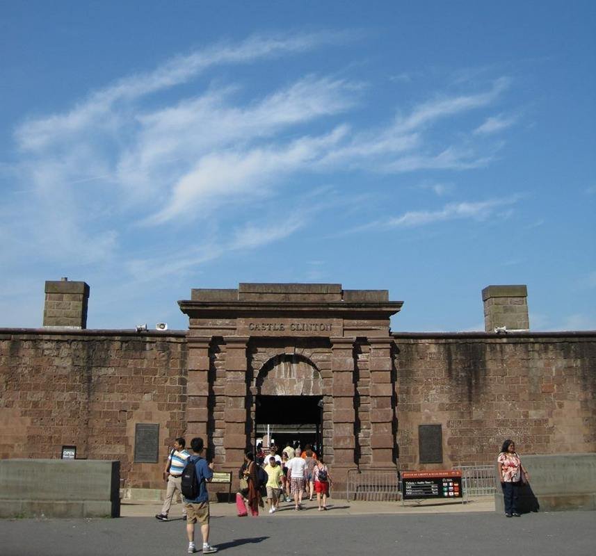
Castle Clinton stands where New York City began.
NPS Photo/Laura Brennan
Source & attribution ↗
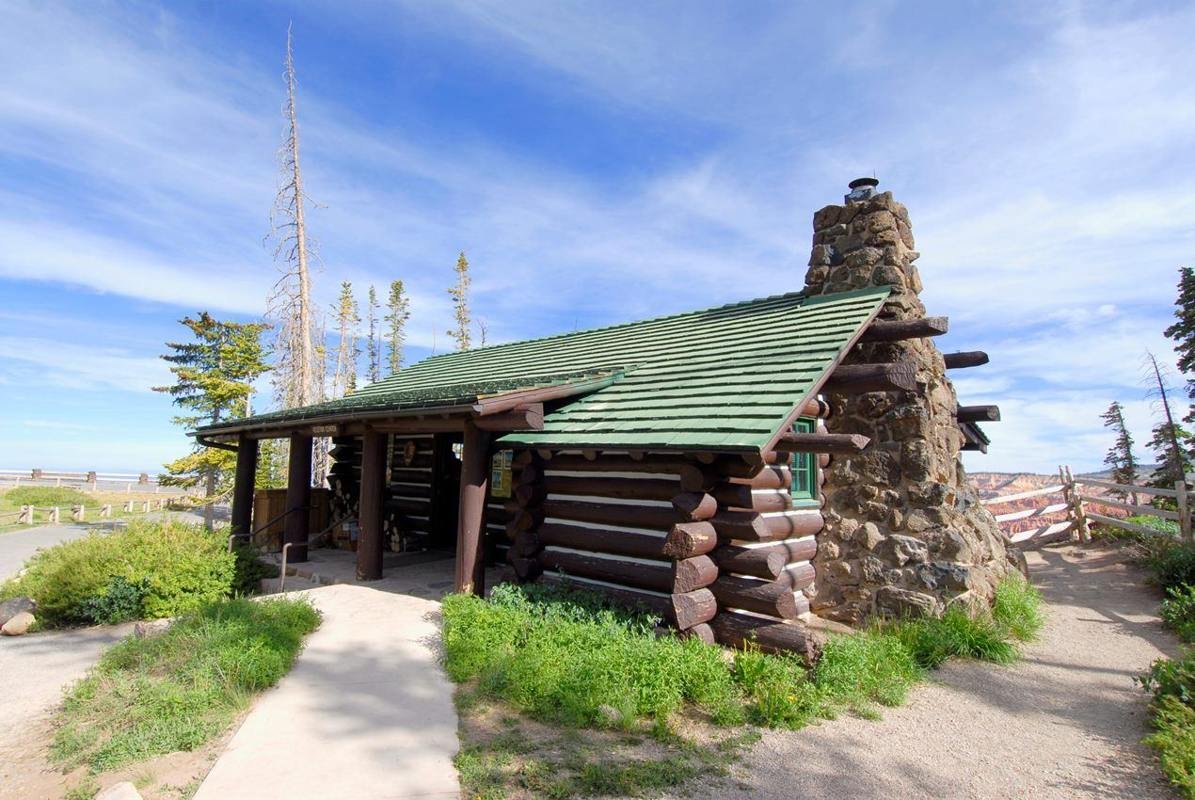
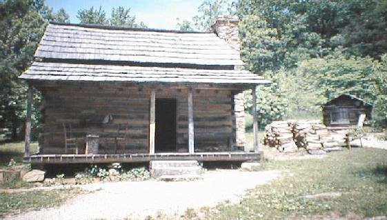
This log cabin built in 1937 housing the information center and park store.
NPS Photo
Source & attribution ↗
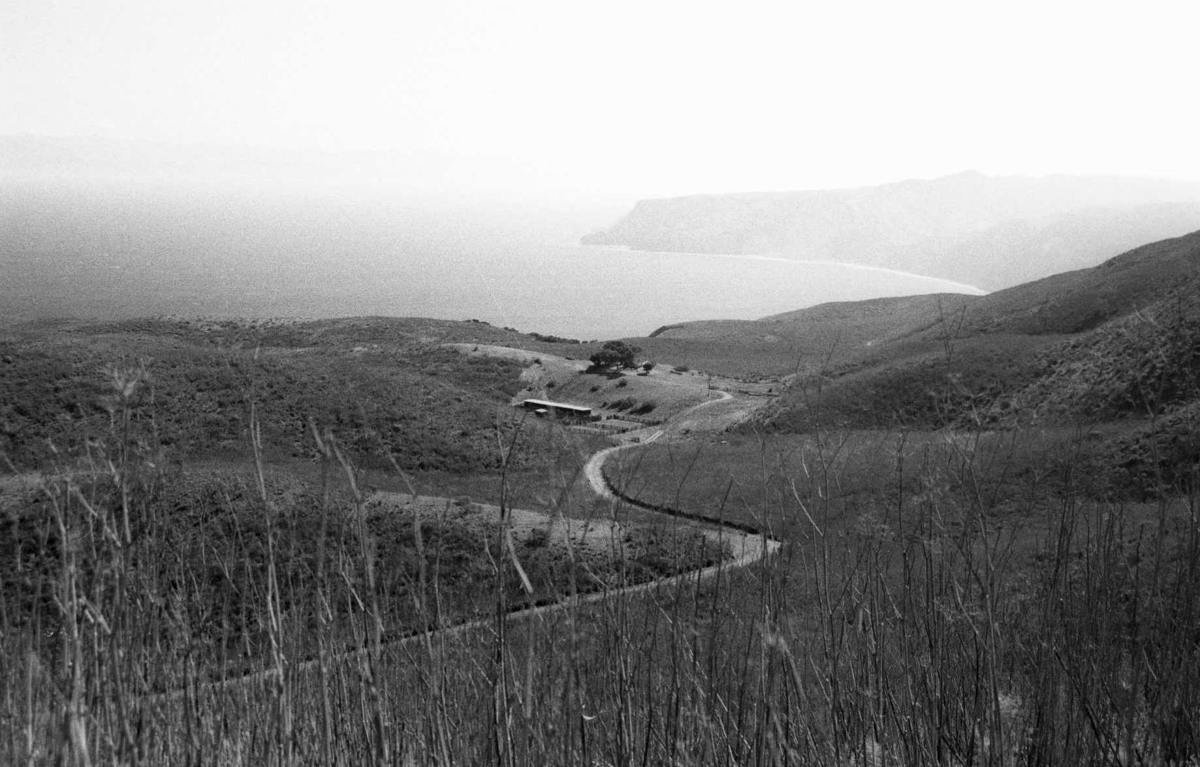
Santa Cruz Island landscape surrounding Rancho del Norte.
NPS Photo, 2002
Source & attribution ↗
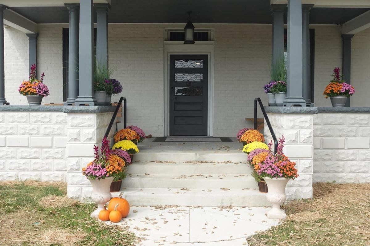
The front of Youngsholm, the park's visitor center
NPS / Roger Osorio
Source & attribution ↗
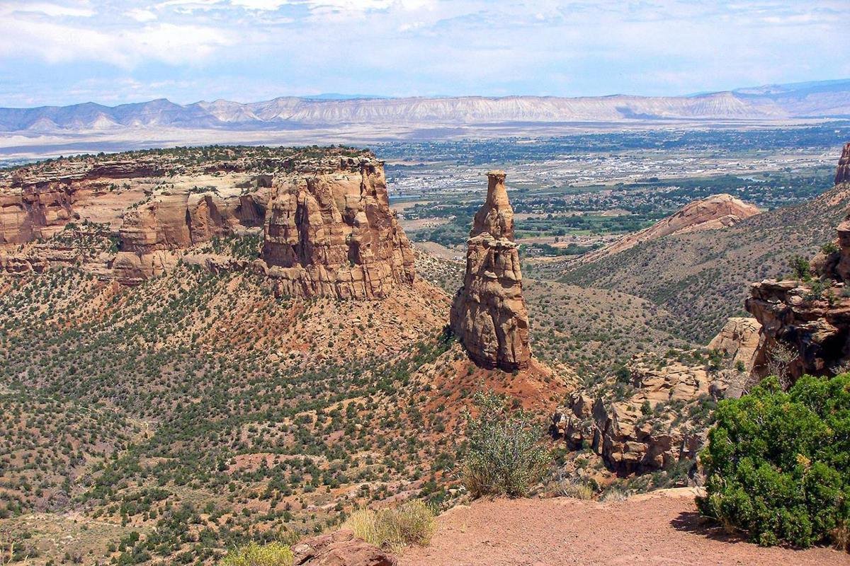
Independence Monument as seen from Rim Rock Drive is an icon of the larger national monument.
NPS Photo
Source & attribution ↗
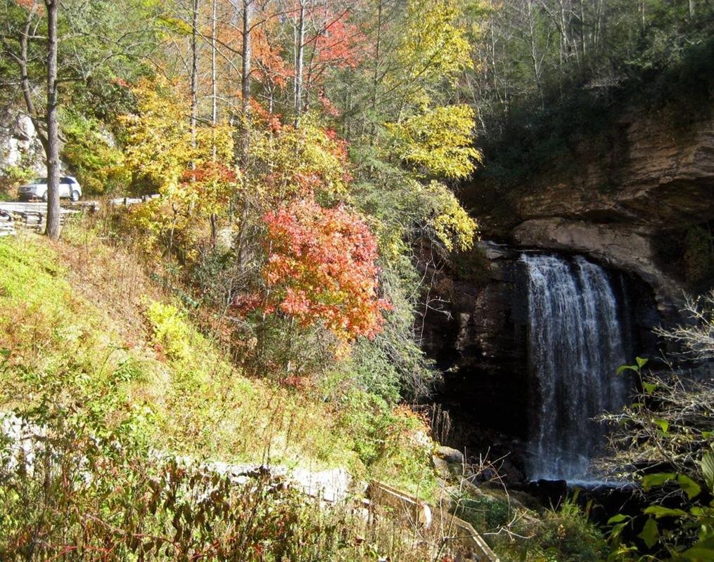
Colorful Autumn Leaves at Looking Glass Falls
Public Domain.
Source & attribution ↗
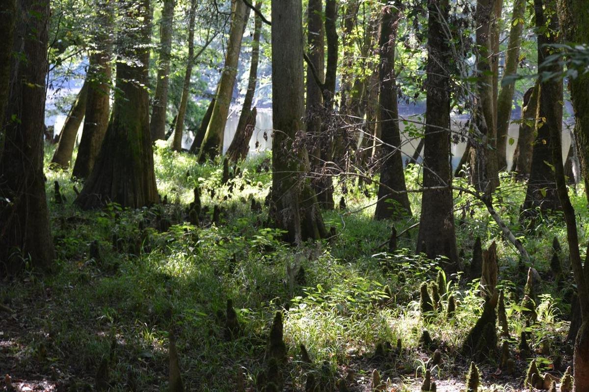
Cypress trees and knees by Weston Lake
NPS Photo
Source & attribution ↗
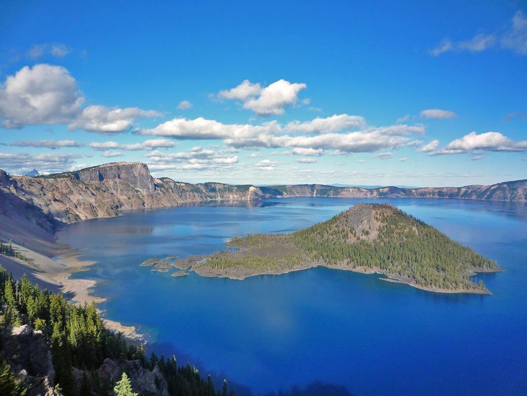
Looking at Crater Lake and Wizard Island from Discovery Point
NPS Photo
Source & attribution ↗
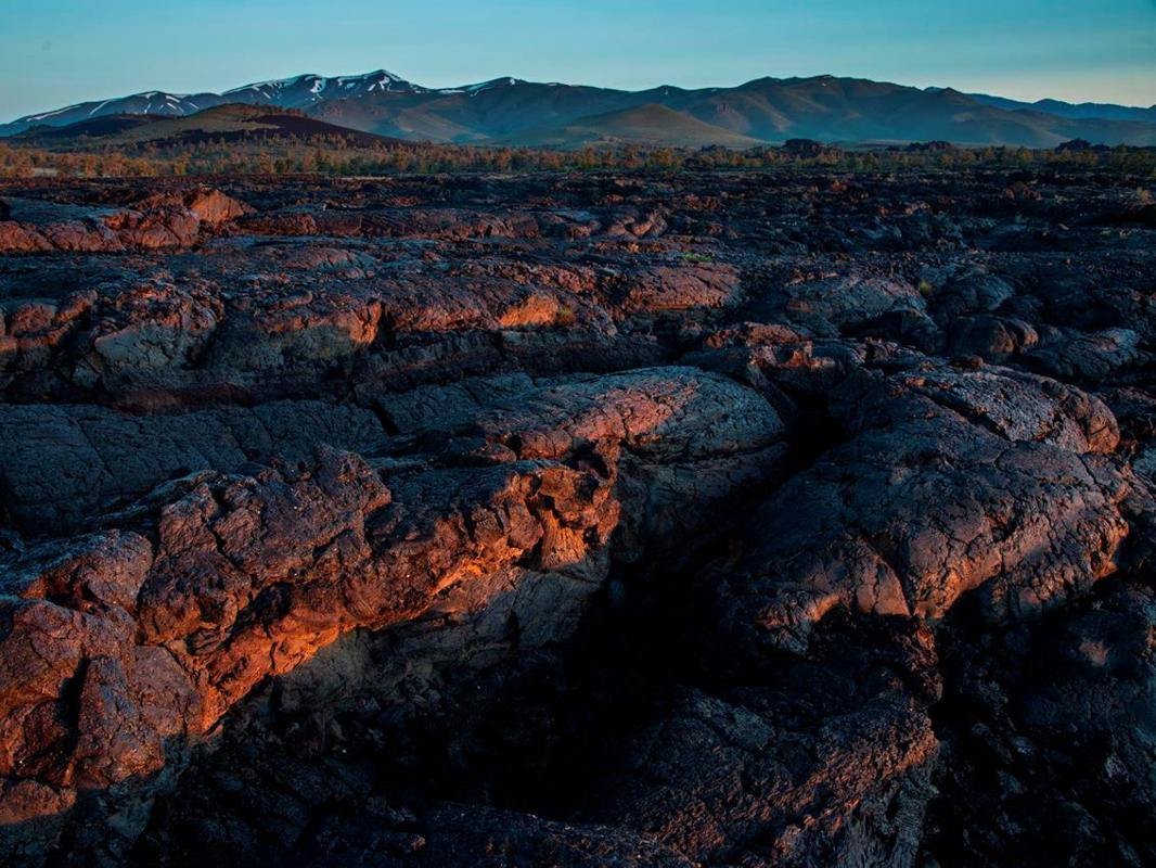
Craters of the Moon features the largest young lava field in the lower 48 states, encompassing the entire Great Rift volcanic zone.
NPS / David Hunter
Source & attribution ↗
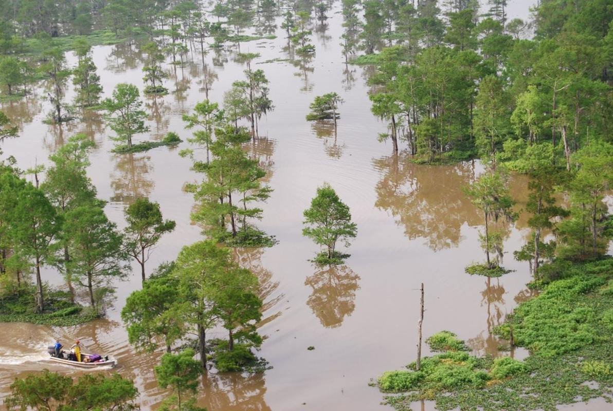
Crawfishing in Basin
Public Domain. Atchafalaya National Heritage Area
Source & attribution ↗
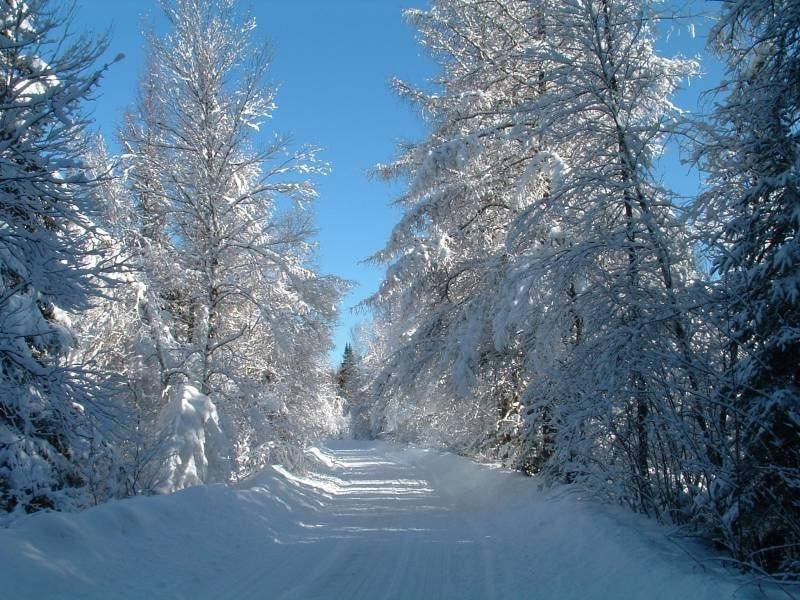
Cross-Country Ski Trail in the White Mountains
Public Domain. Photo by Roland Caron
Source & attribution ↗
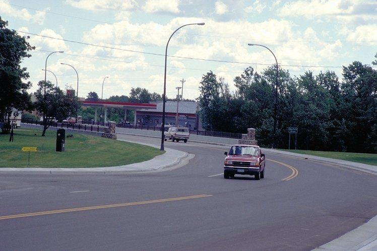
Crossing the Bridge in Bigfork
Public Domain. Photo by Dennis Adams of FHWA
Source & attribution ↗
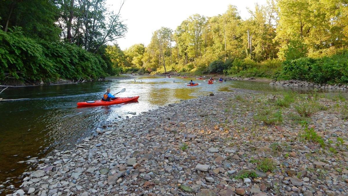
A group of kayaks passing a rocky beach on the Cuyahoga River in summer.
NPS Photo / D.J. Reiser
Source & attribution ↗
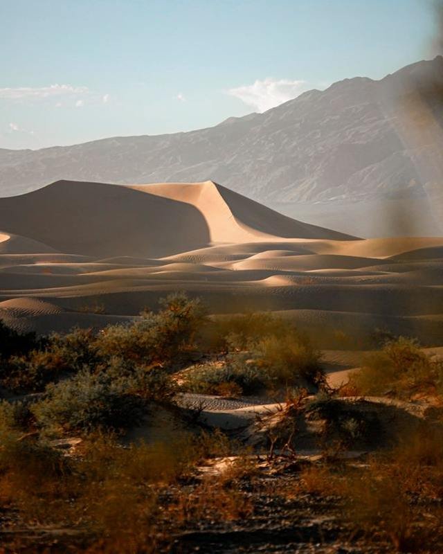
The Mesquite Dunes are known for dramatic shadows at sunrise and sunset, as ripples and edges in the dunes stand out in greater contrast.
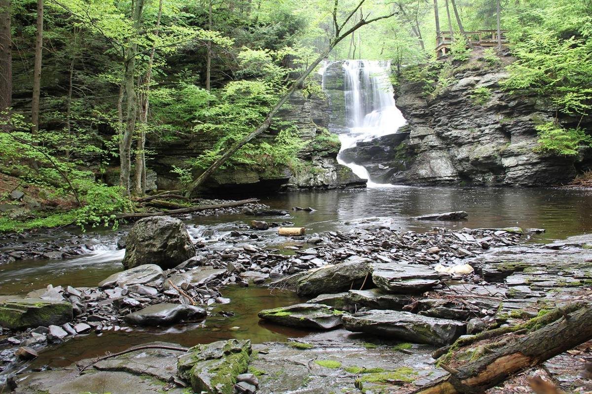
Fulmer Falls is the second of three waterfalls in George W. Childs Park
NPS Photo
Source & attribution ↗
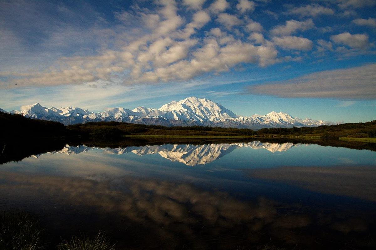
Mount McKinley is the highest mountain in North America
NPS Photo / Nathan Kostegian
Source & attribution ↗
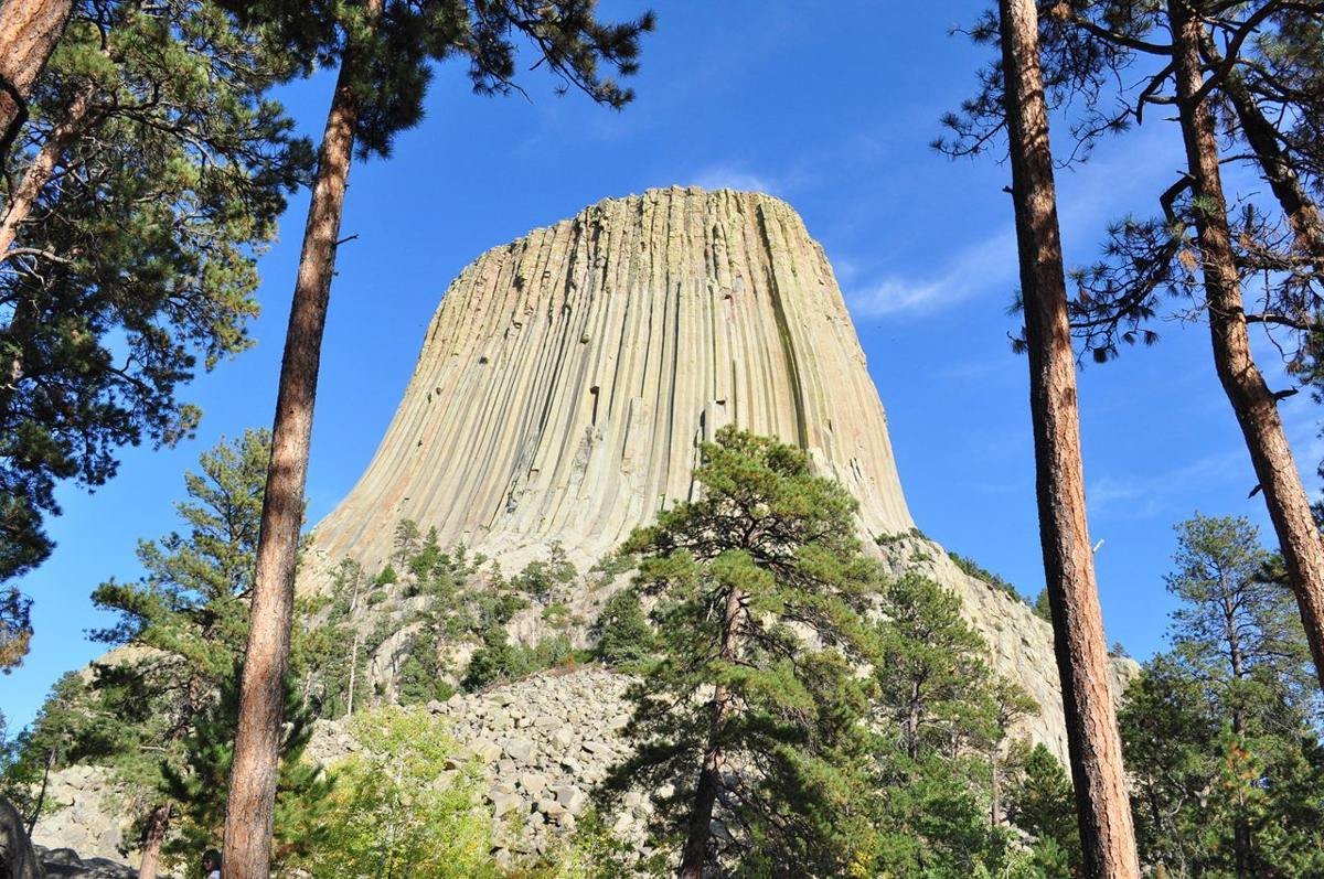
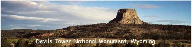
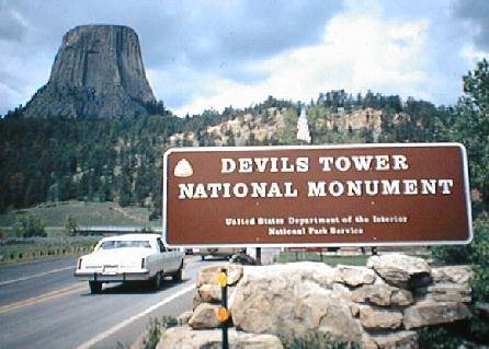
Devils Tower looming above the trees
NPS/ S. Carter
Source & attribution ↗
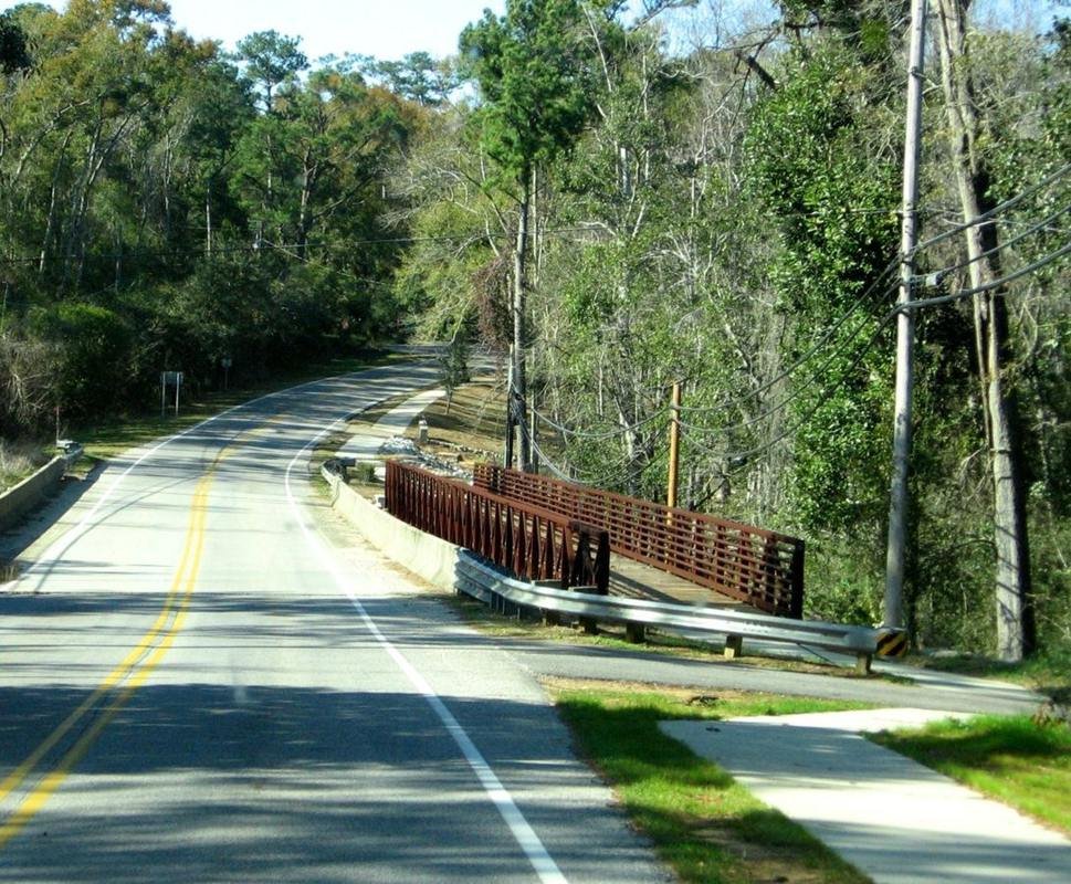
Eastern Shore Trail
Public Domain.
Source & attribution ↗
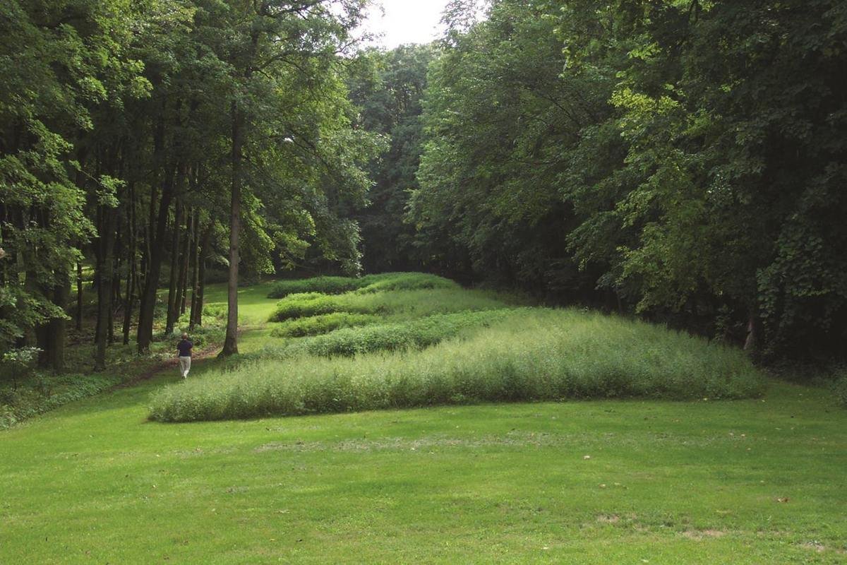
Marching Bear Mound Group in summer.
NPS Photo
Source & attribution ↗
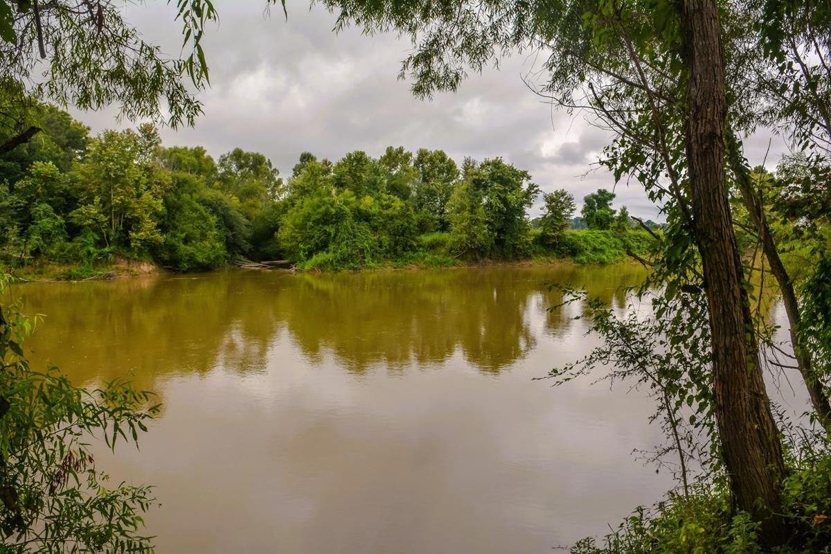
Fourteen-year-old Emmett Till’s body was found near Graball Landing on the Tallahatchie River following his lynching in 1955.
NPS / Chalice Keith
Source & attribution ↗
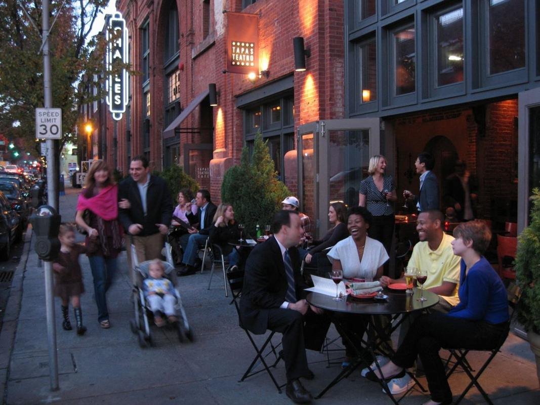
Enjoying Sidewalk Dining Along Charles Street in the Station North Arts & Entertainment District
Public Domain. Courtesy of the Charles Street Development Corporation
Source & attribution ↗
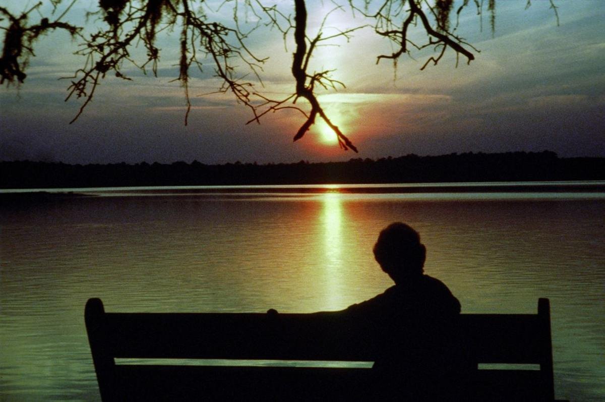
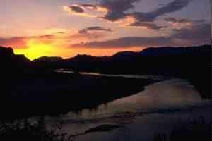
Enjoying the Sunset over the Estuary
Public Domain.
Source & attribution ↗
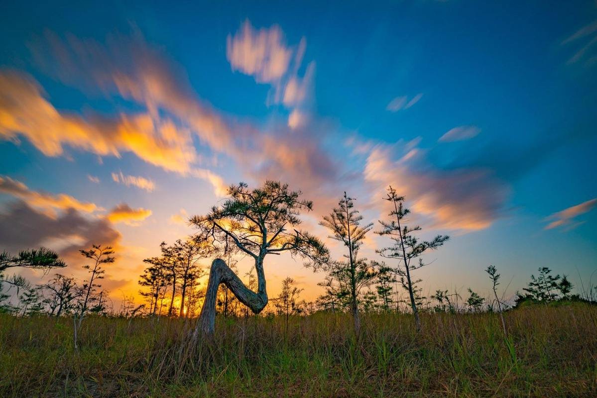
Cypress Tree Sunrise (2020 Photo Contest)
NPS Photo by Miguel Salas
Source & attribution ↗
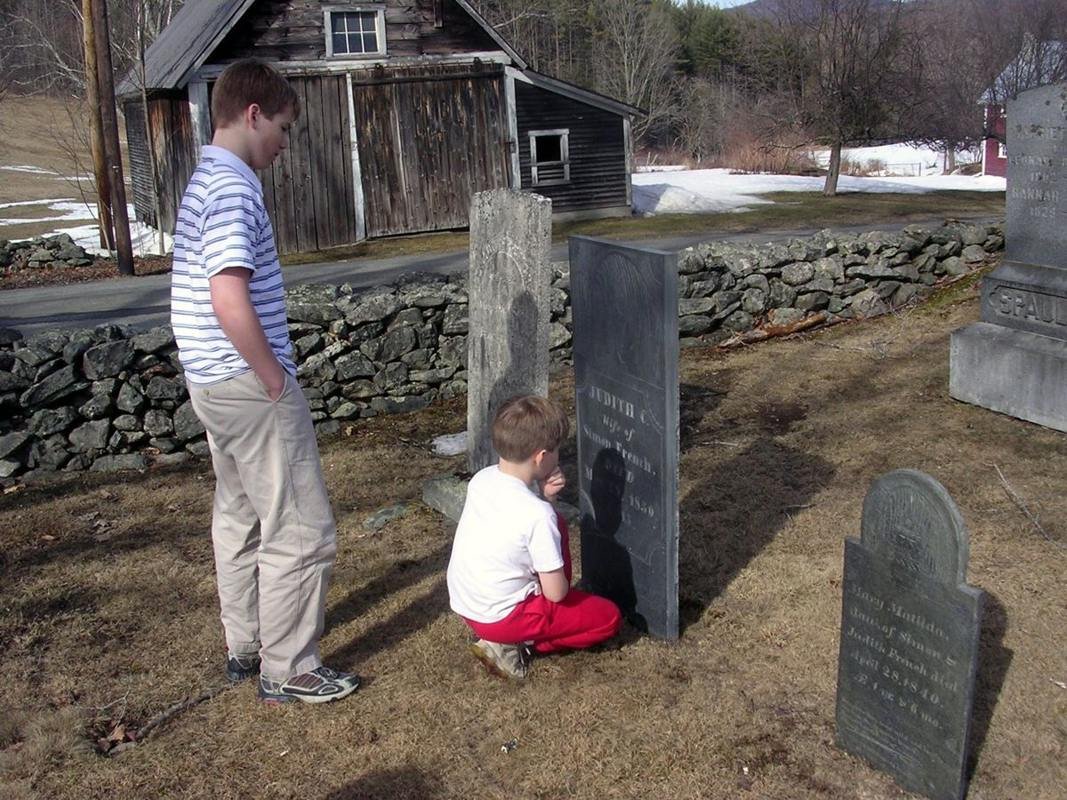
Exploring the Past - Valley Quest
Public Domain. Photo by Shelley Hadfield
Source & attribution ↗
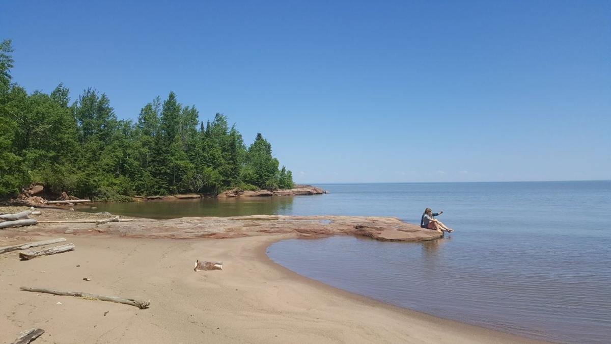
F10QuarryBeach
Public Domain. Bayfield County Tourism
Source & attribution ↗
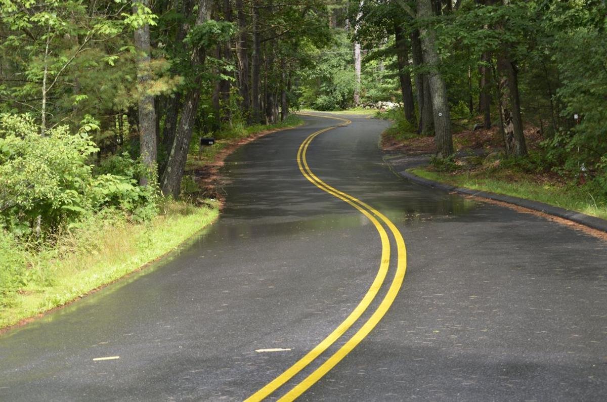
F16cBattleRoadScenicBywayAfterSummerRainShower
Public Domain. Richard Canale
Source & attribution ↗
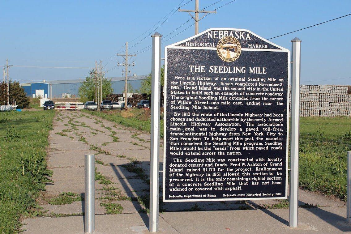
F2GrandIslandSeedlineMile
Public Domain. Nebraska Lincoln Highway Scenic and Historic Byway
Source & attribution ↗
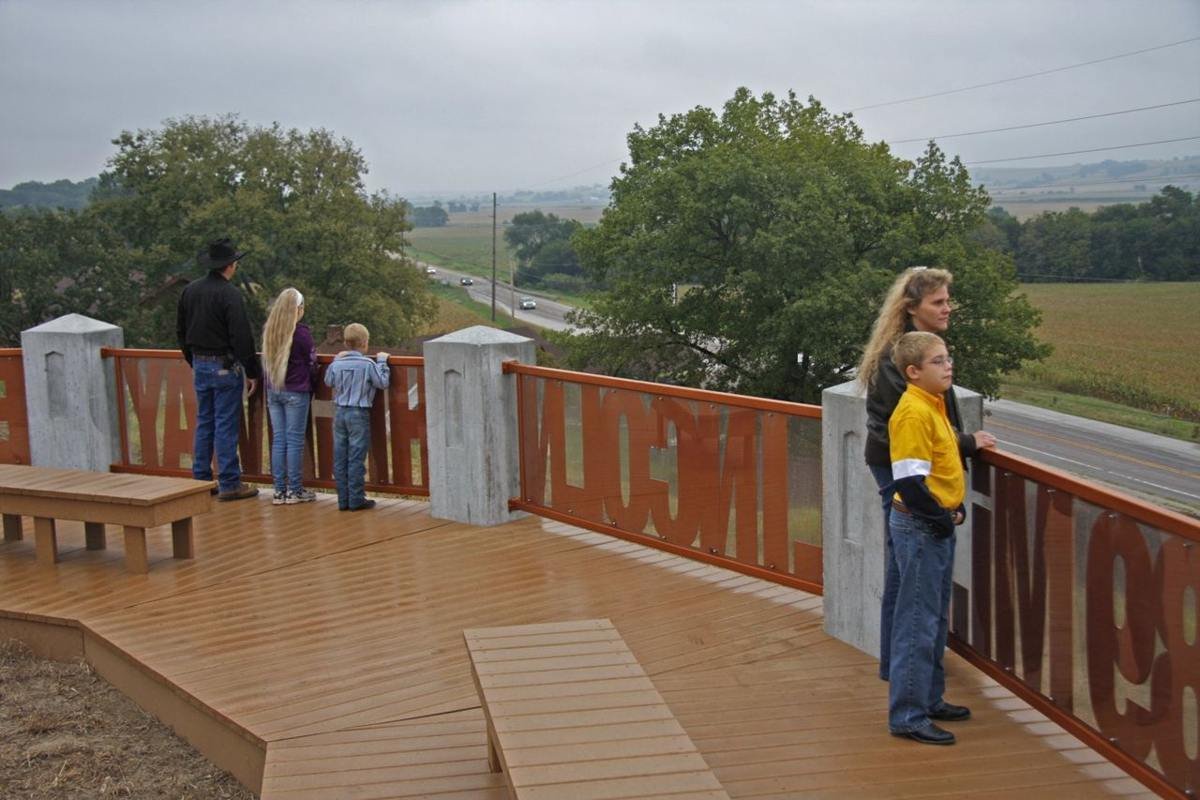
F8bLincolnHighway
Public Domain. Mike Whye
Source & attribution ↗
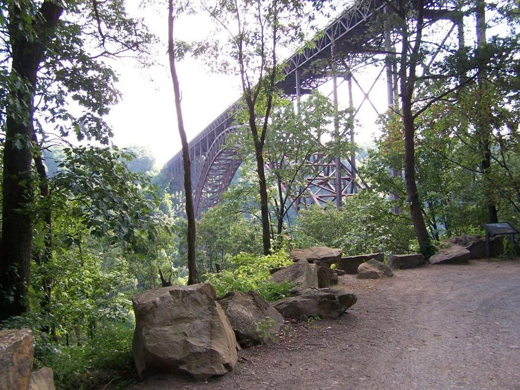
Fayette Station Road
Public Domain. Photograph by Molly Davis
Source & attribution ↗
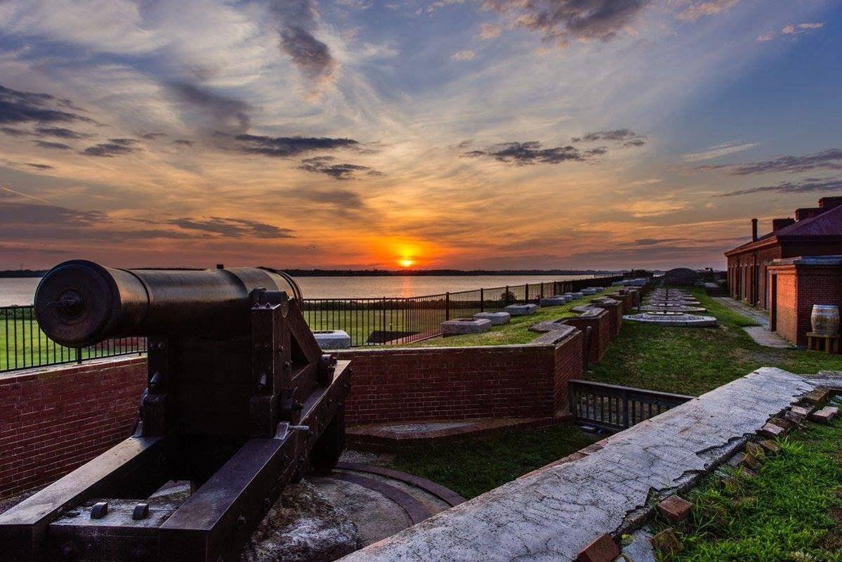
Fort Delaware Sunset
Public Domain. Delaware State Parks
Source & attribution ↗
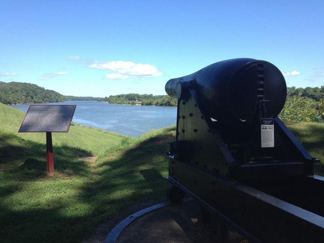
A commanding view of the Cumberland River from the Upper Artillery Battery
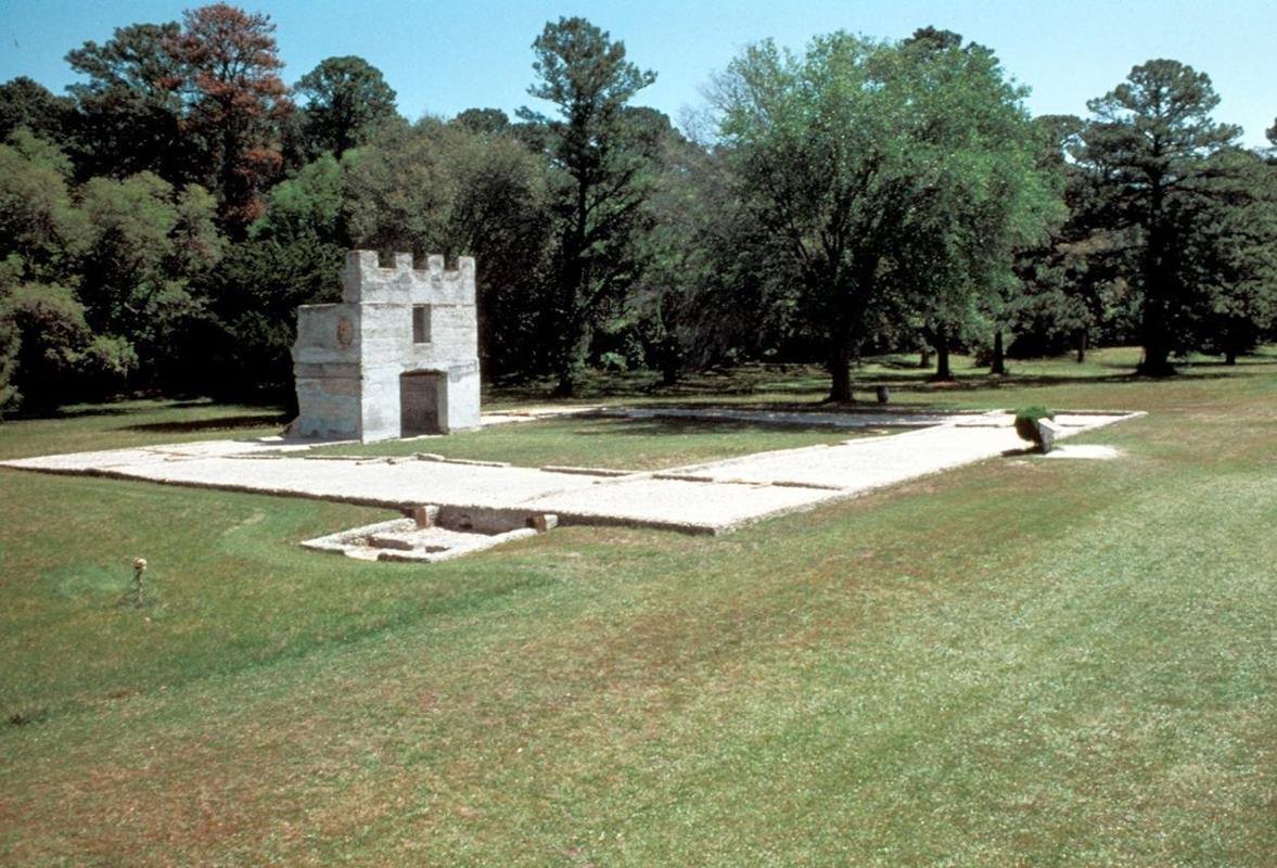
The Barracks ruin is one of the few above ground structures at Fort Frederica
NPS photo
Source & attribution ↗
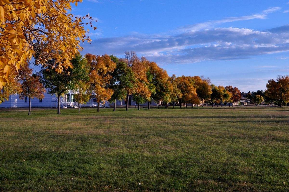
Fall colors paint the parade grounds near Old Bedlam.
NPS Photo
Source & attribution ↗
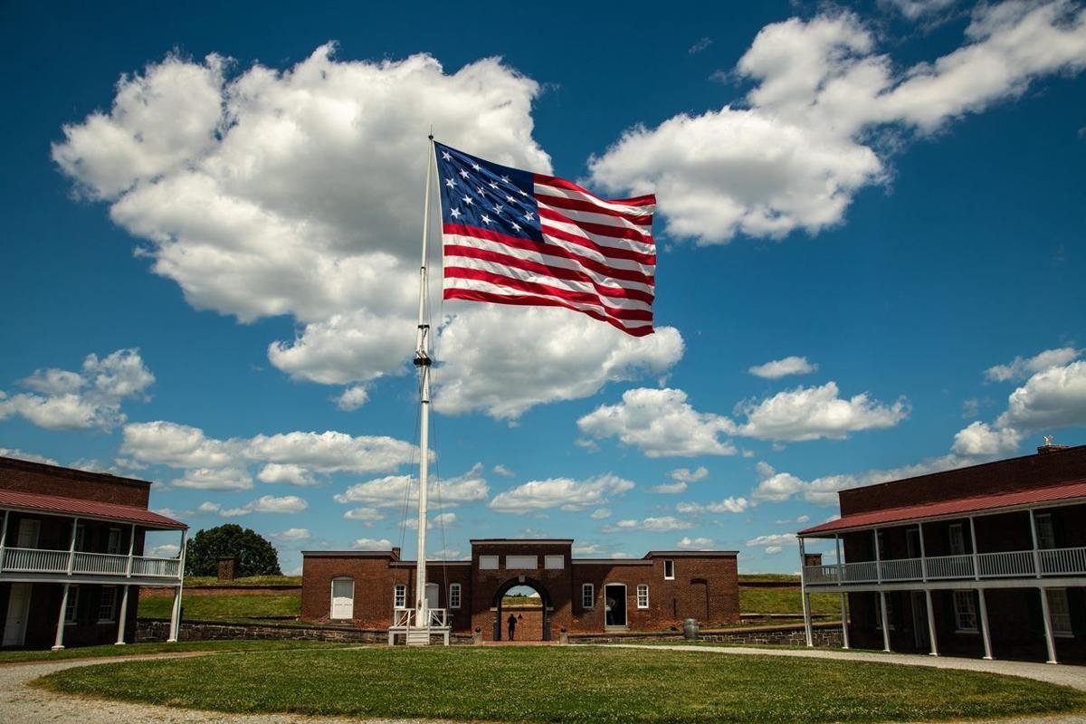
A star-spangled banner still gallantly streaming o'er the ramparts of Fort McHenry
NPS/ Tim Ervin
Source & attribution ↗
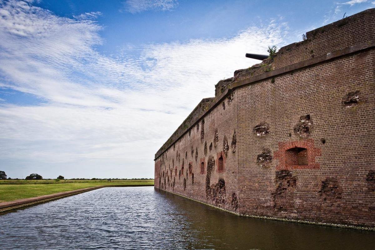
A walk along the outside of Fort Pulaski reveals damaged walls over 150 years after the Civil War.
NPS Photo / Joel Cadoff
Source & attribution ↗
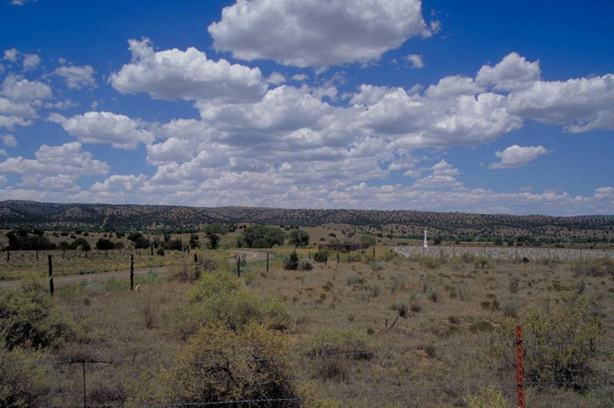
Fort Stanton Military Cemetery on Billy the Kid Scenic Byway
Public Domain. Photo by Dennis Adams of FHWA
Source & attribution ↗
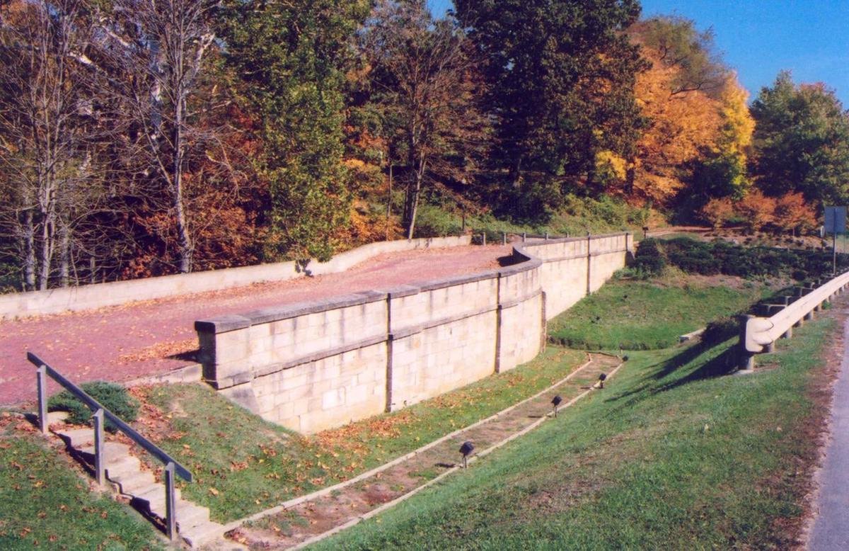
Fox Run S-Bridge
Public Domain. Photo by A. E. Crane
Source & attribution ↗
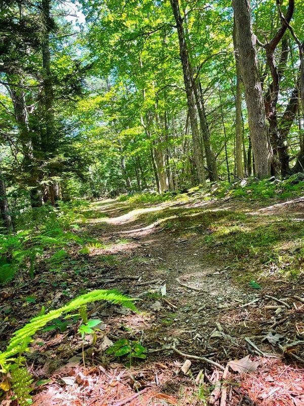
On the Homestead Trail
NPS Photo
Source & attribution ↗
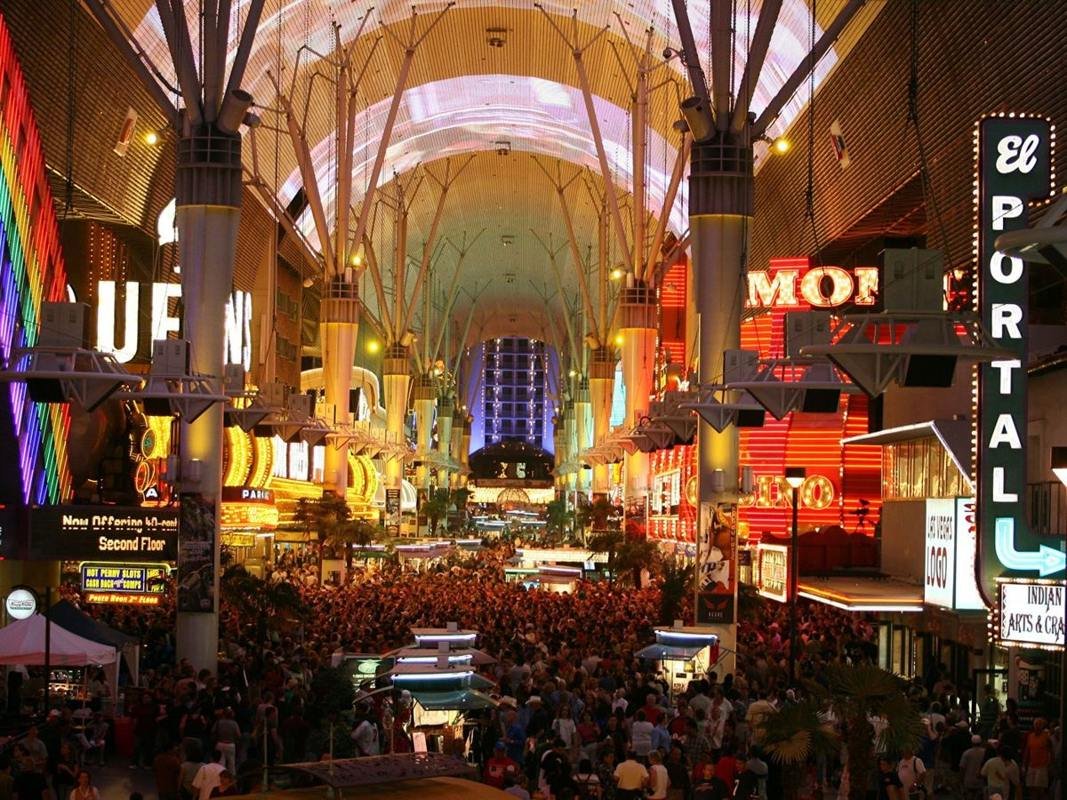
Fremont Street Experience
Public Domain.
Source & attribution ↗
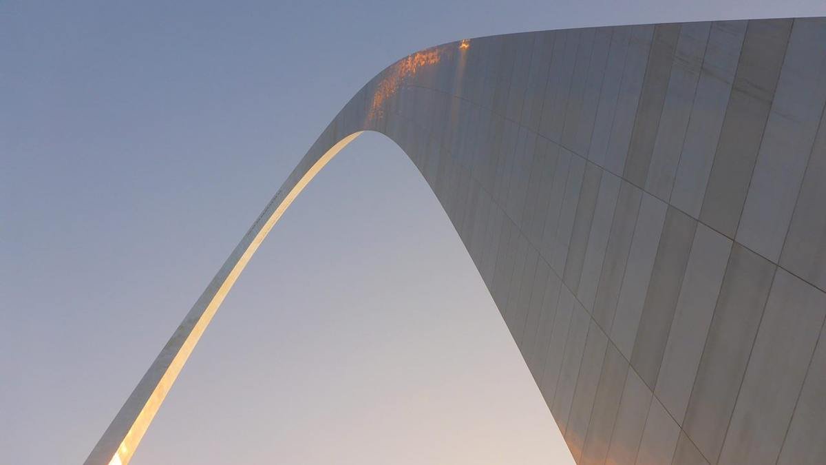
Morning Light at the Gateway Arch
NPS Photo/Sue Ford
Source & attribution ↗
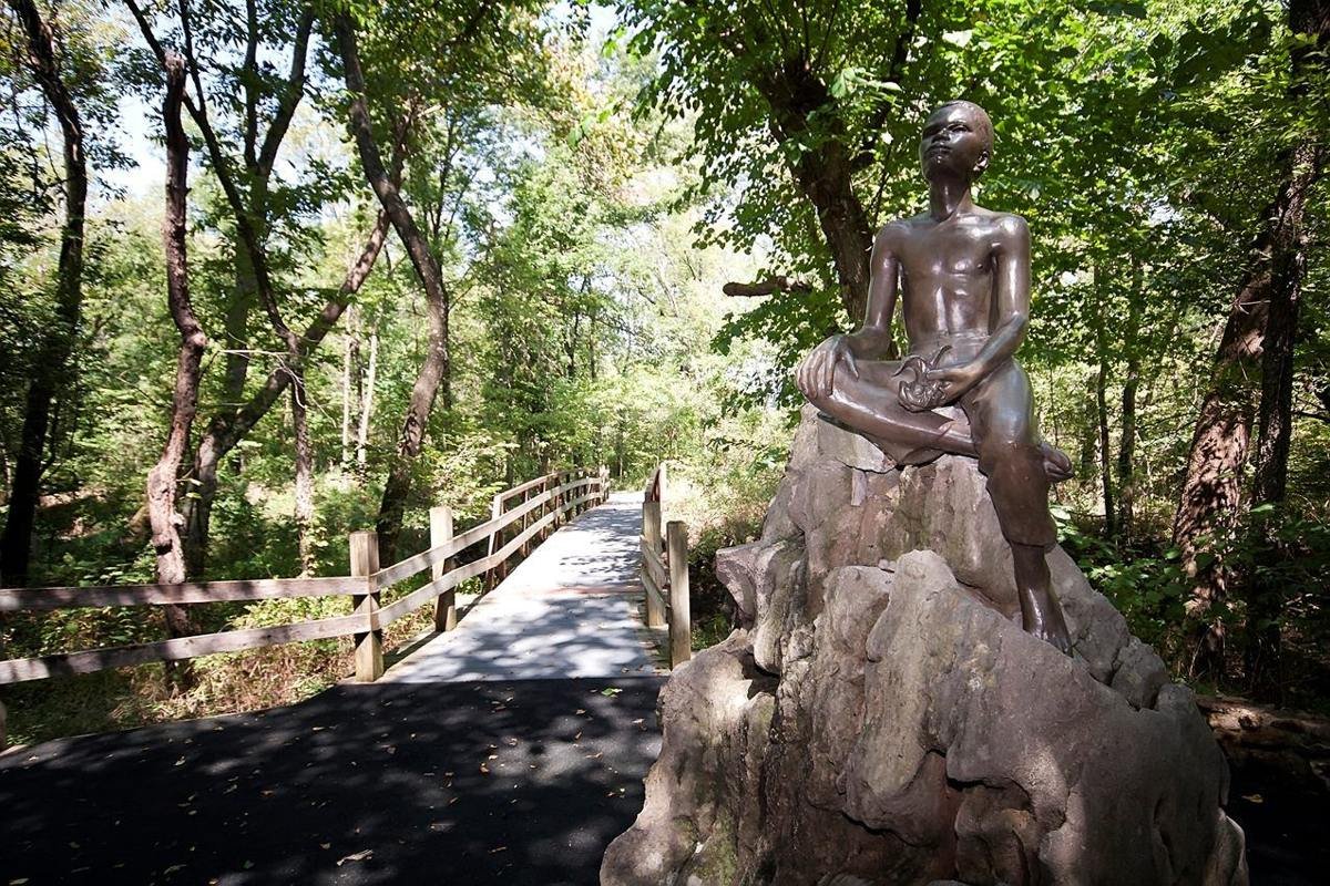
"Boy Carver Statue," sculpted by Robert Amendola in 1960.
NPS Photo
Source & attribution ↗
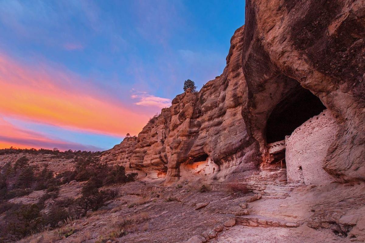
Visitors enjoy panoramic views of the canyon and dwellings at Gila Cliff Dwellings.
NPS/Janice Wei
Source & attribution ↗
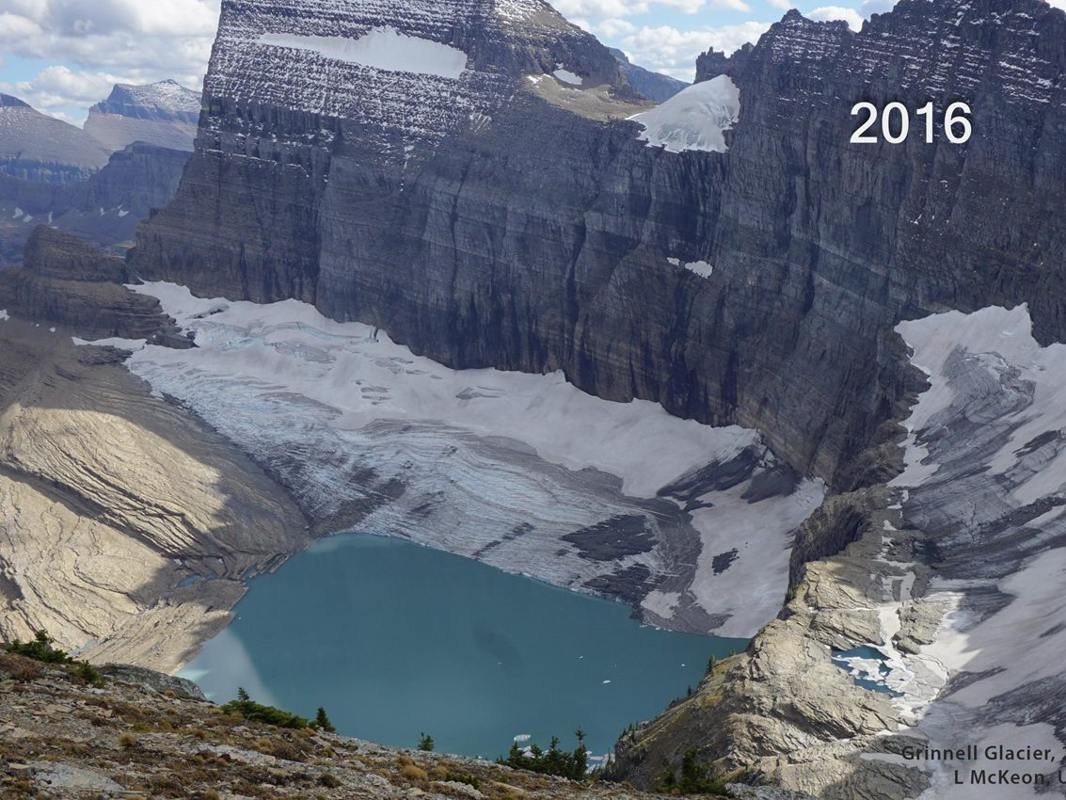
Grinnell Glacier from lower Grinnell Ridge on September 27, 2016.
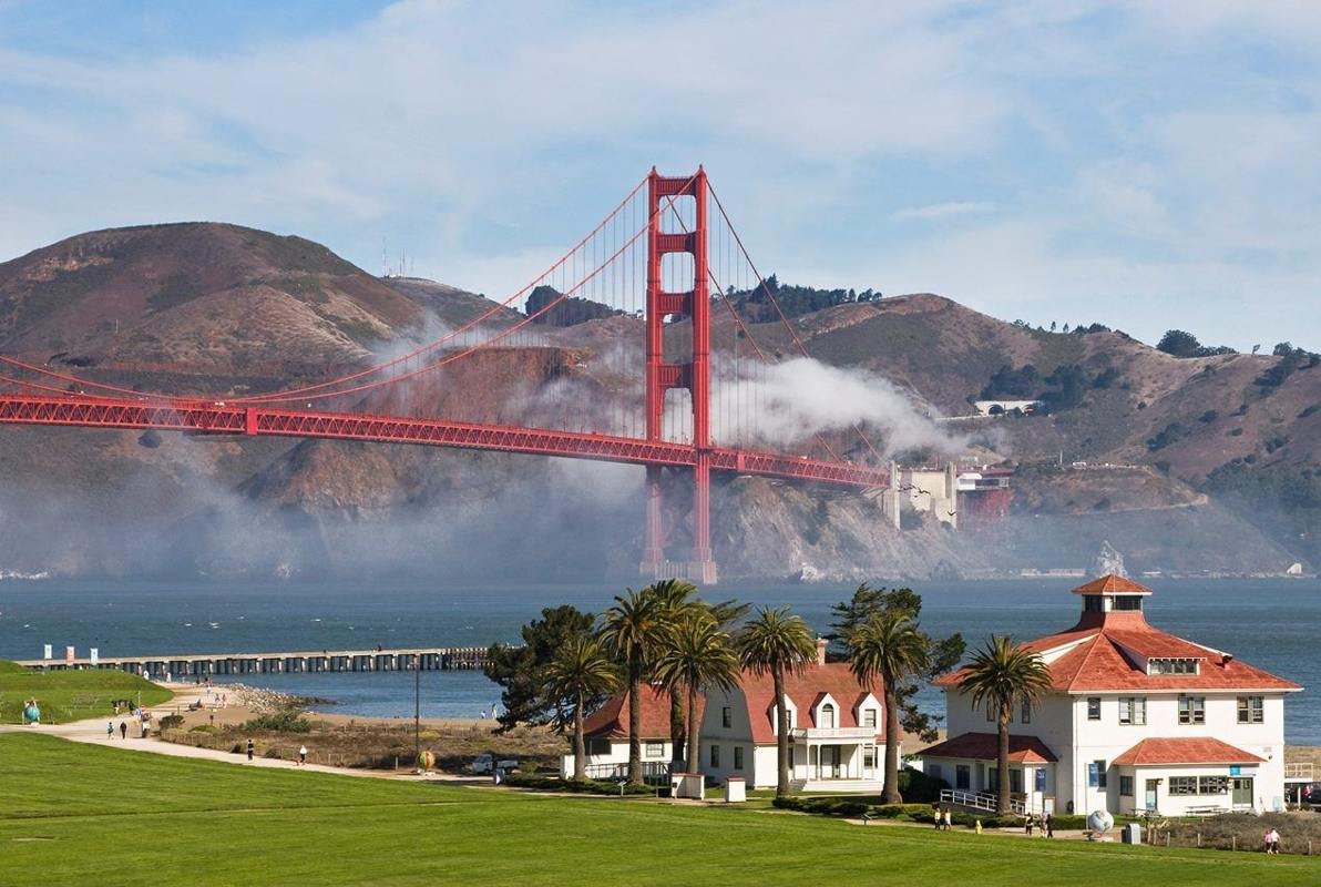
Visiting Crissy Field is an ever changing experience as the fog comes in and dissipates.
NPS photo/Will Elder
Source & attribution ↗
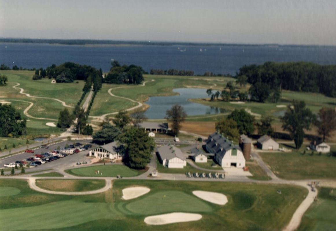
Golfing in Queenstown, MD
Public Domain. Photo by John J. Rafferty of Annandale, VA
Source & attribution ↗
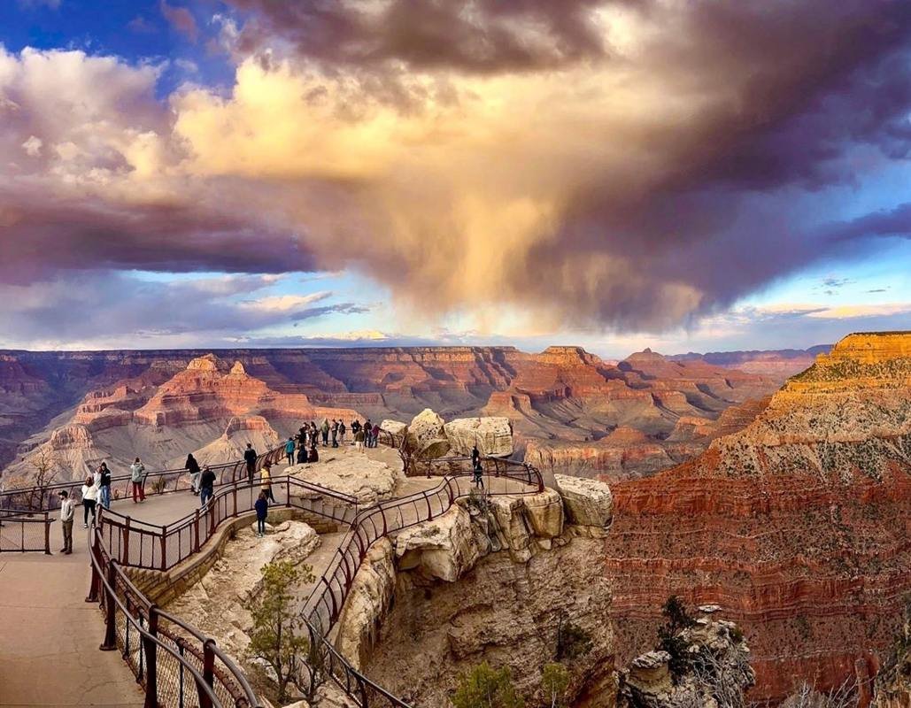
Dramatic sunset from Mather Point
NPS/M. Quinn
Source & attribution ↗
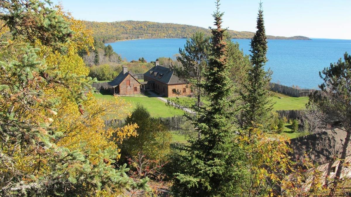
Fall is a great time to hike the Mount Rose Trail
NPS Photo
Source & attribution ↗
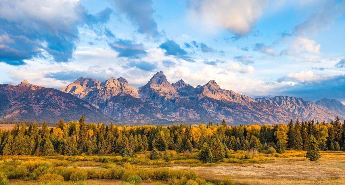
The Teton Range in the fall.
NPS Photo/Tobiason
Source & attribution ↗
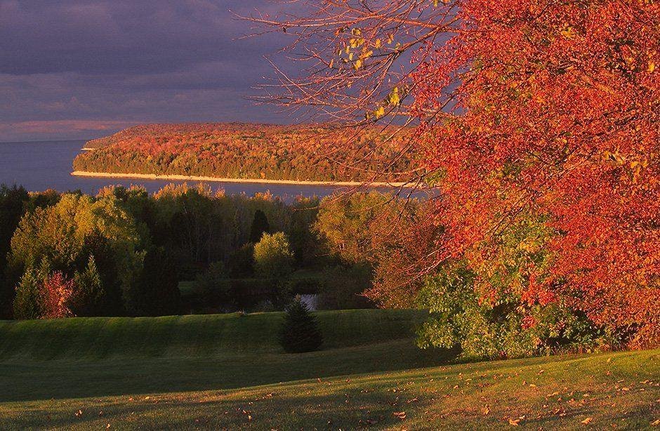
Grandview Overlook
Public Domain. Len Villano
Source & attribution ↗
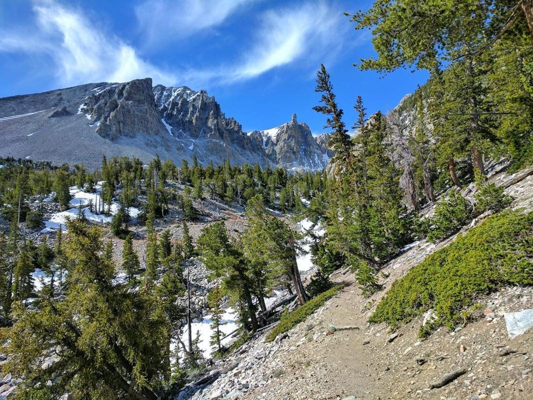
Trail to ancient bristlecone pine trees.
NPS Photo
Source & attribution ↗
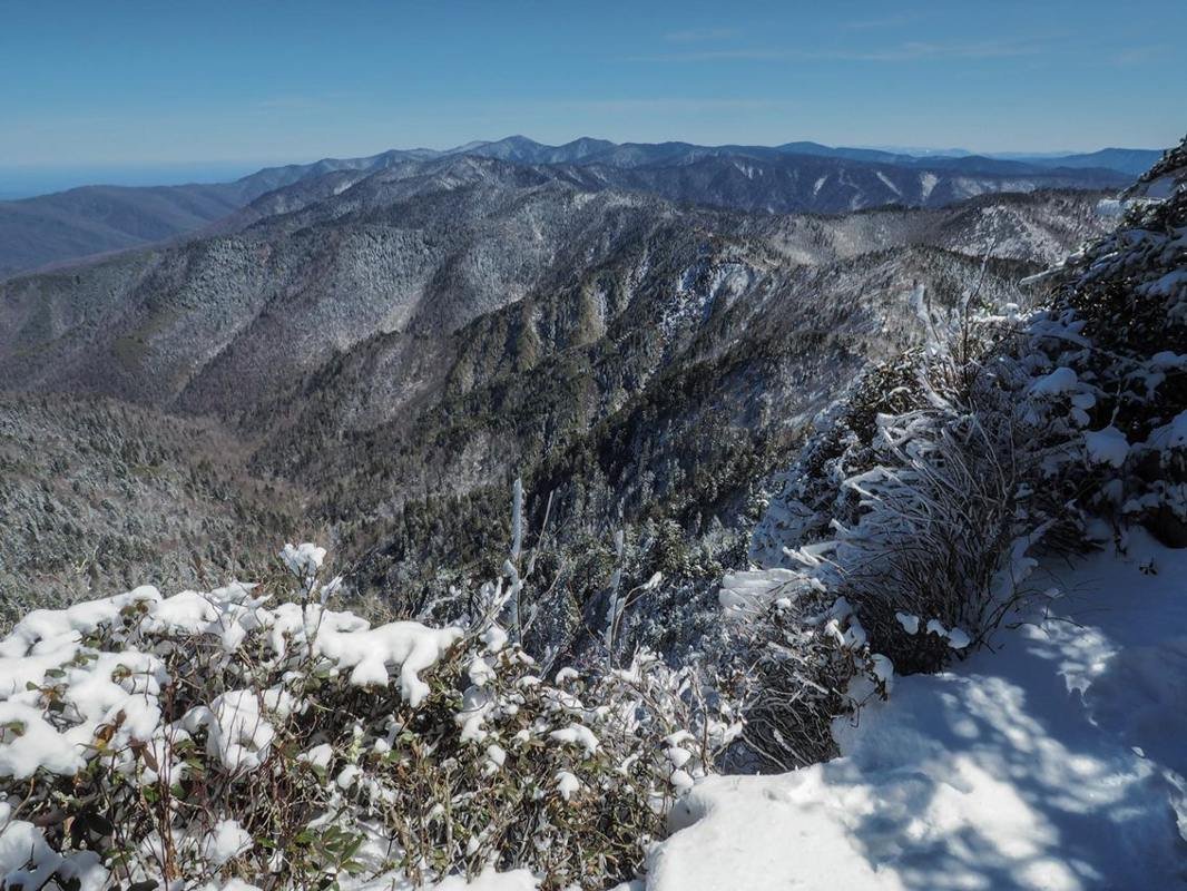
The Smokies receives snow periodically throughout the winter, mostly at higher elevations.
NPS / Bob Carr
Source & attribution ↗
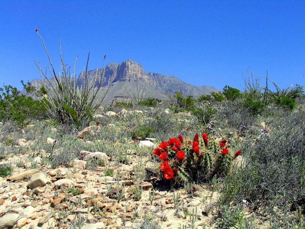
Blossoming claret cup cacti add a splash of color to the Chihuahuan desert.
NPS/Bieri
Source & attribution ↗
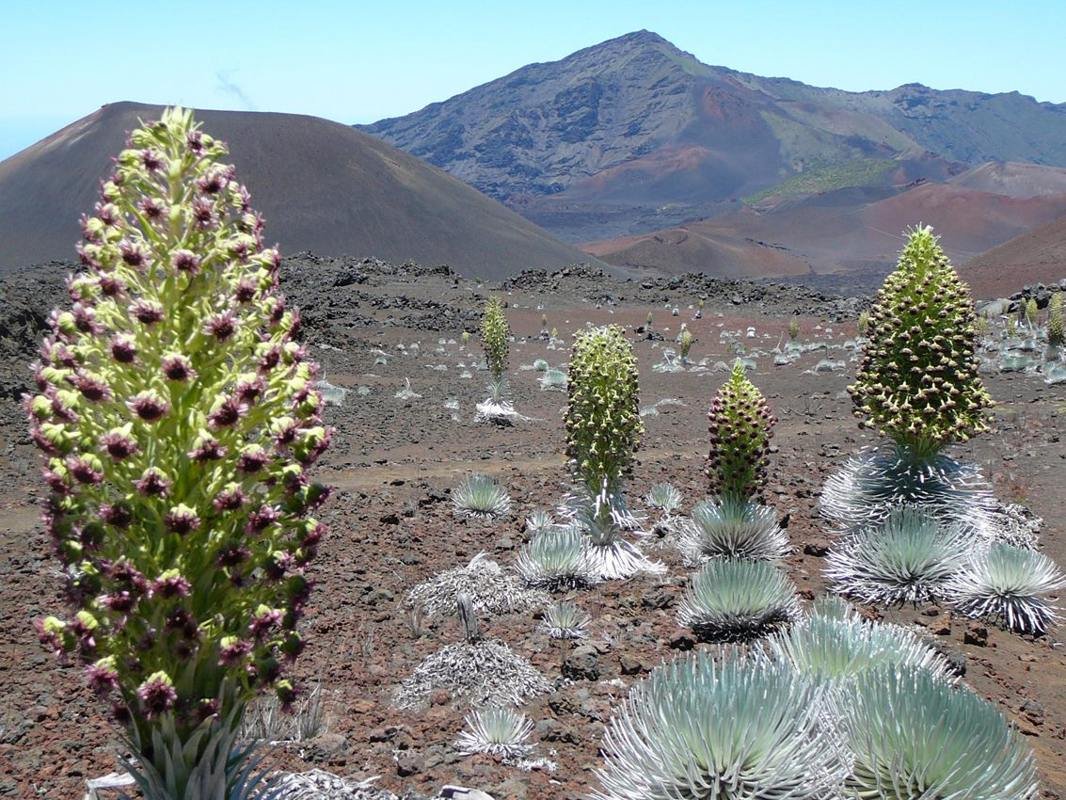
'Ahinahina silversword blooms in Haleakala crater
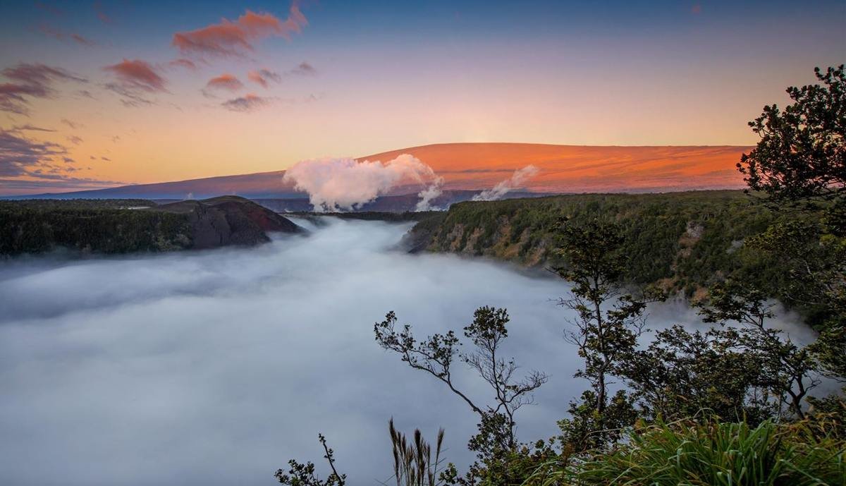
Sunrise at Kīlauea Iki
NPS Photo/J. Wei
Source & attribution ↗
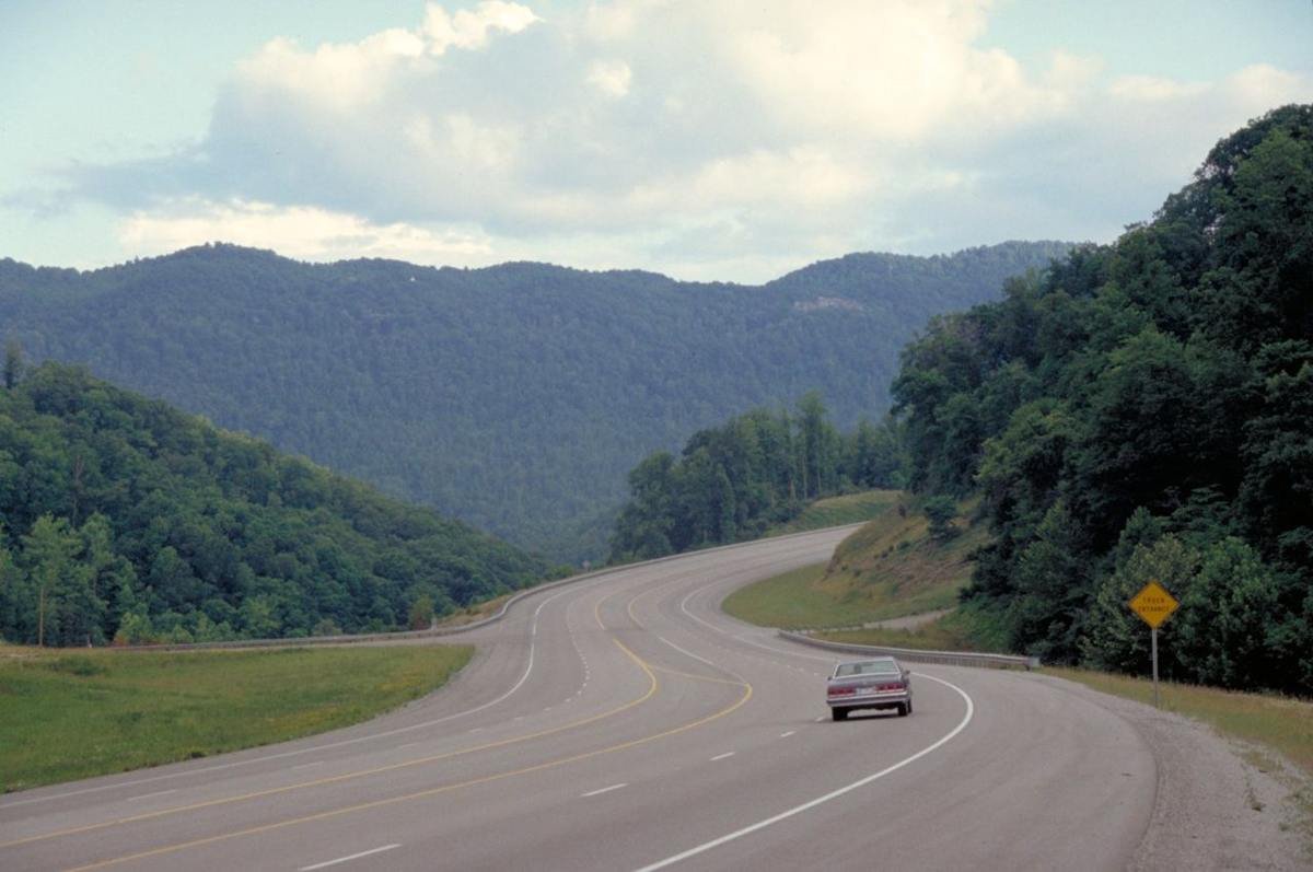
Highway 23 near Pikeville Looking South
Public Domain. Photo by Dennis Adams
Source & attribution ↗
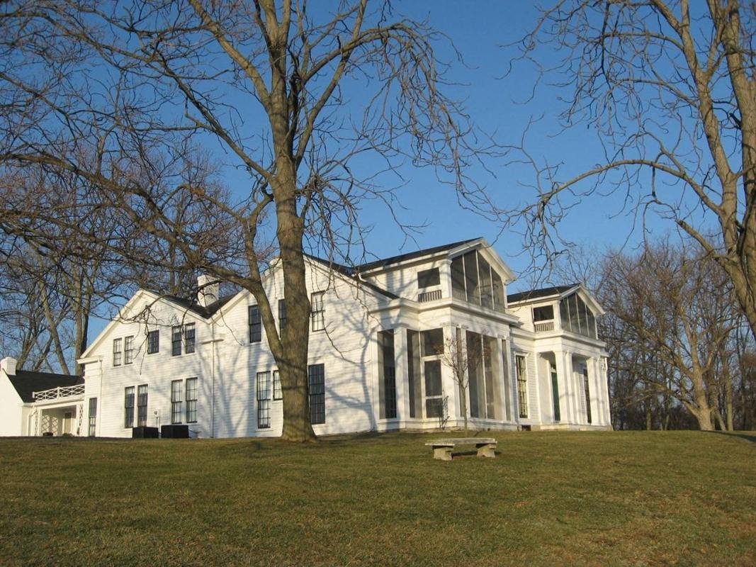
Historic Home Veraestau
Public Domain. Photograph by Historic Landmarks Foundation of Indiana
Source & attribution ↗
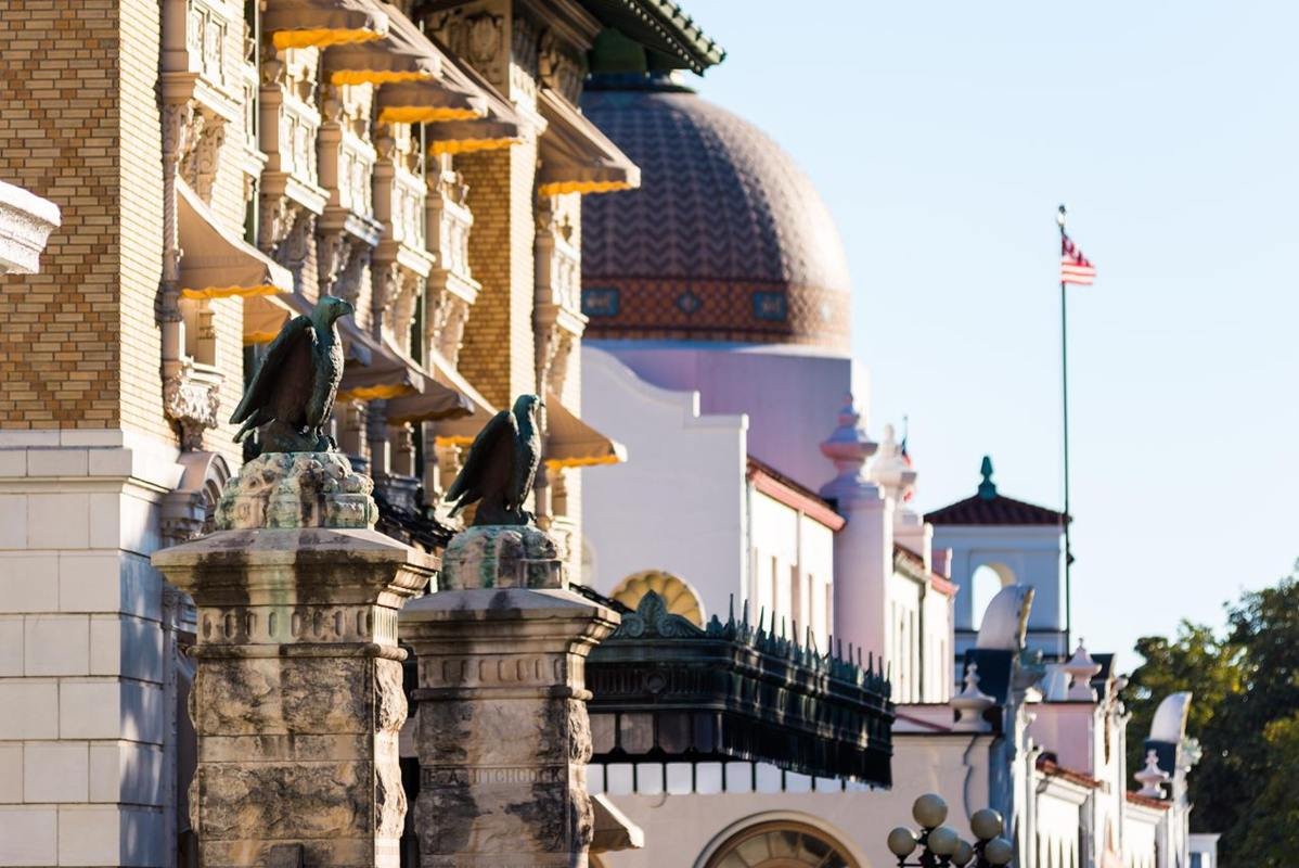
Visitors and patients come to take the thermal waters
NPS photo
Source & attribution ↗
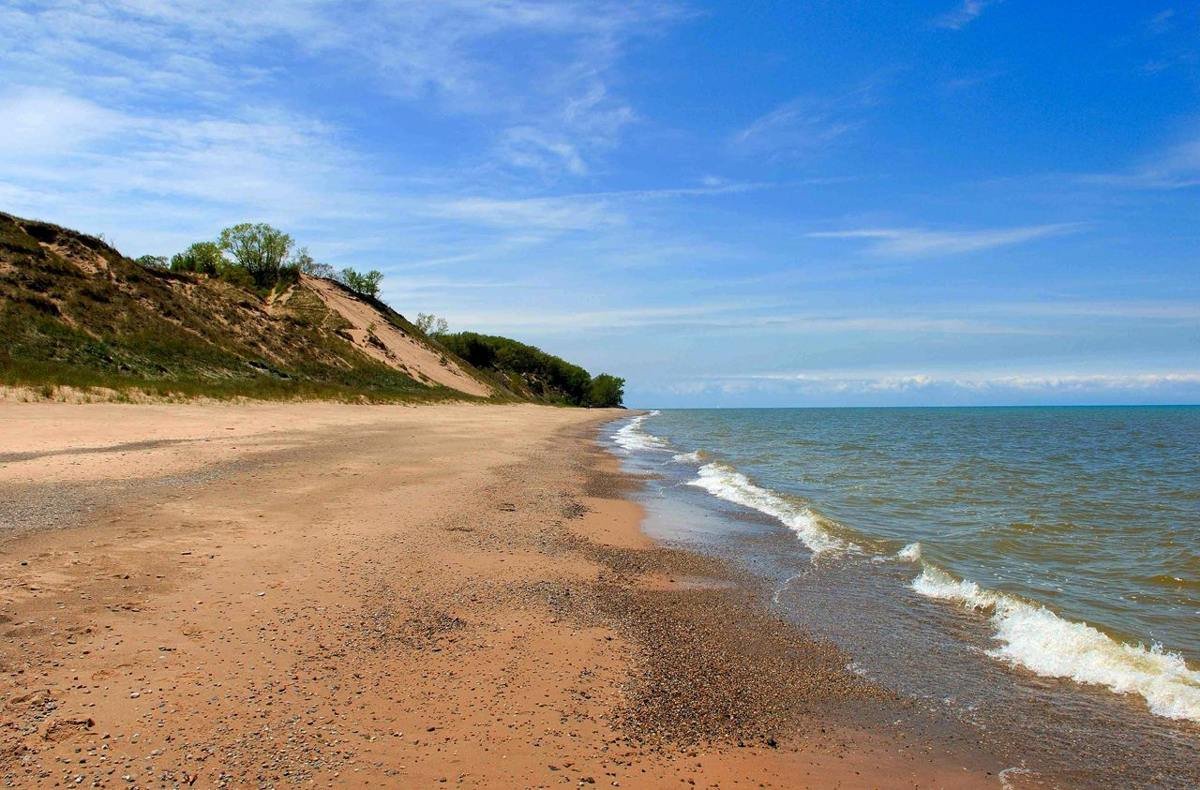
Central Avenue Beach at low water levels, spring 2006.
NPS Photo
Source & attribution ↗
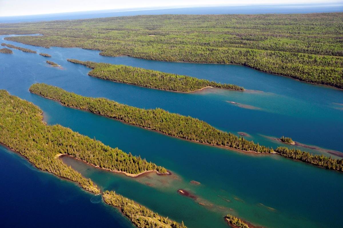
Isle Royale is also called Minong, which means "the good place" by the Grand Portage Band of Lake Superior Chippewa. Minong is a part of the ancestral lands of the Anishinaabe/Ojibwe peoples who have cared for these lands from time immemorial.
NPS Photo / Paul Brown
Source & attribution ↗
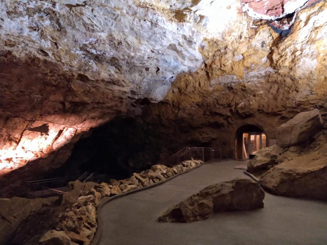
The target room inside Jewel Cave.
NPS Staff Photo
Source & attribution ↗
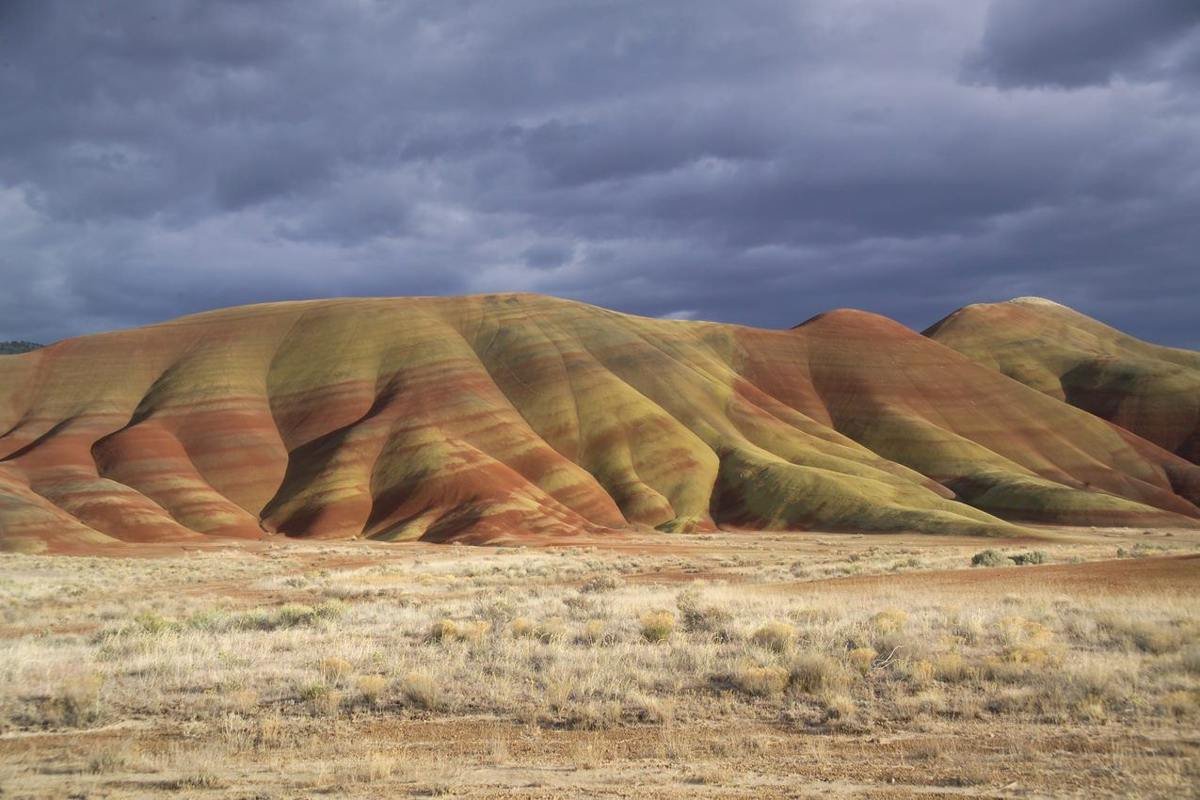
The Painted Hills on a stormy winter day.
NPS Photo / Scott Ritner
Source & attribution ↗
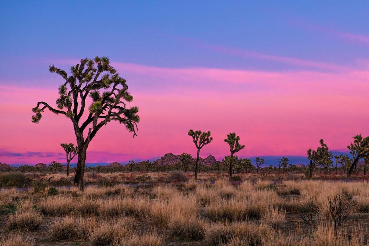
Quail Springs area at sunset
NPS / Emily Hassell
Source & attribution ↗
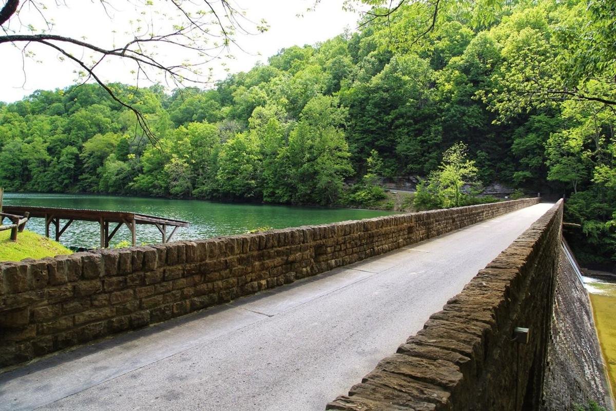
Lake & Bridge
Public Domain. Tennessee Department of Transportation
Source & attribution ↗
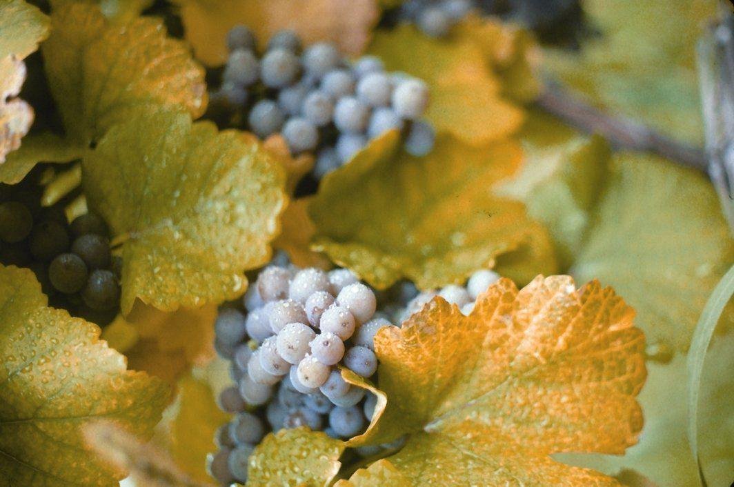
Lake Erie's Grapes
Public Domain.
Source & attribution ↗
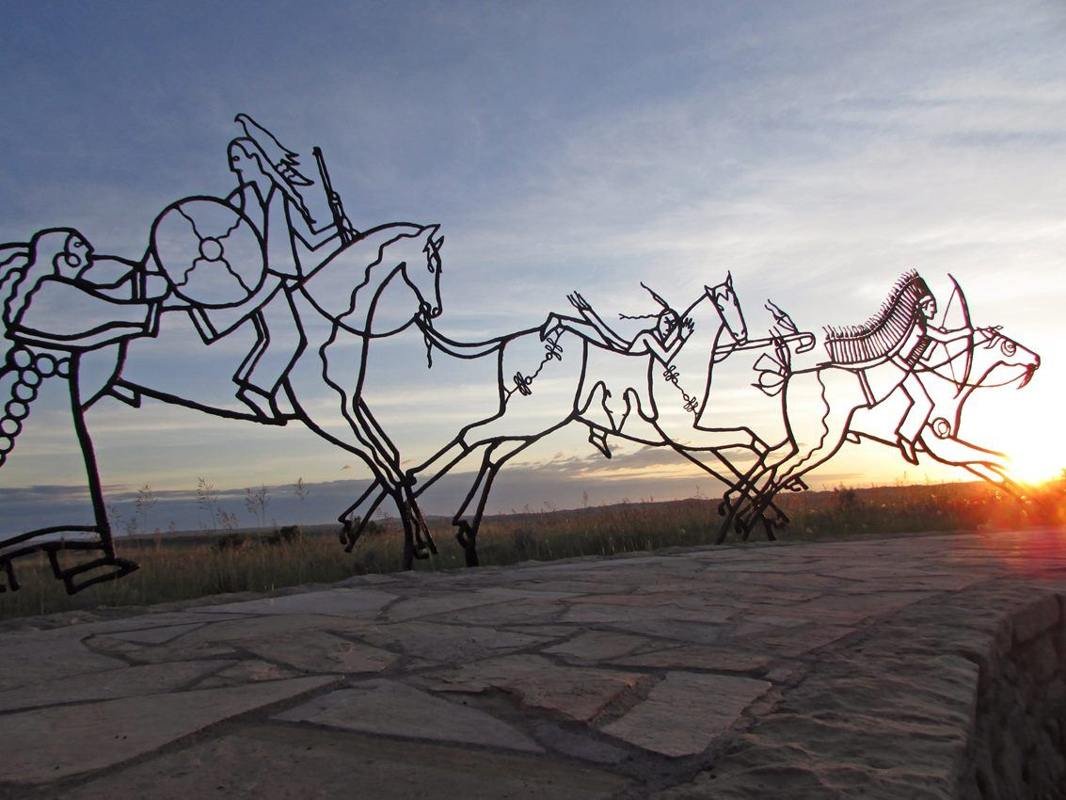
The Indian Memorial is a circular earthwork carved gently into the prairie. The walls carry the names of those who fell here as well as the words of some who fought in the battle.
NPS photo
Source & attribution ↗
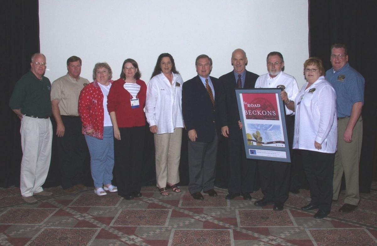
Louisiana's Creole Nature Trail
Public Domain.
Source & attribution ↗
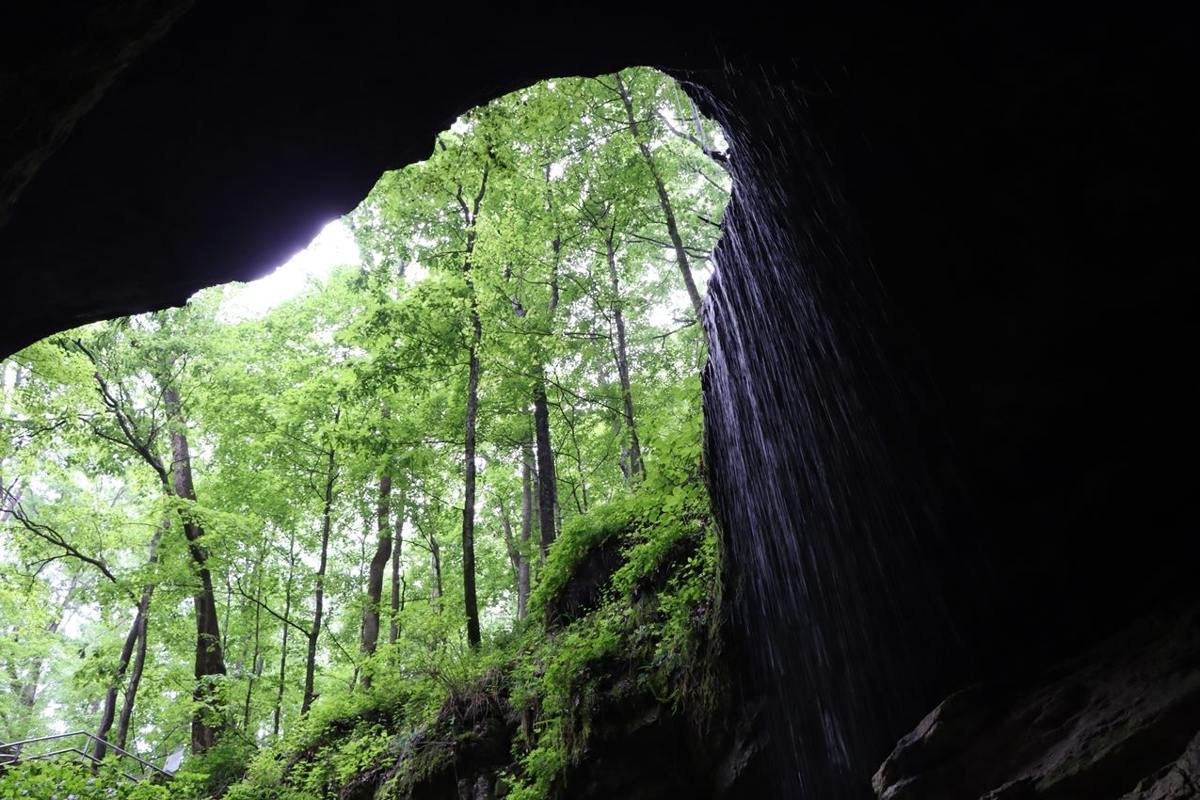
Two worlds, one aboveground and the other below, collide at the largest natural entrance to Mammoth Cave.
NPS Photo / J. Cooper
Source & attribution ↗
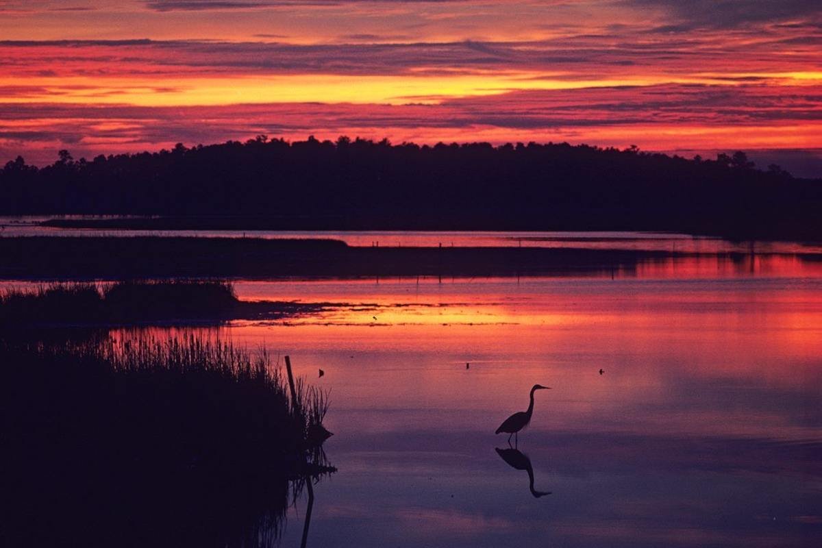
Many people visit Blackwater National Wildlife Refuge to spot birds, like this heron, that rely the natural resources of the landscape.
NPS Photo / Middleton Evans · Public domain, NPS
Source & attribution ↗
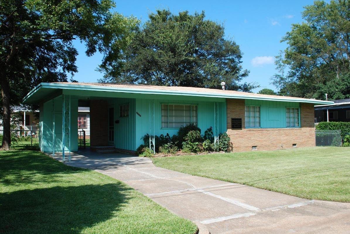
Medgar and Myrlie Evers Home National Monument
NPS Photo
Source & attribution ↗
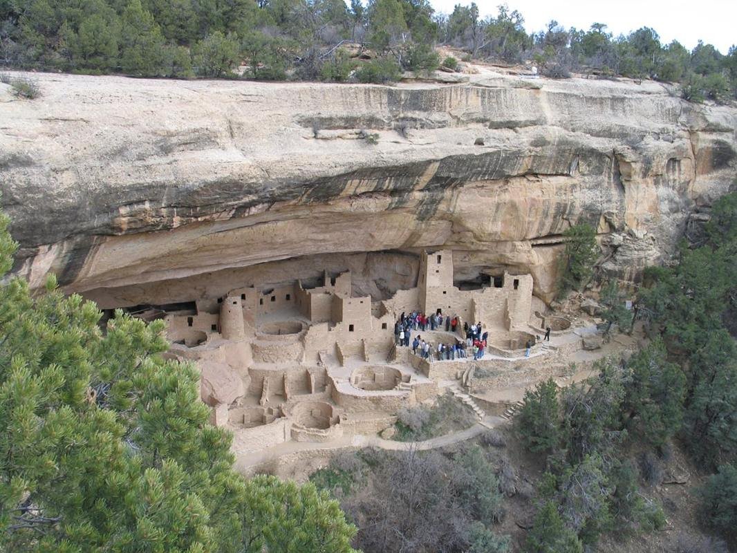
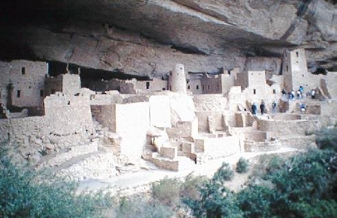
Cliff Palace, Mesa Verde's Largest Cliff Dwelling
NPS Photo
Source & attribution ↗
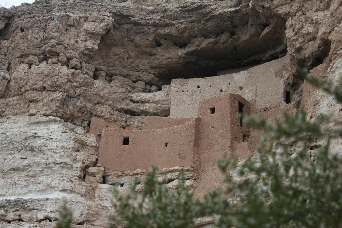
Montezuma Castle was built in an alcove about 90 feet up a cliff. This protects the dwelling from flooding.
NPS Photo/Sharlot Hart
Source & attribution ↗
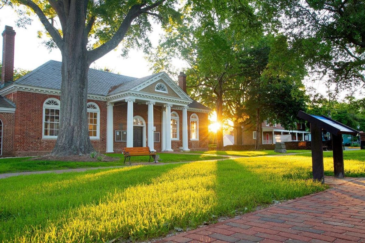
Morning light shines across Gloucester Courthouse in Gloucester, Virginia. During the 1781 Yorktown campaign, allied operations extended into Gloucester County, including the movement of Lauzun’s Legion across the York River from Yorktown.
NPS Photo · Public domain, NPS
Source & attribution ↗
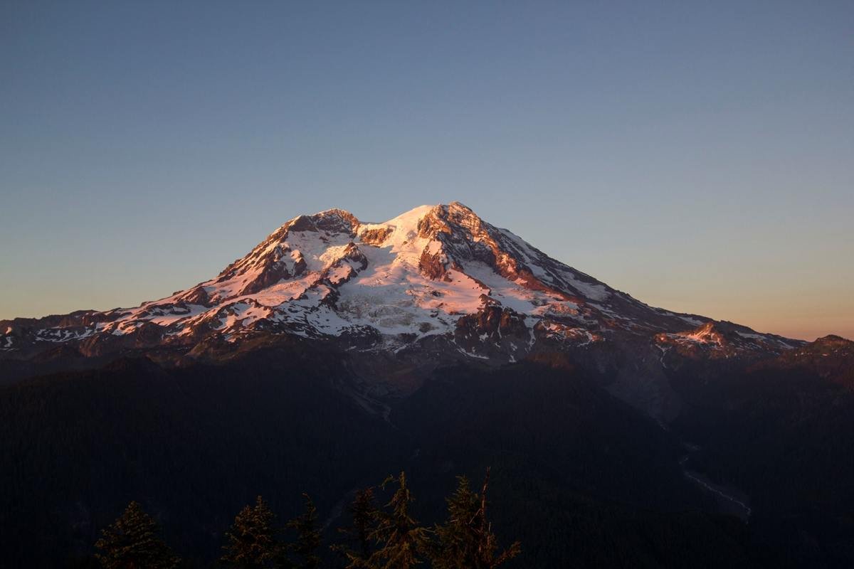
Mount Rainier at sunset from Gobblers Knob Lookout.
NPS Photo / Emily Brouwer
Source & attribution ↗
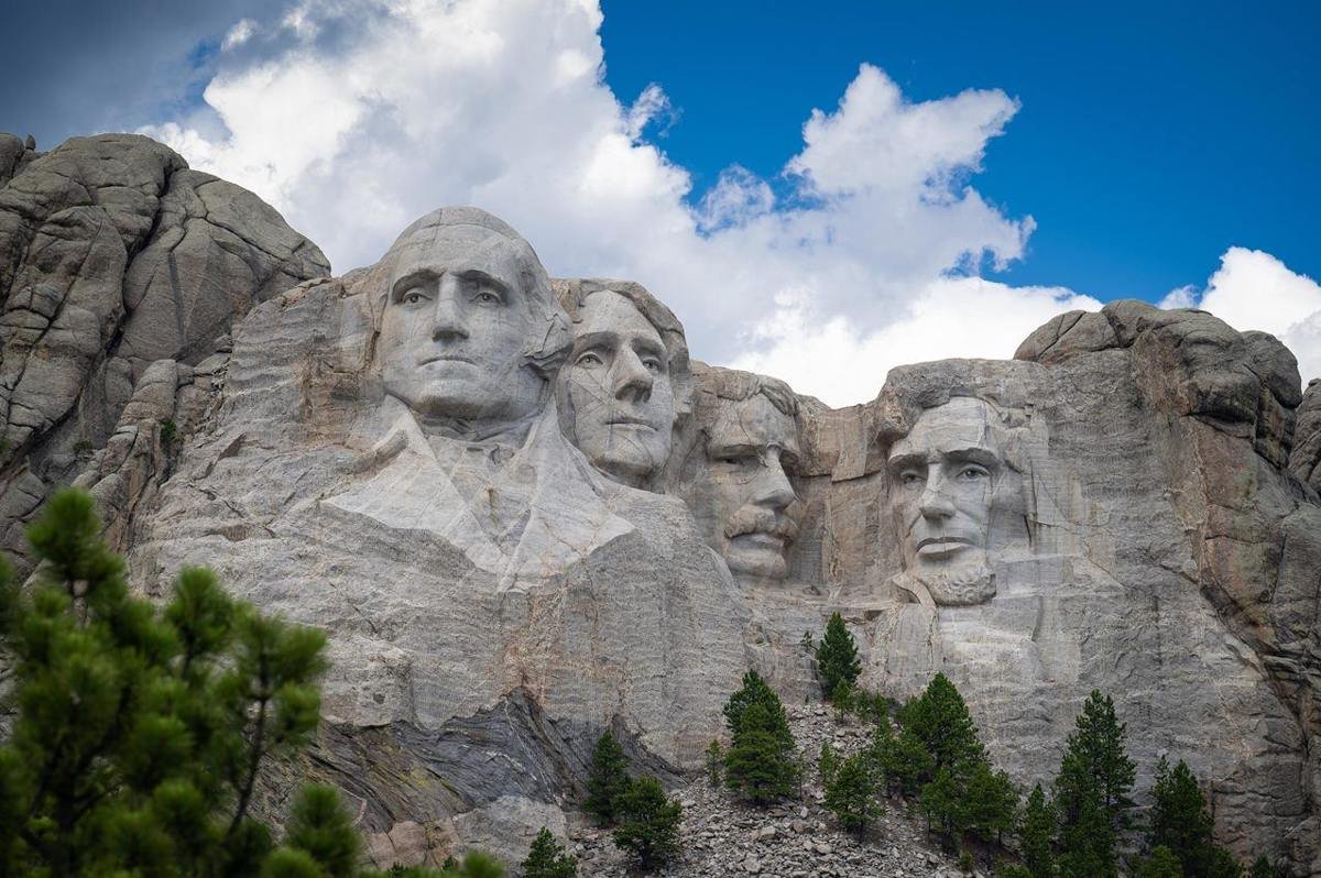
Photo of Mount Rushmore under a bright blue sky with puffy clouds floating over.
NPS Photo
Source & attribution ↗
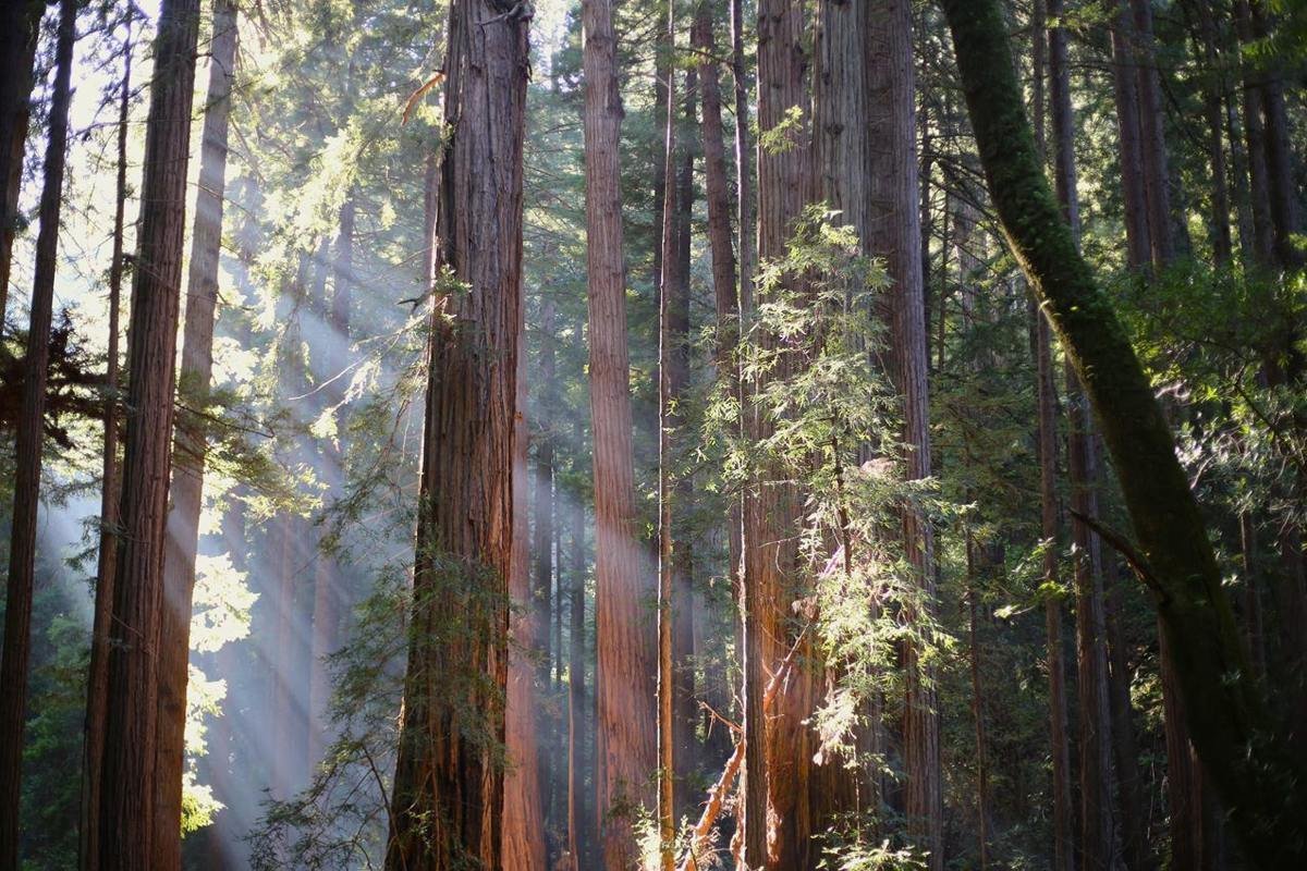
This 550-acre park protects an old-growth forest of coast redwoods (Sequoia sempervirens), the tallest type of tree in the world. Named for famed American naturalist John Muir, the National Monument occupies the homelands of the Coast Miwok people.
NPS/ Jace Ritchey
Source & attribution ↗
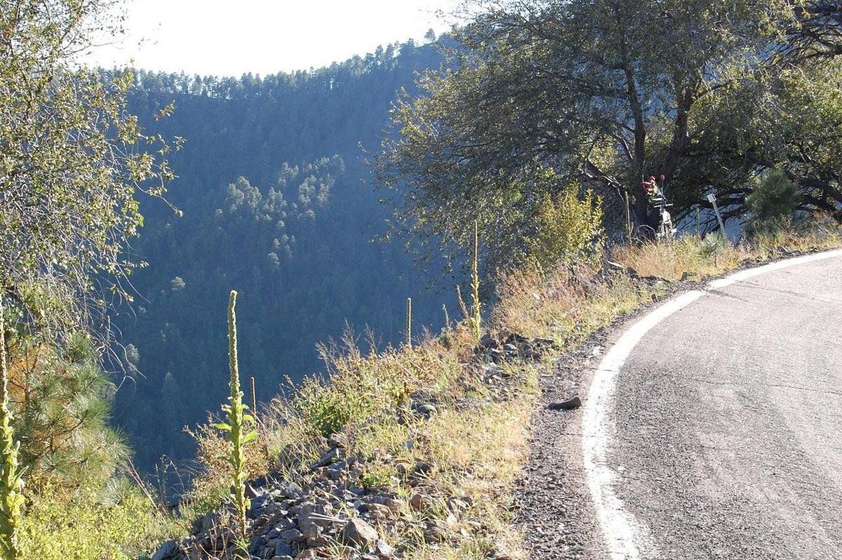
Narrow Shoulder on Coronado Trail Scenic Byway
Public Domain. Photo by Brent Mazur
Source & attribution ↗
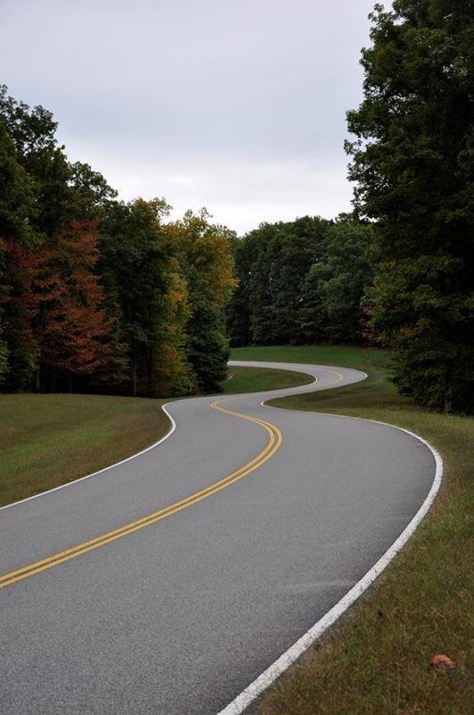
The Natchez Trace Parkway commemorates a historic travel route that helped build the young United States. The Parkway 444 miles, with plenty of stops to allow you to explore some of the history or enjoy the scenery along the way.
NPS Photo
Source & attribution ↗
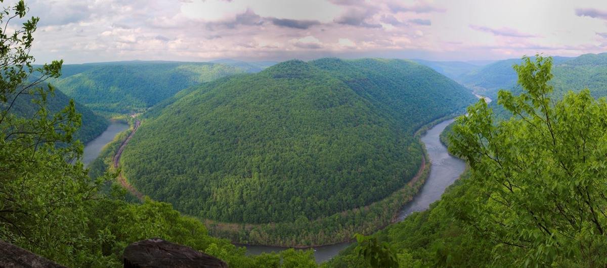
The Horseshoe Bend in the New River from Grandview
NPS photo/Louise McLaughlin
Source & attribution ↗
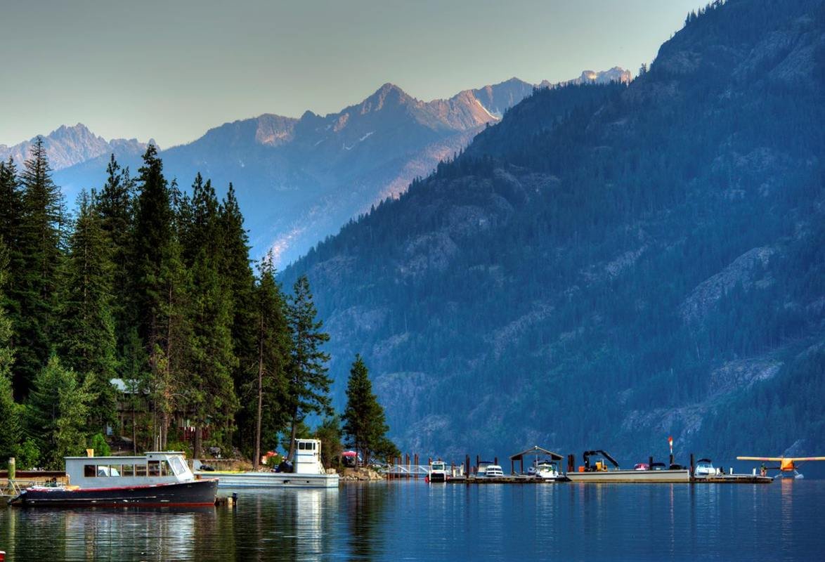
Stehekin sits at the top of Lake Chelan, welcoming visitors to take a life at a slower pace.
NPS Photo/D.Dixon
Source & attribution ↗
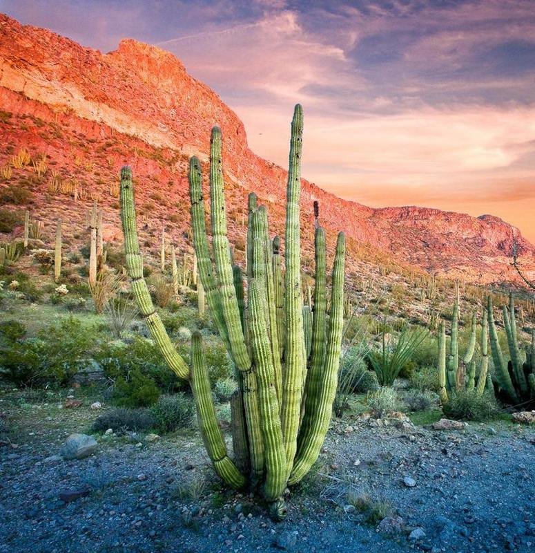
Visit the only place in the U.S. where you can see large stands of organ pipe cacti.
NPS Photo/ Craig Stocks
Source & attribution ↗
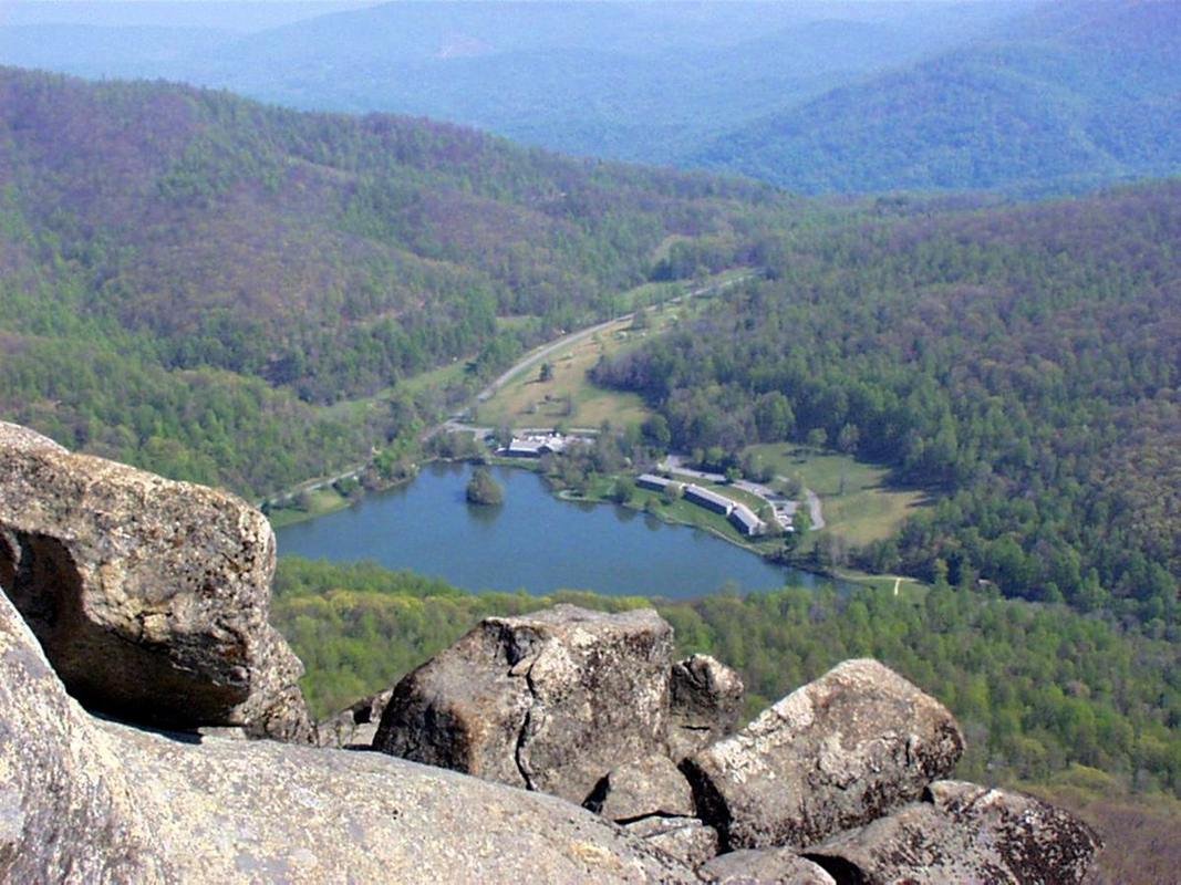
Peaks of Otter
Public Domain. Photo by Gary Johnson
Source & attribution ↗
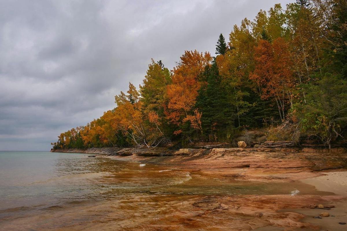
Miners Beach and Elliot Falls on an autumn day
NPS Photo
Source & attribution ↗
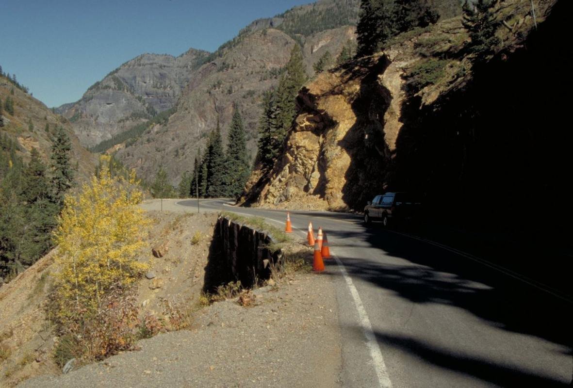
Road Damage on the San Juan Skyway
Public Domain. Photo by Dennis Adams
Source & attribution ↗
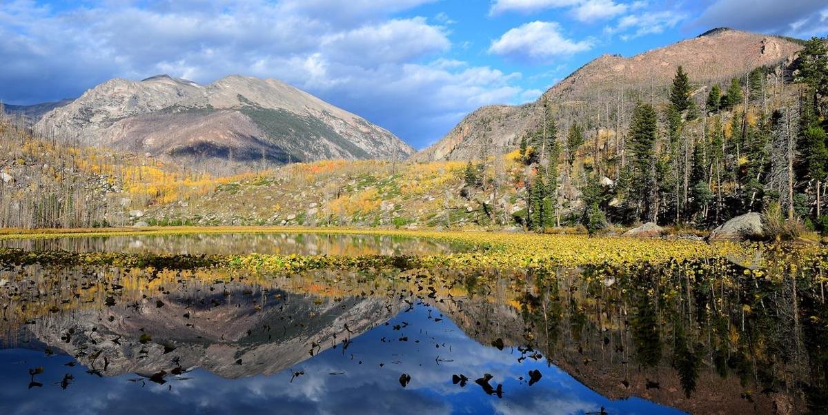
Cub Lake in fall
NPS/J.Marino
Source & attribution ↗
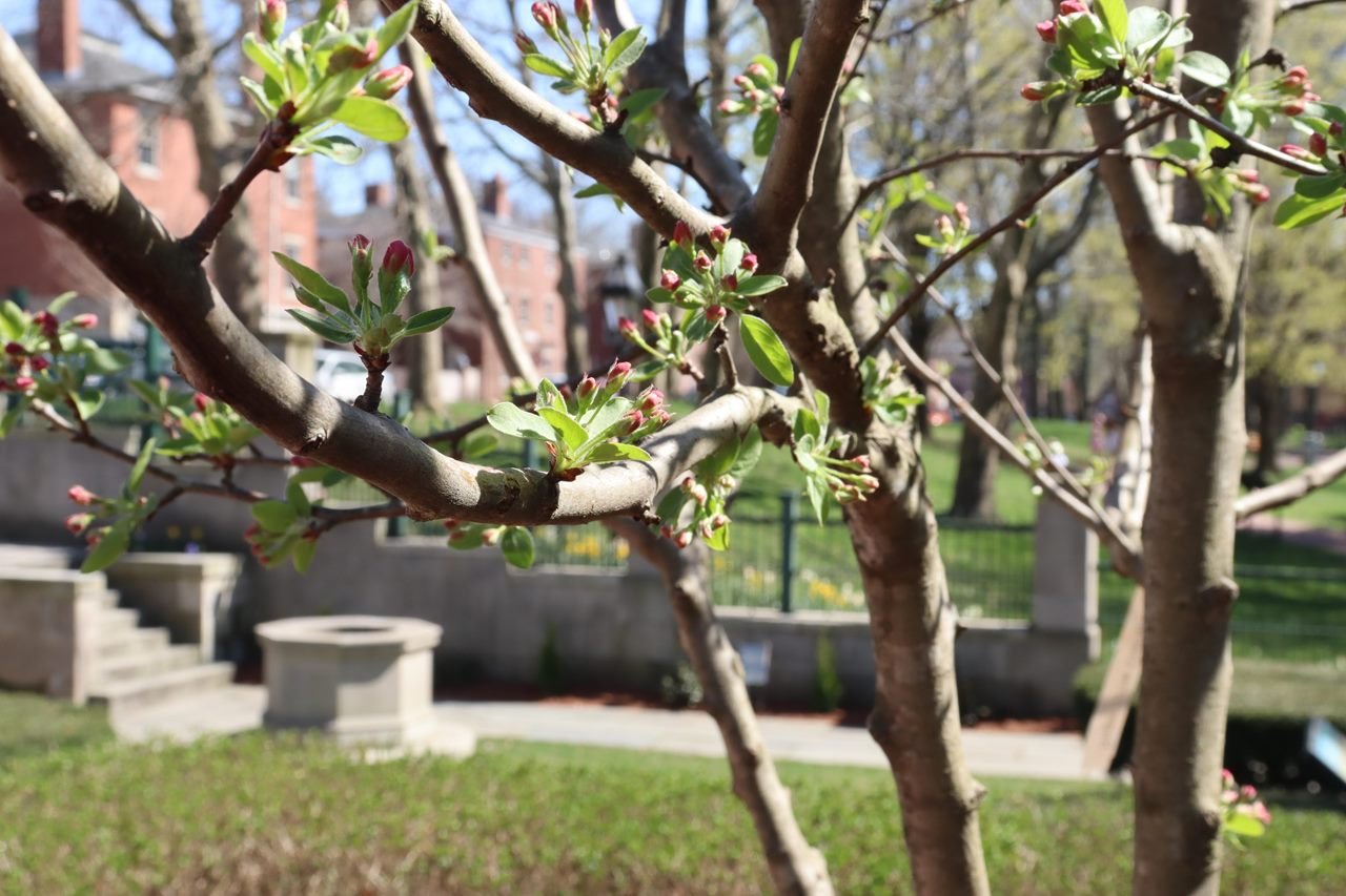
Roger Williams NM
NPS photo
Source & attribution ↗
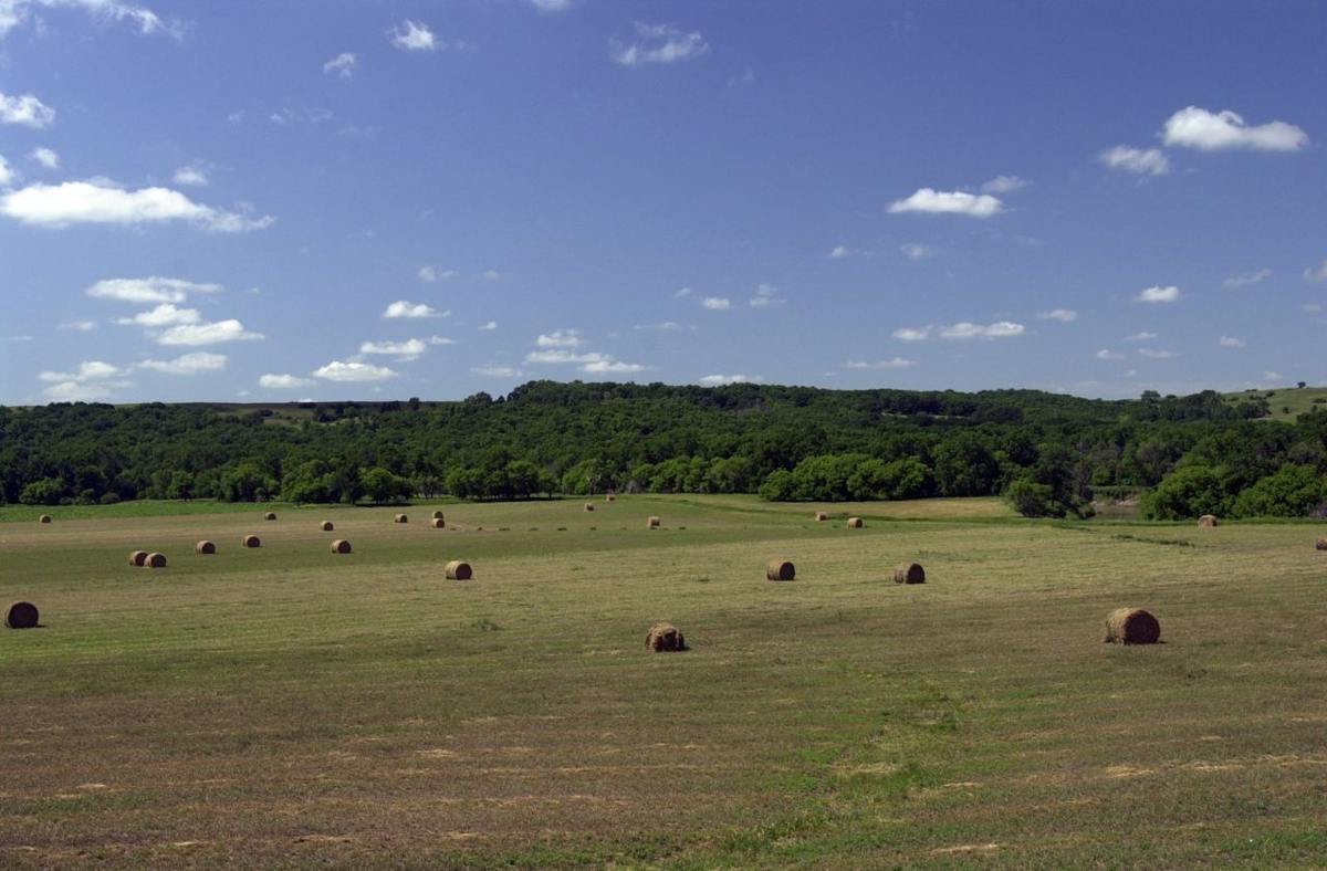
Rolled Hay in Field on County Road 13
Public Domain. Photo by Mat Leffler-Schulman of FHWA
Source & attribution ↗
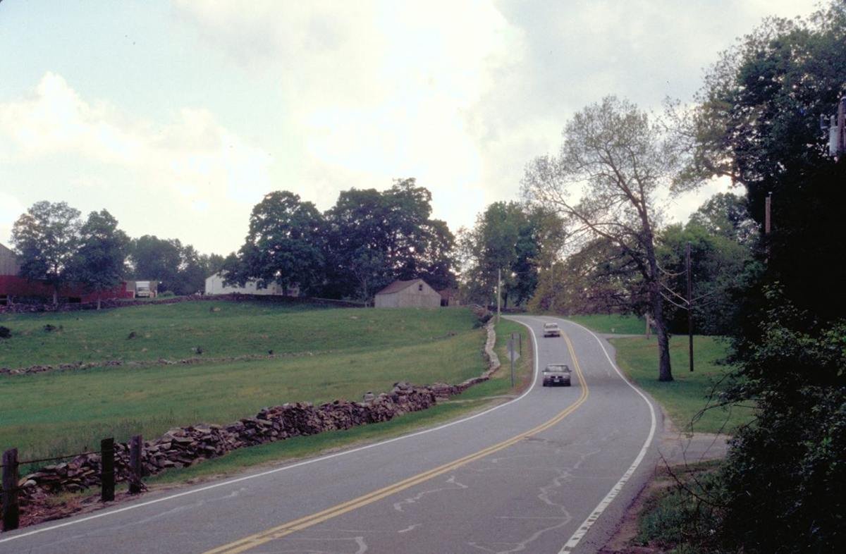
SR-169 at Dusk
Public Domain. Photo by Dennis Adams
Source & attribution ↗
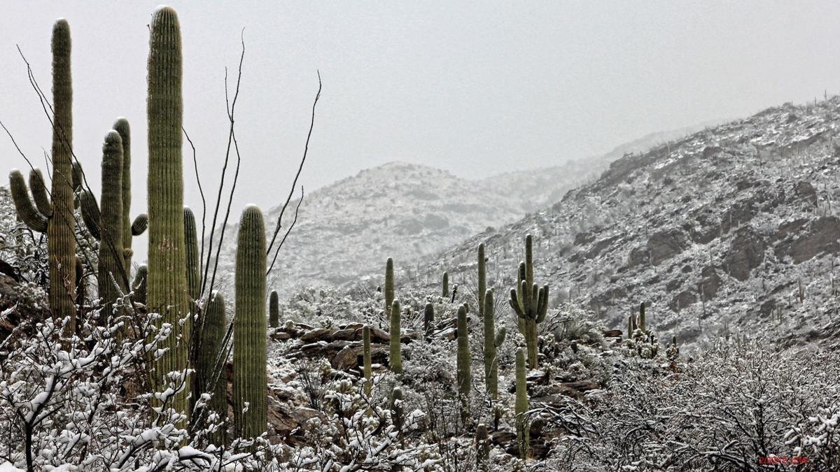
Saguaro cacti in the Sonoran Desert.
NPS Photo
Source & attribution ↗
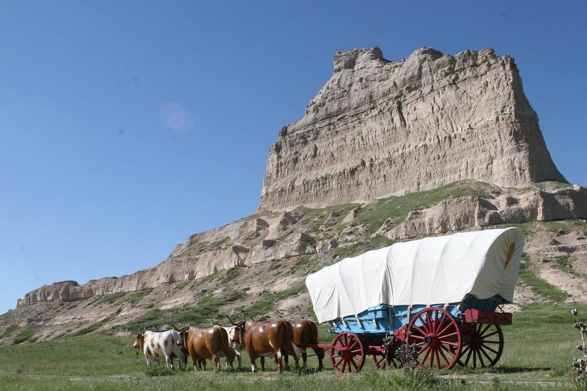
Thousands of covered wagons rolled by Eagle Rock in the mid nineteenth century.
NPS Photo / Wesley Gant
Source & attribution ↗
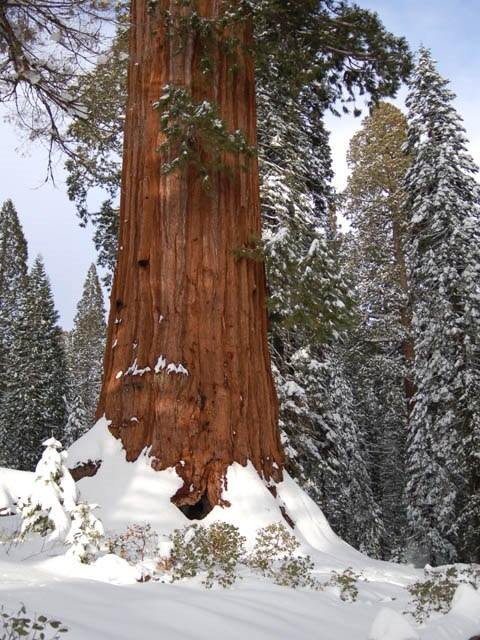
Giant sequoias in winter.
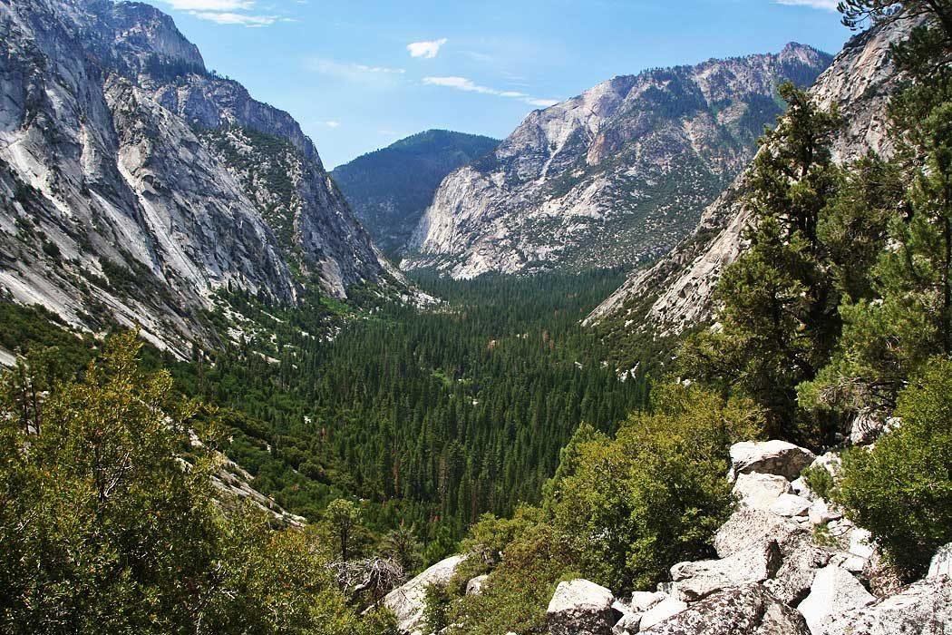
The Glaciers carved the Kings Canyon's steep granite cliffs, leaving a wide U-shaped valley.
NPS/Rick Cain
Source & attribution ↗
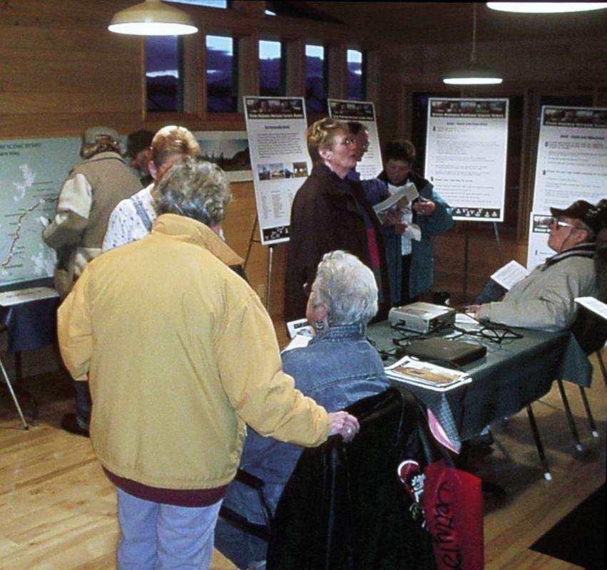
Sheep Mountain Public Meeting
Public Domain. Courtesy of Land Design North
Source & attribution ↗
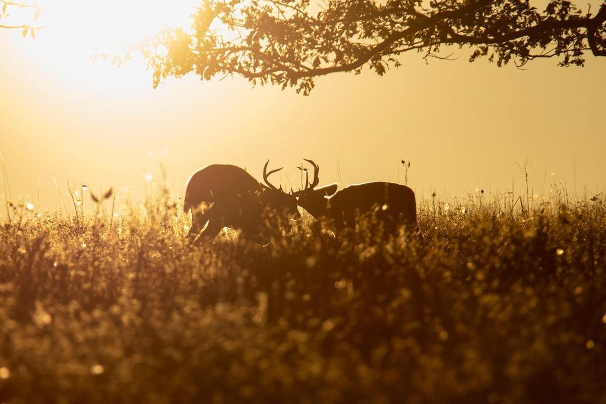
Watch for all types of wildlife crossing Skyline Drive.
NPS Photo / Neal Lewis
Source & attribution ↗
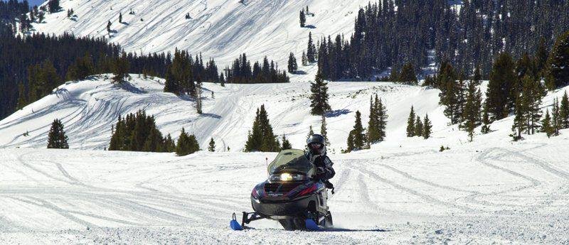
Snowmobiling Grand Lake in Colorado
Public Domain.
Source & attribution ↗
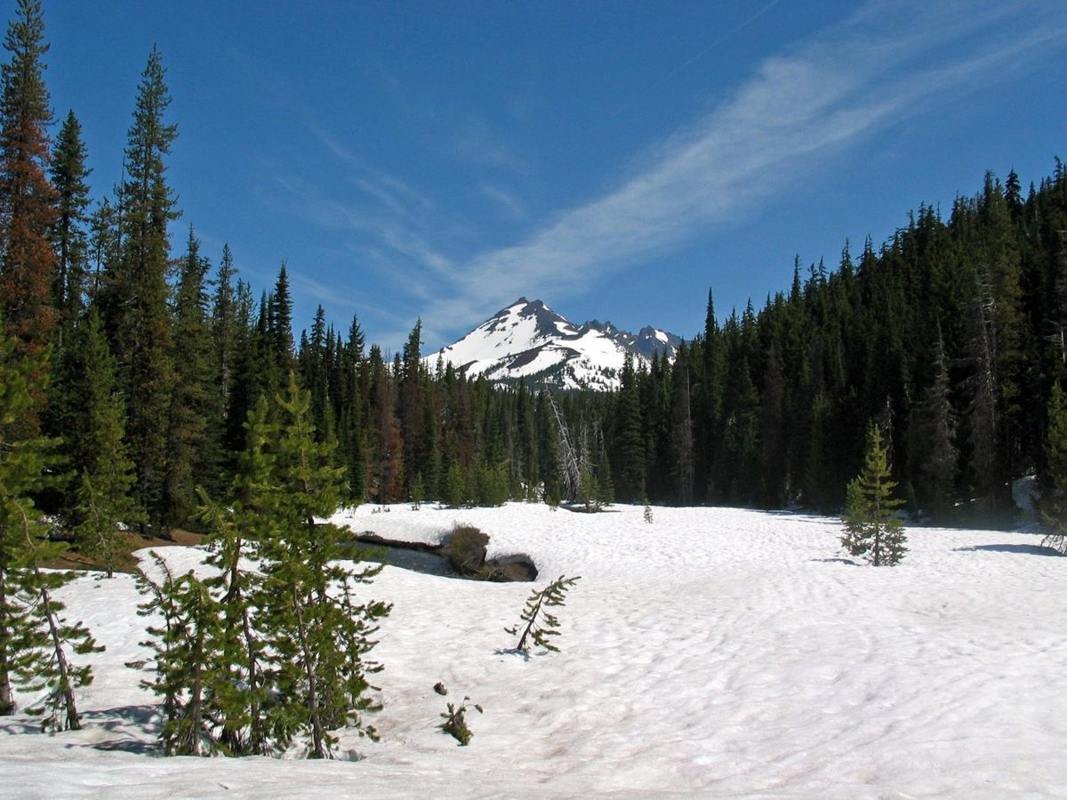
Snowy Fields to Broken Top Mountain
Public Domain. Photo by Clarence Nies
Source & attribution ↗
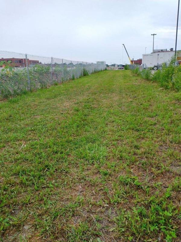
View of Springfield 1908 Race Riot National Monument Today
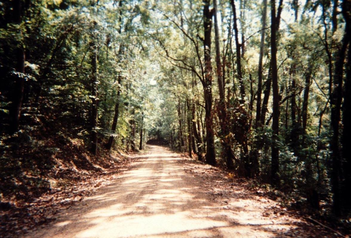
St. Francis National Forest
Public Domain. Courtesy of Arkansas Delta Byways and Joe Bonnette
Source & attribution ↗
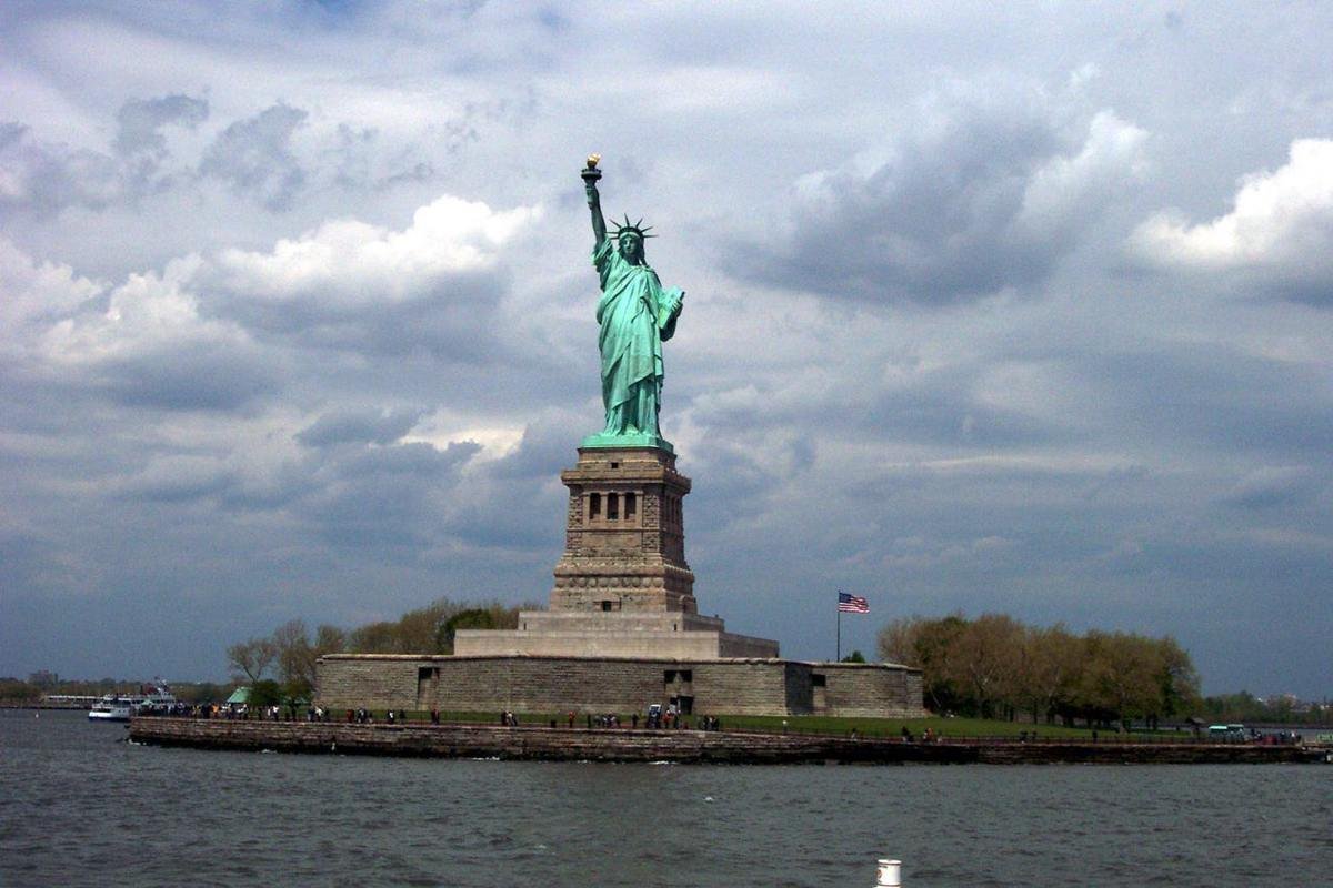
The Statue of Liberty's patina green stands out brilliantly on a cloudy day.
NPS Photo
Source & attribution ↗
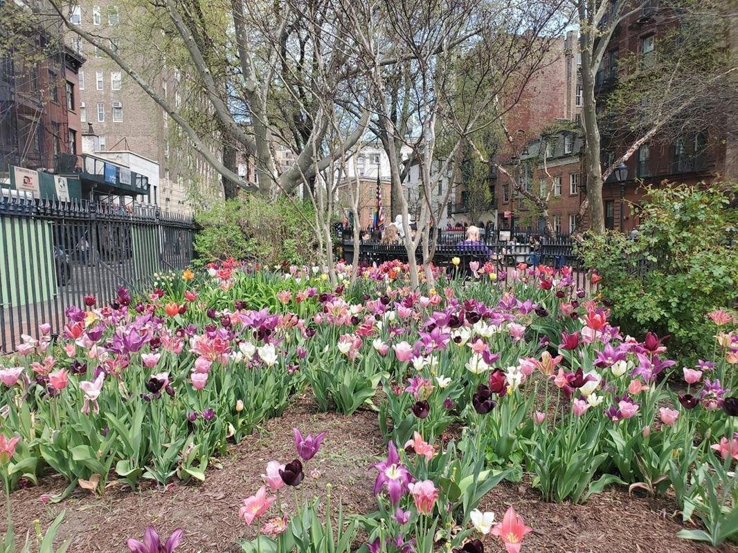
Christopher Park is central at Stonewall National Monument, and has beautiful gardens.
NPS Photo
Source & attribution ↗
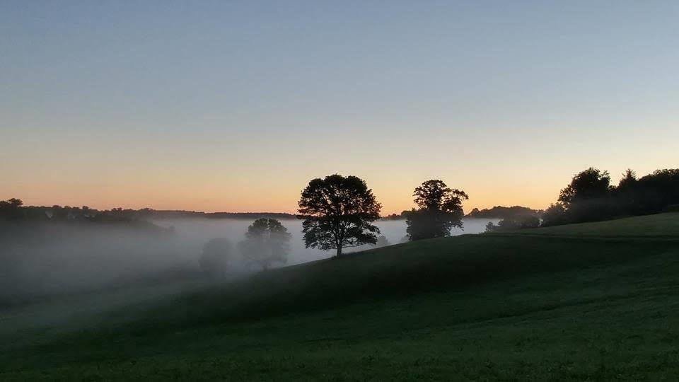
Stroud Mist Landscape
Public Domain. Ellen Peters
Source & attribution ↗
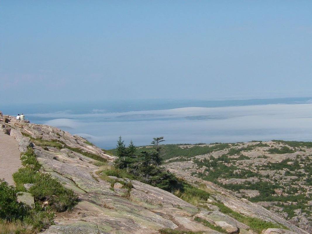
Summer Fog Below Cadillac Mountain
Public Domain.
Source & attribution ↗
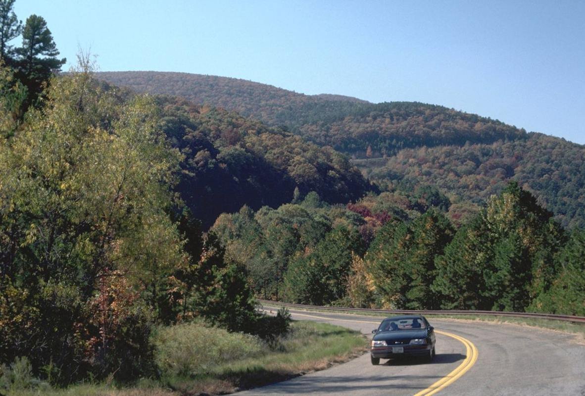
Talimena Scenic Byway
Public Domain.
Source & attribution ↗
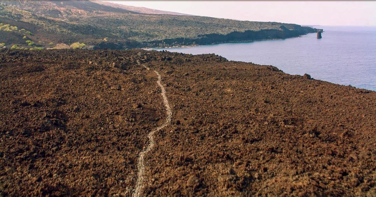
The Ala Kahakai National Historic Trail traverses 175 miles around the island of Hawaiʻi.
NPS Photo · Public domain, NPS
Source & attribution ↗
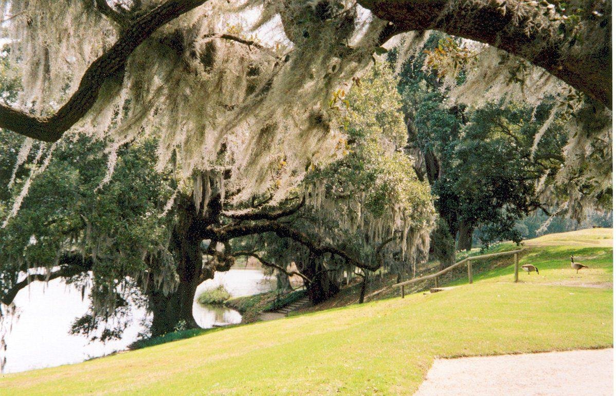
The Banks of the Ashley River at Middleton Place
Public Domain. Photo by Kellie Thorne
Source & attribution ↗
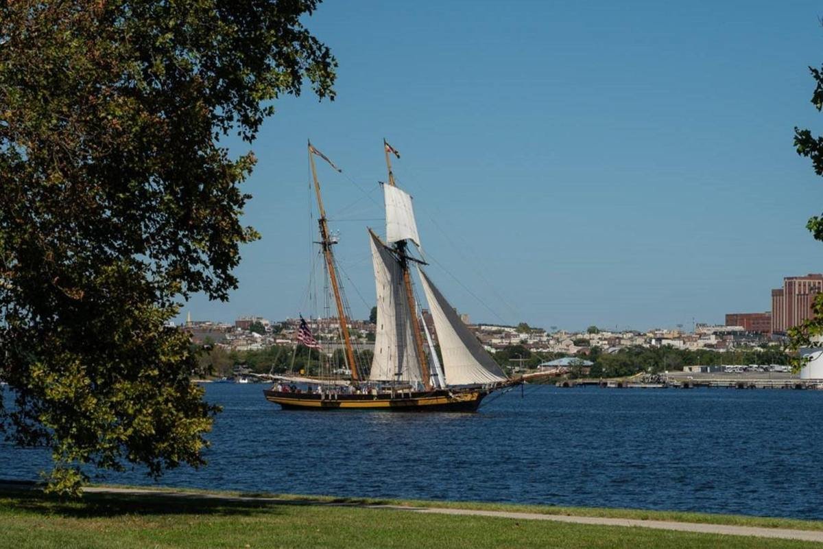
The PRIDE OF BALTIMORE II is a sailing ambassador for the Trail.
NPS/ Tim Ervin · Public domain, NPS
Source & attribution ↗
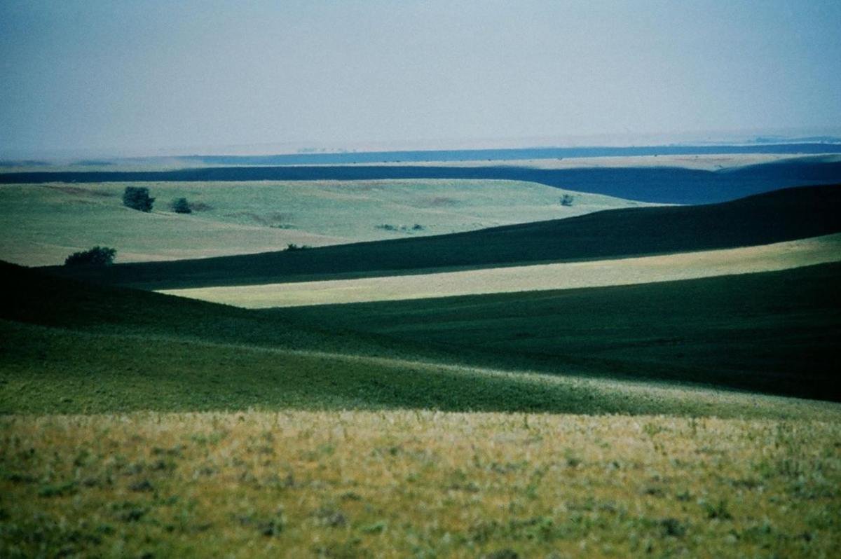
The Vast Tallgrass Prairie in the Flint Hills
Public Domain. Photo by Mike Blair, Kansas Department of Wildlife and Parks
Source & attribution ↗
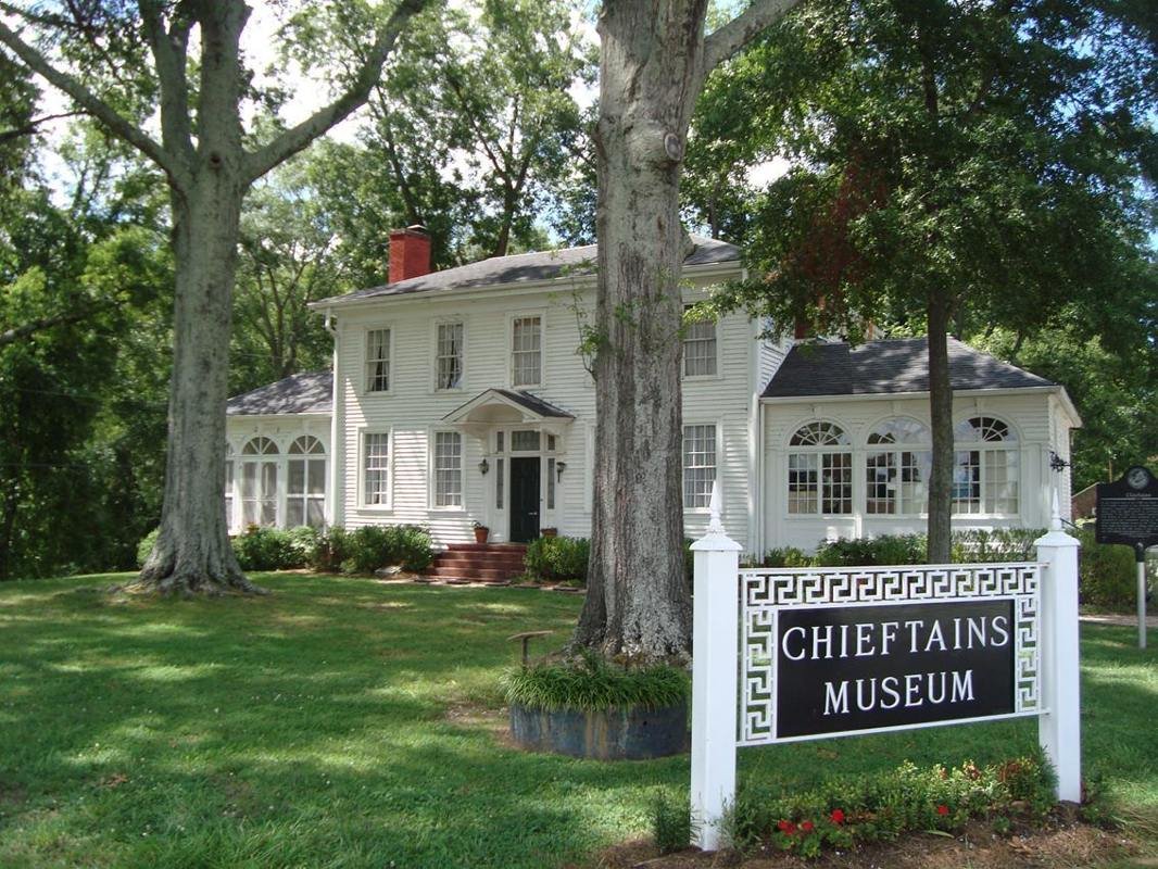
The museum tells the story of Major Ridge, the influential Ridge family including prominent son John Ridge, Cherokee history, and the Trail of Tears, as well as subsequent history of the home and region.
NPS · Public domain, NPS
Source & attribution ↗
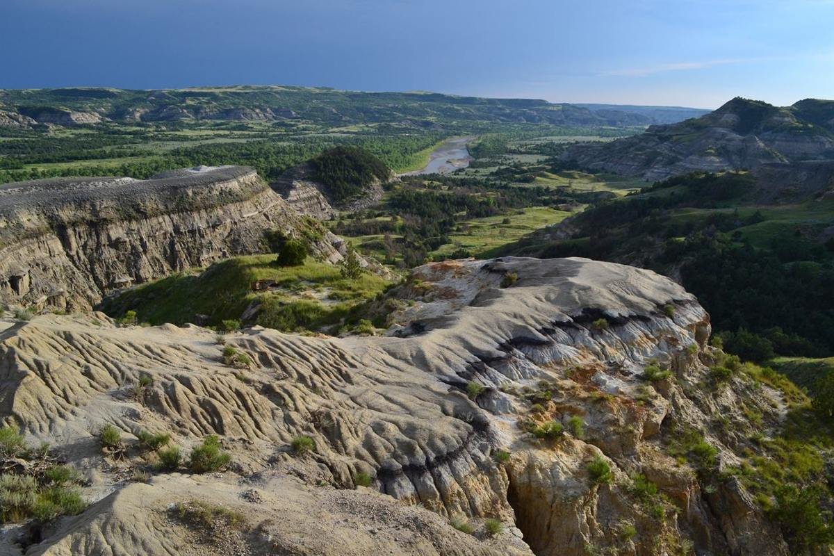
The River Bend Overlook offers one of the most popular views in the park's North Unit.
NPS Photo / Mark Meyers
Source & attribution ↗
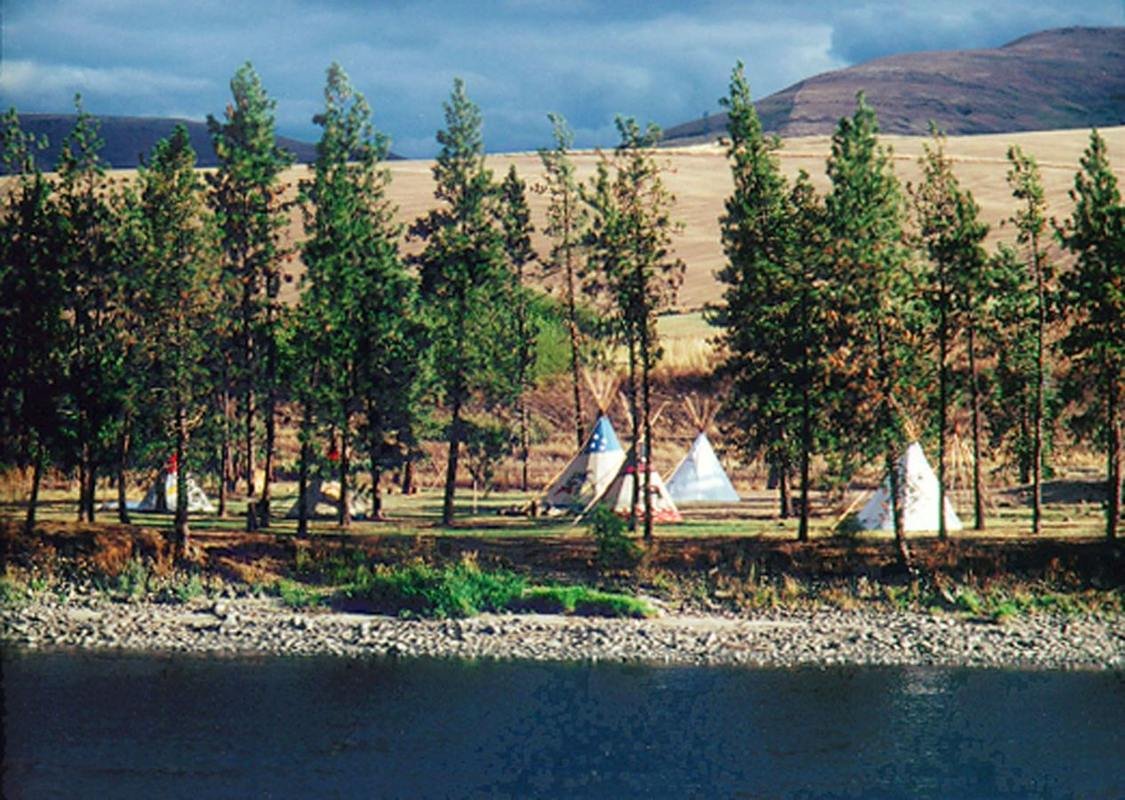
Tipis near Nez Perce National Historical Park in Spalding
Public Domain. Courtesy of Idaho Department of Commerce and Labor
Source & attribution ↗
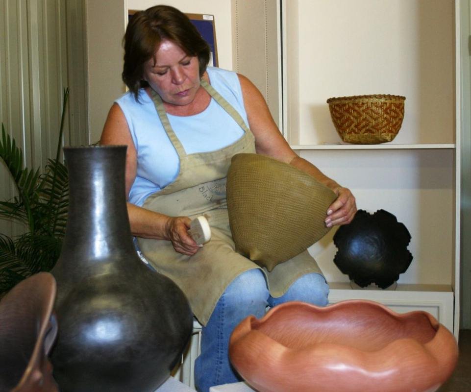
Traditional Cherokee Artist
Public Domain.
Source & attribution ↗
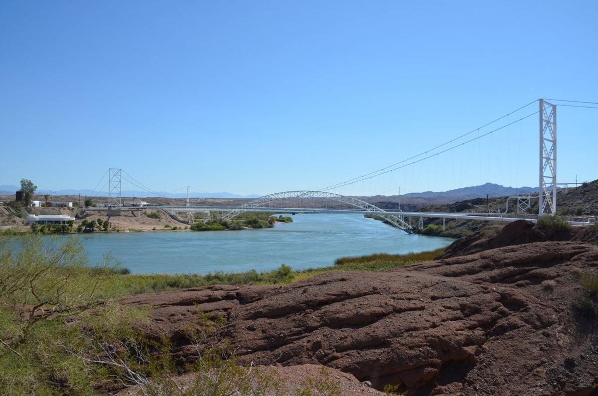
Trails Arch Bridge
Public Domain.
Source & attribution ↗
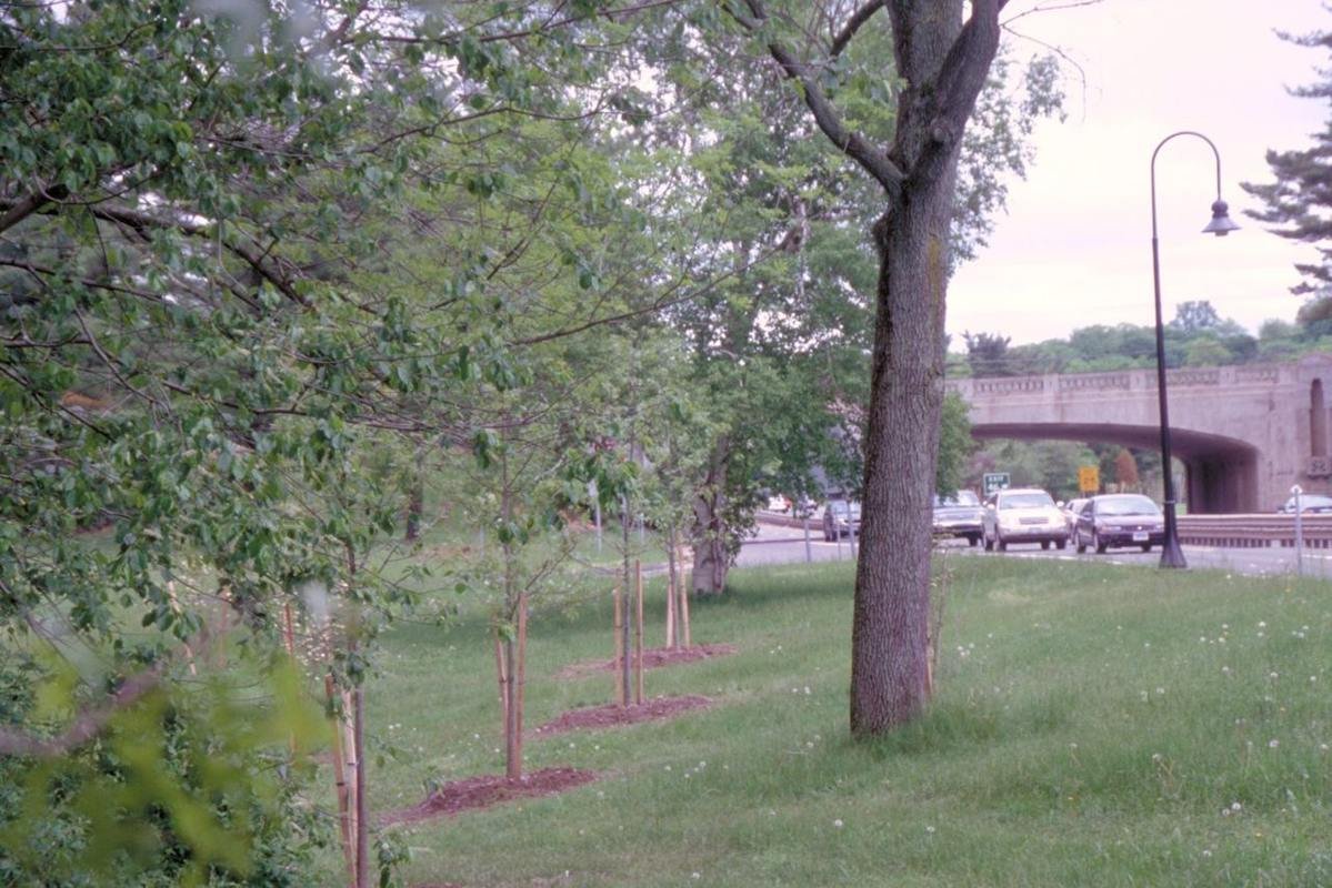
Tree Plantings Alongside Merritt Parkway
Public Domain. Photo by Dennis Adams
Source & attribution ↗
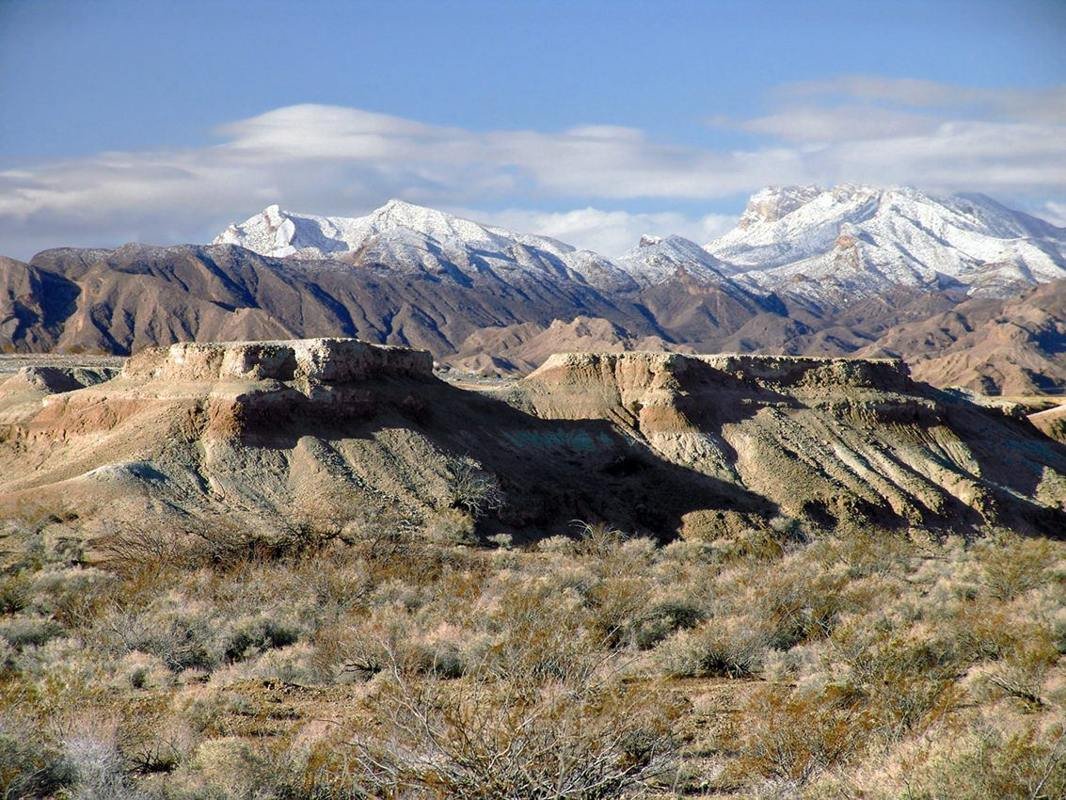
Tule Springs during winter
NPS Photo
Source & attribution ↗
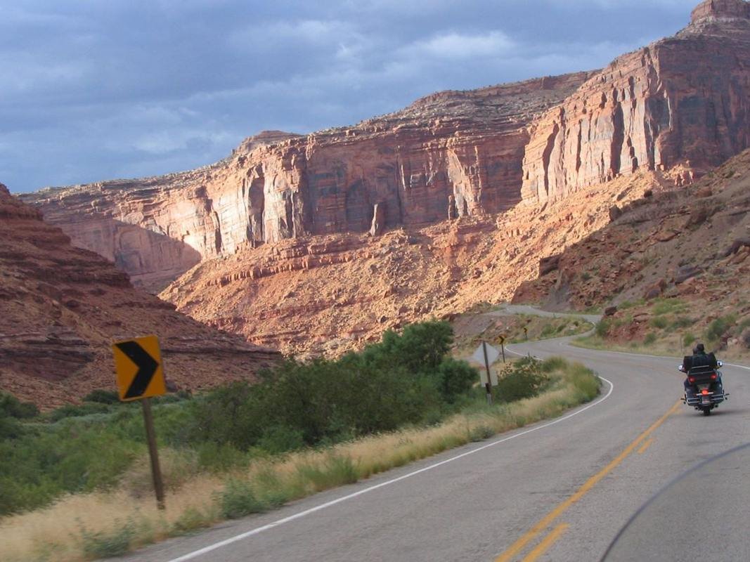
Upper Colorado Scenic Byway Canyon View
Public Domain. Photo by P. Hicks
Source & attribution ↗
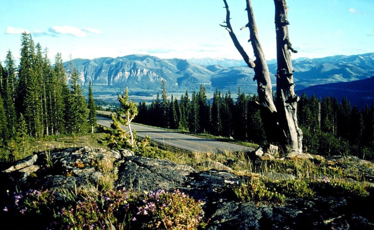
View from Clarks Fork Overlook
Public Domain. USDA Forest Service
Source & attribution ↗
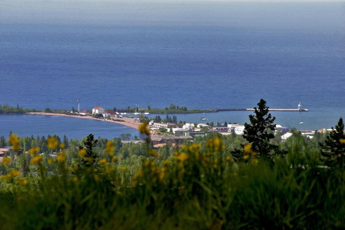
View of Grand Marais from Sawtooth Mountain Ridgeline
Public Domain. Photo by Dennis O'Hara, courtesy of Grand Marais Area Tourism Association
Source & attribution ↗
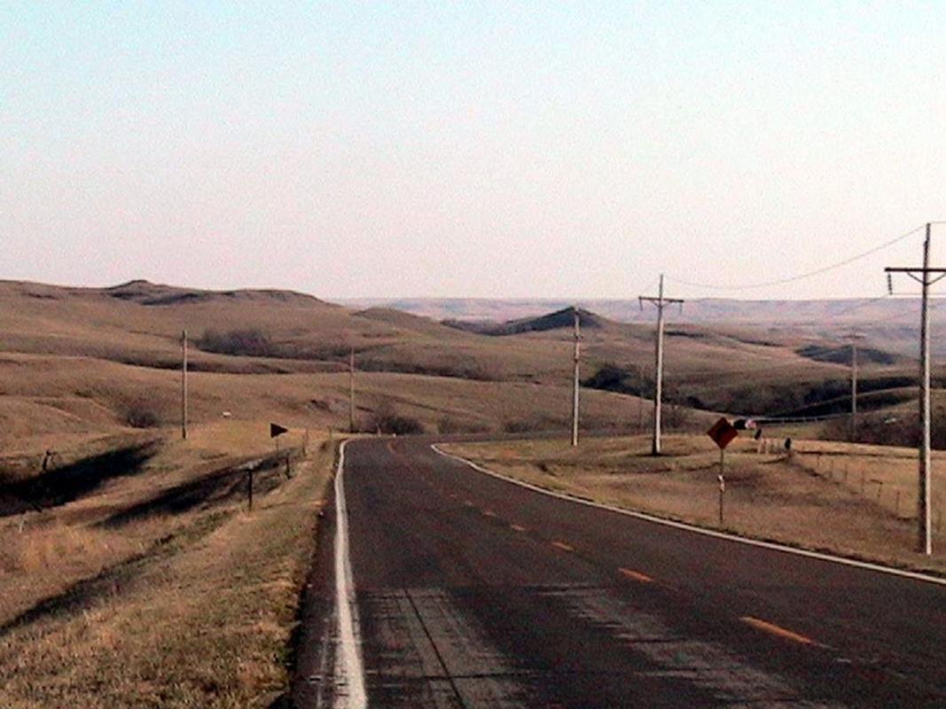
View of Native American Scenic Byway on the Cheyenne River Sioux Reservation
Public Domain. Photo provided by the Alliance of Tribal Tourism Advocates
Source & attribution ↗
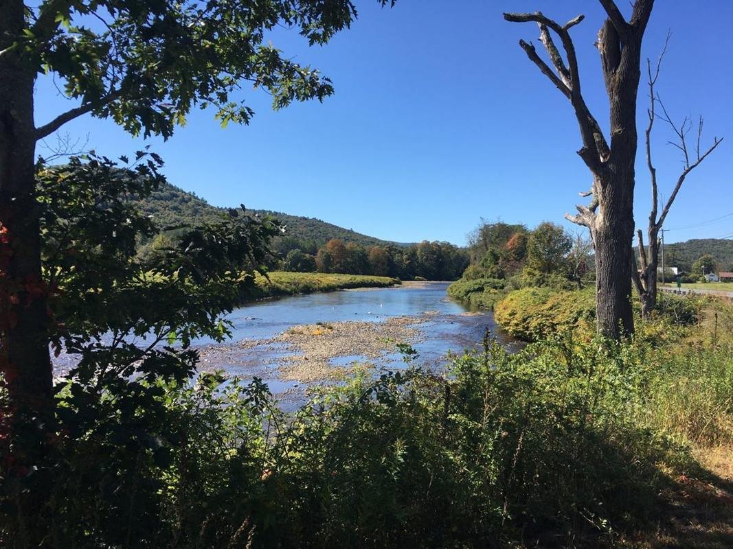
View of the Deerfield River from the Byway in east Charlemont
Public Domain. Franklin Regional Council of Governments
Source & attribution ↗
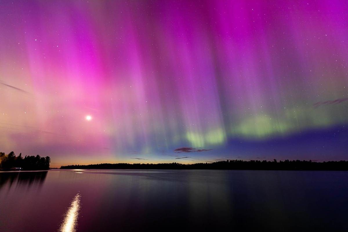
Northern lights over Kabetogama Lake.
NPS Photo / Daniel Dendler
Source & attribution ↗
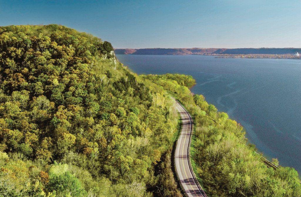
WI Great River Road Bluff to Road To River
Public Domain. Jay Olson-Goude
Source & attribution ↗
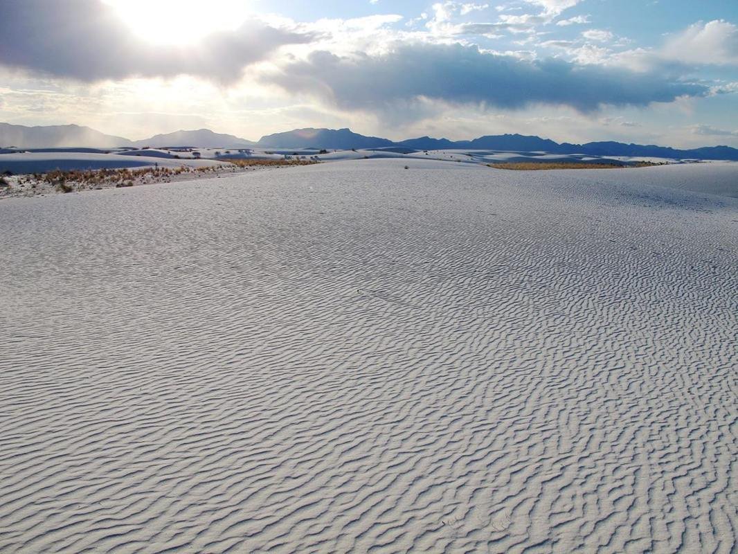
Sunsets are one of the most popular times to visit White Sands. Visitors can experience sunset every day of the year.
NPS Photo
Source & attribution ↗
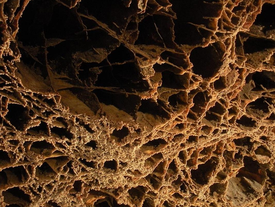
The boxwork on the ceiling of the Elk's Room is a popular photography subject and has been featured on many postcards and other souvenirs.
NPS Photo
Source & attribution ↗
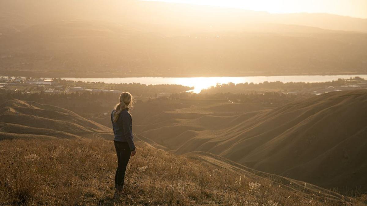
Woman looking at Wenatchee Valley from the Wenatchee Foothills
Public Domain. Cascade Loop Foundation
Source & attribution ↗
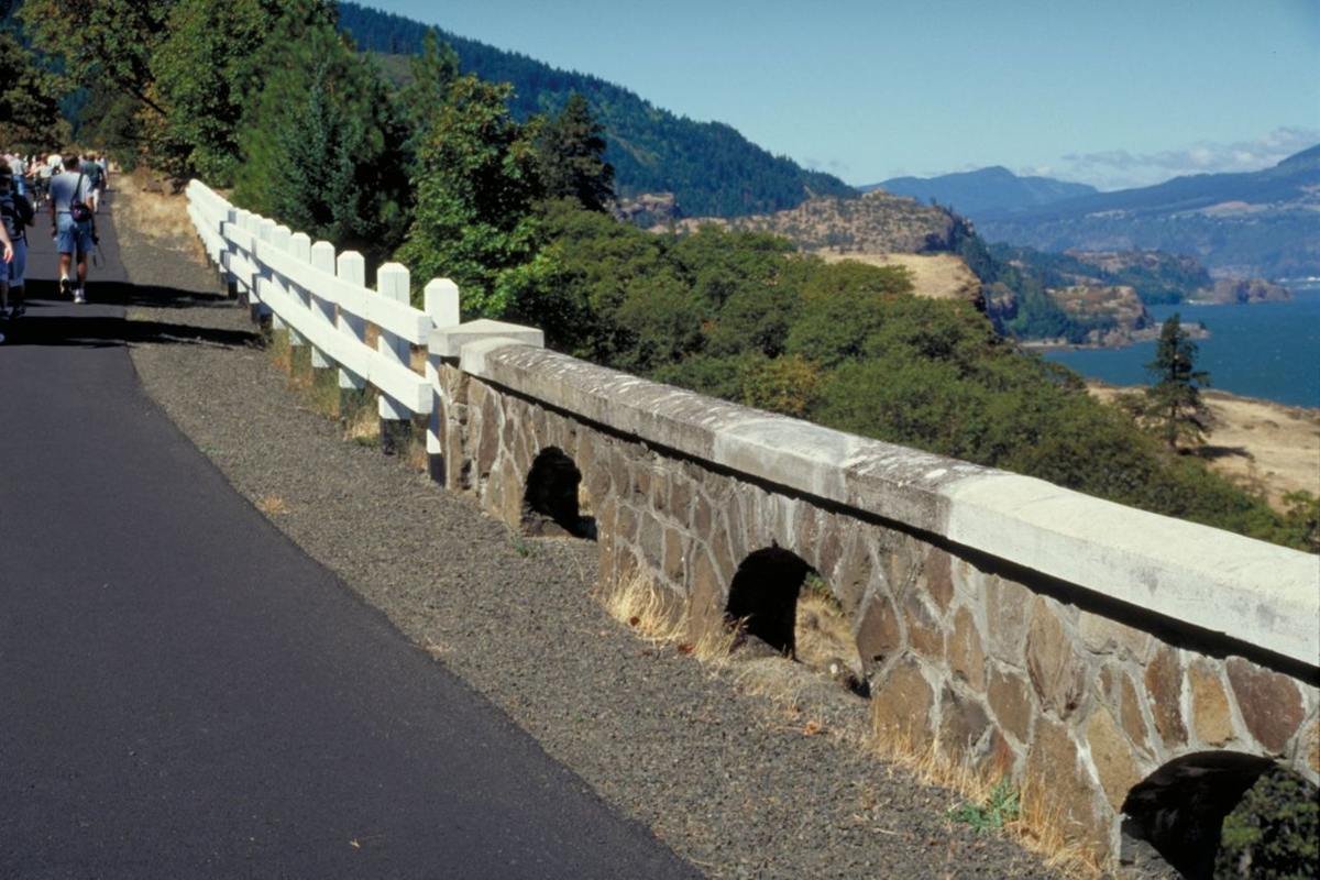
Wood and Stone Railings on the Highway
Public Domain. Photo by Dennis Adams
Source & attribution ↗
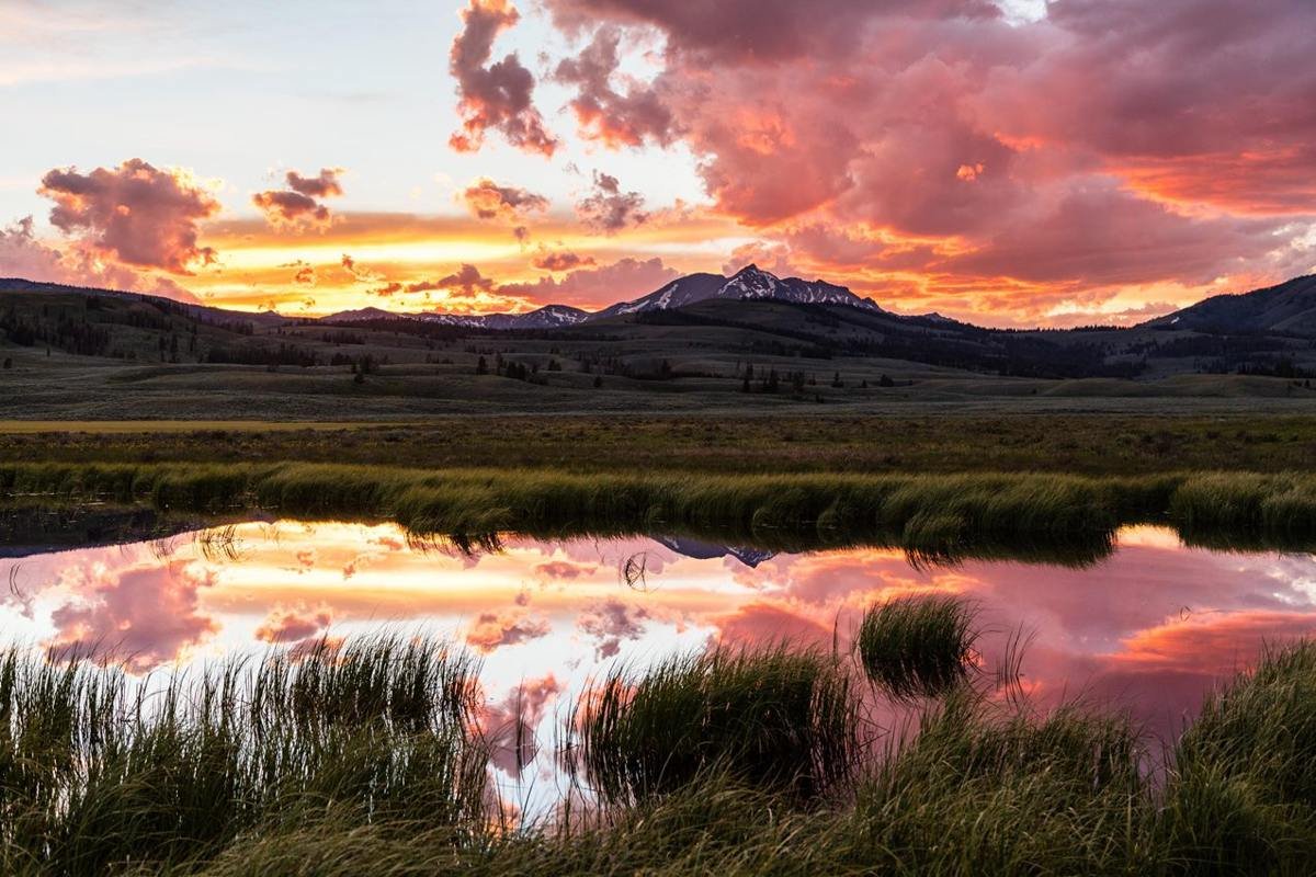
The sun sets behind Electric Peak.
NPS / Jacob W. Frank
Source & attribution ↗
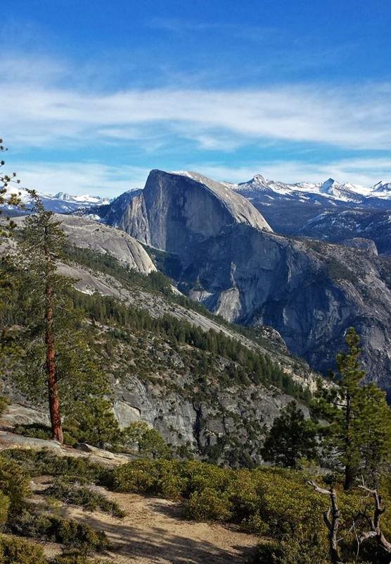
Half Dome is one of the most recognizable granitic formations in the world.
NPS / Cindy Jacoby
Source & attribution ↗
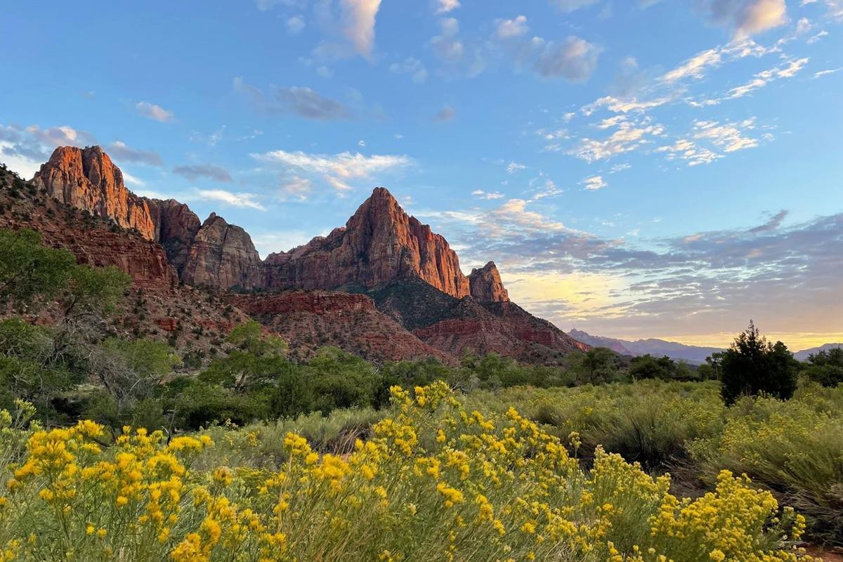
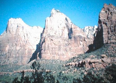
The Watchman greets visitors to Zion Canyon as it towers over the visitor center and South Entrance.
NPS Photo / Shane Carte
Source & attribution ↗
American Tour Association photographs & maps
Additional images were supplied with the ATA website content. They remain credited to the American Tour Association and may show earlier conditions.