Migration, roadside dreams and the people who kept the road alive.
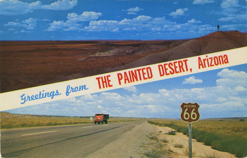
The familiar shield opens a much larger story. Follow the road from its numbered beginnings to its centennial—and look closely at what the photographs do, and do not, tell us.
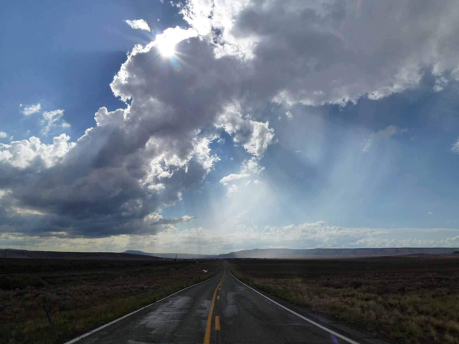
Historical postcard of the Painted Desert and Route 66; date unknown · date unknown. Unknown author · Public domain. Display crop where shown.Old Route 66 looking west toward Seligman, Arizona · 2012. Chris English · CC BY-SA 3.0. Display crop where shown.
Chapter 1
Before the shield: a road assembled from older roads
Route 66 did not spring into existence as 2,400 miles of entirely new construction. When the numbered highway system arrived in 1926, it connected and redesignated many existing roads. Those roads in turn crossed places with much longer Indigenous, agricultural, railway and settlement histories. This matters when visiting today: a town’s story does not begin with its Route 66 sign. Look beyond the motoring theme and ask what was here before the highway, who lived here and how the new traffic changed their lives.
The route linked Chicago with Southern California through eight states. Its diagonal course connected communities and markets as well as distant endpoints. Early journeys were not the smooth, fully paved cruises suggested by later imagery; improvement came in stages. The National Park Service’s historical study describes the highway as continuously paved by 1938. Road building created work and changed the reliability of travel, while cafés, repair shops and overnight accommodation grew around the flow of motorists. A small surviving concrete segment can therefore be as revealing as a famous neon sign.
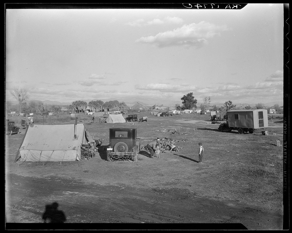
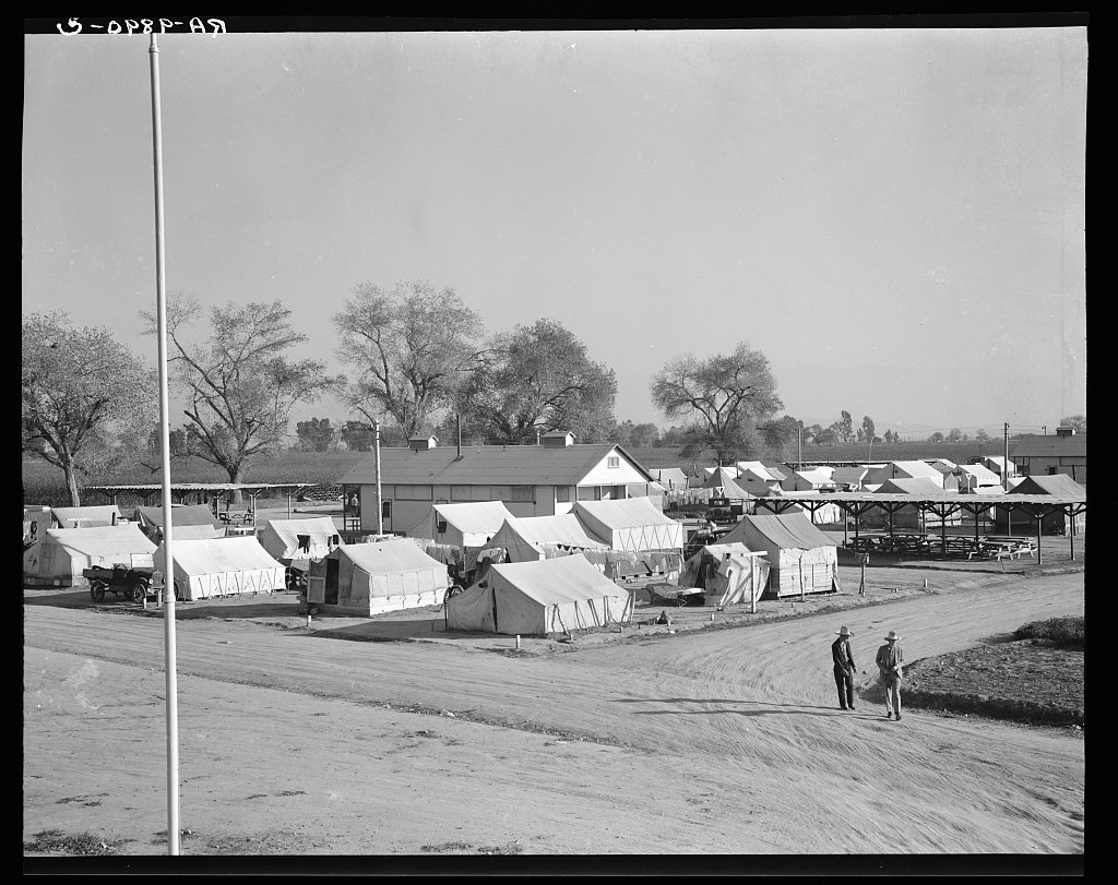
For families moving west during the Depression, the road could represent work and survival rather than a holiday. Drought, failing farms and economic displacement helped drive migration, but there was no single migrant experience and no guaranteed welcome at the destination. Dorothea Lange’s California photographs document the difficult conditions some families encountered. The archival photographs in this guide show Bakersfield and Kern-area camps away from Route 66 itself; they provide regional context for what happened after the westward journey, not proof that every photographed family drove the route.
The familiar story of unrestricted American mobility leaves out segregation and discrimination. Black motorists needed reliable knowledge of where they could obtain a room, a meal or service. Victor and Alma Green’s travel guide helped readers make those choices and supported Black businesses. Reading this history changes how a traveler looks at a motel district: the question is not only what a room cost, but who was allowed to rent it. The National Park Service’s Green Book research provides a route into these stories without reducing them to a nostalgic roadside theme.
Postwar travel: the building became the advertisement
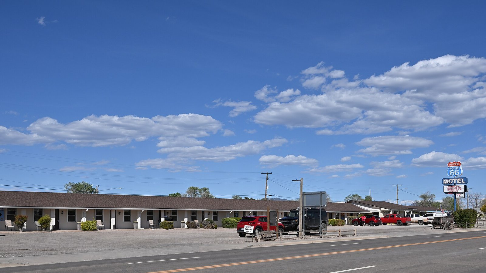
After World War II, family motoring helped make Route 66 a leisure landscape. Independent businesses sought attention through architecture, signs and memorable names. A cottage-like filling station suggested familiarity; a tall tower could be seen from the road; an unusual motel shape promised an experience. Read these buildings as commercial design as well as nostalgia. The smaller scale of a motor court—individual doors, parking close to the room and sometimes a private garage—also reveals how travelers expected to live with their cars.
Bobby Troup’s 1946 song helped carry the road’s name far beyond the people who had driven it, while the later television series added another layer of popular imagination. James Dean belongs to the broader image of 1950s youth and car culture; a publicity portrait is not evidence of a Route 66 journey. We include it as cultural context, rather than turning an unrelated Hollywood photograph into a fictitious roadside scene. The distinction lets us enjoy the romance without confusing it with documentary history.
James Dean publicity portrait; cultural context, not a photograph of a Route 66 journey · c. 1953. movie studio · Public domain. Display crop where shown.
Chapter 7
Bypasses, retirement and preservation
The interstate system gradually took traffic away from the old main streets. Route 66’s final bypass came in 1984, followed by removal of its US highway designation in 1985. That administrative ending did not make every street disappear: many sections remained local roads, while others were abandoned or absorbed into newer highways. Preservation groups, business owners and public agencies helped save buildings and revive travel interest. Today’s trip depends on that work, which is one reason buying a meal or a room locally can be as meaningful as photographing a restored sign.
The 2026 centennial is another chapter in an evolving story. Chicago’s Navy Pier designation adds a contemporary ceremonial starting point, while Santa Monica’s pier sign remains a symbolic bookend distinct from the historical street terminus. The living route includes restored buildings, modern businesses and communities with ordinary daily needs. Visit with curiosity: distinguish original structures from reconstructions, respect private property and give a place time beyond its most famous photograph.
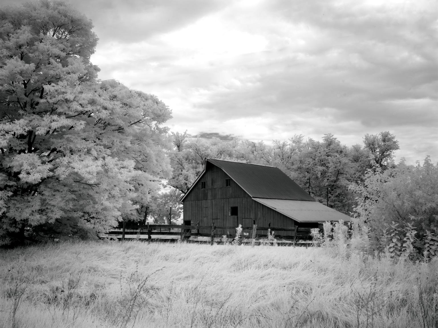
A black-and-white image is not necessarily old, and a historic-looking motel may have been photographed recently. Every caption carries a date or states when the date is unknown. The photographs below document the road in different decades; they are not a matched before-and-after pair.