AMERICAN TOUR ASSOCIATIONTourist attractions on and off the beaten path
The Mother Road · An AAGTO travelogue

Route 66 in California

The Pacific, city boulevards and the Mojave.

Start beside the ocean and watch the journey change character: a pier and city streets give way to the inland valleys, then the great spaces of the Mojave. California is not a single uninterrupted ribbon of old highway. It asks you to choose between historical alignments, urban surface roads and necessary modern connections. The reward is a remarkable contrast between the busiest and quietest parts of the trip.

Driving east

Eastbound sequence: Santa Monica → Los Angeles area → Pasadena/San Bernardino corridor → Victorville → Barstow → Newberry Springs → Amboy, where access permits → Needles. Different historical alignments through the Los Angeles basin should be selected before driving; trying to improvise every junction in traffic is tiring. The 18-day travelogue divides California into two driving days, with Barstow as the first overnight and Needles as the second.

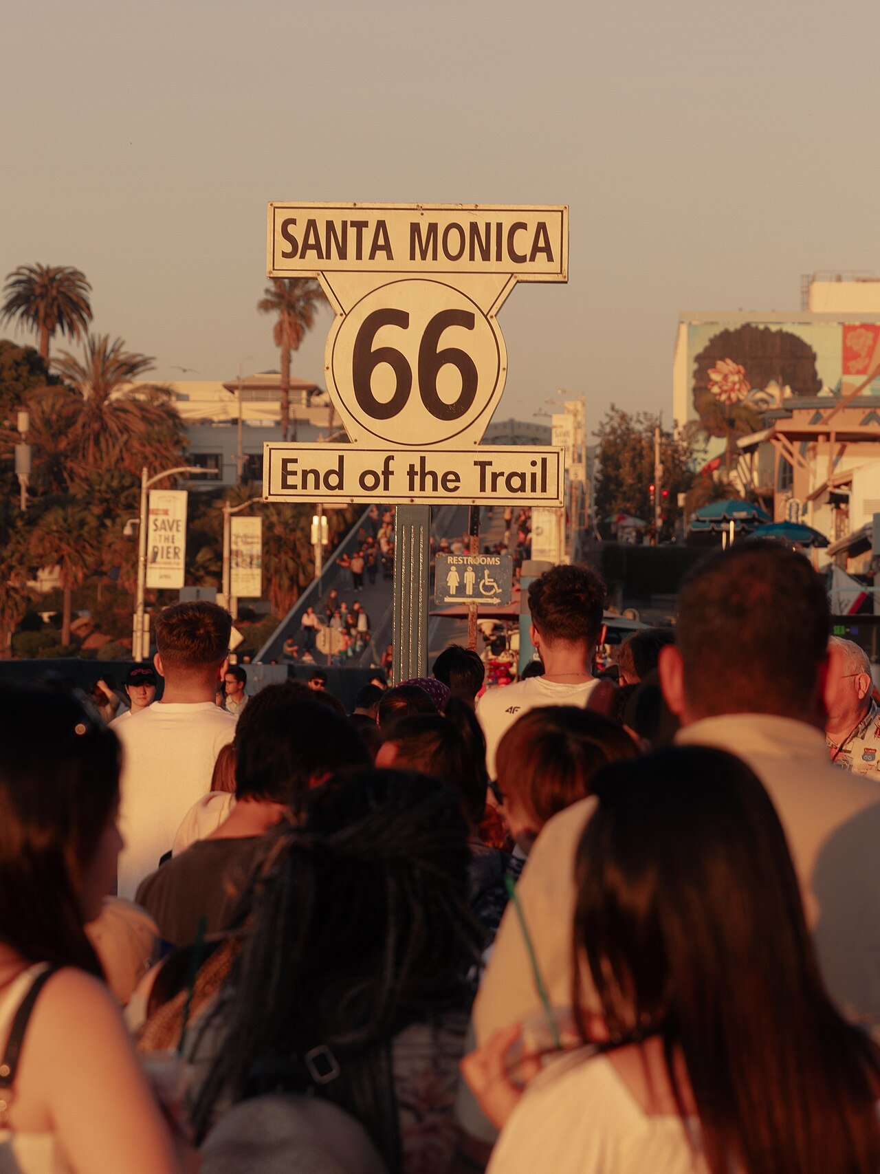
Route 66 End of the Trail sign at Santa Monica Pier
Route 66 End of the Trail sign at Santa Monica Pier · 2026. Luis Ochea · CC BY-SA 4.0. Display crop where shown.

Places to linger

01 · California

Santa Monica: the celebratory start

The pier gives an eastbound trip an unmistakable opening: Pacific air, the beach and the familiar End of the Trail sign. That sign is a symbolic finish for westbound travelers and an equally enjoyable starting photograph for your journey. The historical highway terminus is inland at Lincoln and Olympic boulevards. Seeing both helps separate the story of the numbered highway from the traditions that grew around it.

Getting here

Park in a permitted beach or city parking facility and approach the pier on foot. Visit the historical intersection separately; do not stop a car in traffic for a picture.
02 · California

Barstow: pause before the desert

Barstow is a practical transition between metropolitan California and the desert road. Its railway setting reminds you that Route 66 did not arrive in an empty landscape: the road joined established transport and commercial networks. Spend the night here if you want to leave the next morning rested rather than adding a long desert crossing after Los Angeles traffic.

Getting here

From Victorville, choose an open historic-road segment or a modern highway connection. The map marks the town, not a particular hotel or museum entrance.

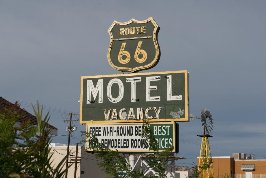
Route 66 Motel sign, Barstow, California
Route 66 Motel sign, Barstow, California · 2012. Carol M. Highsmith / Library of Congress · Highsmith Archive: rights dedicated to the public. Display crop where shown.
03 · California

Amboy and Roy’s sign

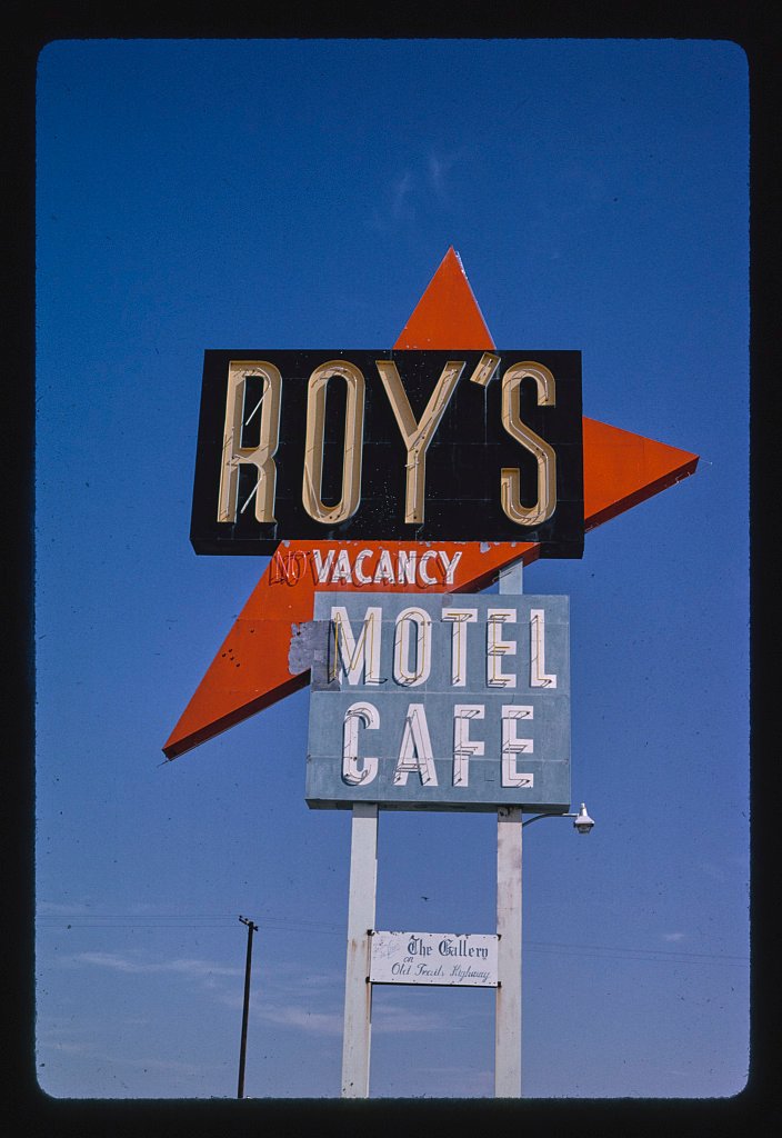
Roy’s is one of the route’s most recognizable roadside silhouettes. Its projecting sign and low buildings make the relationship between architecture, advertising and fast-moving motorists easy to understand. Treat this as an architecture and landscape stop; the word motel on a historic sign is not confirmation of overnight availability. Amboy Crater is a separate outing, best considered with sufficient time and suitable conditions.

Getting here

Approach only on a currently open road after checking the BLM closure notice. Confirm available fuel and services before relying on them.

Roy's Motel sign, Route 66, Amboy, California
Roy's Motel sign, Route 66, Amboy, California · 1991. Carol M. Highsmith / Library of Congress · Highsmith Archive: rights dedicated to the public. Display crop where shown.

Where to break the journey

Barstow first, then Needles, makes the west-to-east opening manageable. Add a Los Angeles-area night before the driving itinerary and another if you want museums or extensive city sightseeing. Book desert accommodation before leaving town and separate a photo stop at a historic motel from a confirmed room reservation.

See the day-by-day overnight plan → · Accommodation and meal ideas →

Along the way

Useful sources & local information