AMERICAN TOUR ASSOCIATIONTourist attractions on and off the beaten path
The Mother Road · An AAGTO travelogue

Route 66 in Kansas

A short stretch worth taking slowly.

Kansas occupies only a small part of the Route 66 journey, but its compact sequence of towns makes a satisfying day of details. It is particularly easy to miss when a navigation app prioritizes speed. Follow the official byway mapping and let the small scale work in your favor: town streets, an old store and an arched bridge can each be enjoyed without a long transfer between them.

Driving east

Eastbound sequence: Oklahoma border → Baxter Springs → Rainbow Bridge area → Riverton → Galena → Missouri. The official Kansas tourism guide describes roughly 13 miles of byway. Treat that as the designated route length rather than a total for all your visits, parking approaches and side trips.

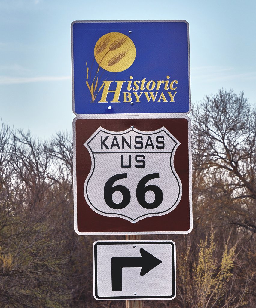
Route 66 sign in Baxter Springs, Kansas
Route 66 sign in Baxter Springs, Kansas · 2021. Carol M. Highsmith / Library of Congress · Highsmith Archive: rights dedicated to the public. Display crop where shown.

Places to linger

01 · Kansas

Baxter Springs: a town-scale arrival

After Oklahoma’s longer corridor, Baxter Springs introduces a more compact stretch of the trip. Park and look at the older commercial buildings instead of seeing the town only through the windscreen. A short town walk helps make Kansas a distinct memory rather than a state crossed without noticing.

Getting here

Enter from the Oklahoma side along the signed byway. The map is town orientation; choose legal parking for the businesses or visitor facilities you intend to visit.
02 · Kansas

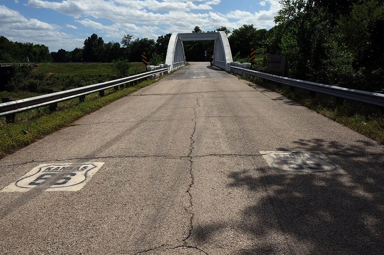
Rainbow Bridge

The concrete arch gives this bridge a visual character very different from the road’s large river crossings. Its interest lies in engineering and scale: this was an everyday piece of transport infrastructure that has become a recognizable heritage stop. Photograph it from permitted public areas and consider how a small bridge shaped the road’s path.

Getting here

Follow the official byway directions between Baxter Springs and Riverton. Use current signs for permitted access and parking; the map pin is the landmark, not a promise that traffic may cross it.

Rainbow Bridge, Kansas
Rainbow Bridge, Kansas · 2017. Gorup de Besanez · CC BY-SA 4.0. Display crop where shown.
03 · Kansas

Riverton and Galena

Riverton’s old store and Galena’s roadside motoring associations are good reasons to resist the shortest navigation option. A small purchase or meal can be a more engaging experience than another photograph from the car. In Galena, the road also intersects the area’s mining history, adding context beyond its later association with animated-film nostalgia.

Getting here

Continue east on the signed route through Riverton toward Galena. The map marks the store stop; check opening hours and use the official byway map for the onward town sequence.

Where to break the journey

The main itinerary combines Kansas with a Carthage, Missouri overnight. Stay locally instead if you want time for museums, conversation or a particularly leisurely drive. A small state mileage does not oblige you to hurry through it.

See the day-by-day overnight plan → · Accommodation and meal ideas →

Useful sources & local information