
Southern Quintana Roo · inland excursion
Dzibanché–Kinichná
Maya architecture in the forest rewards a dedicated archaeological day.
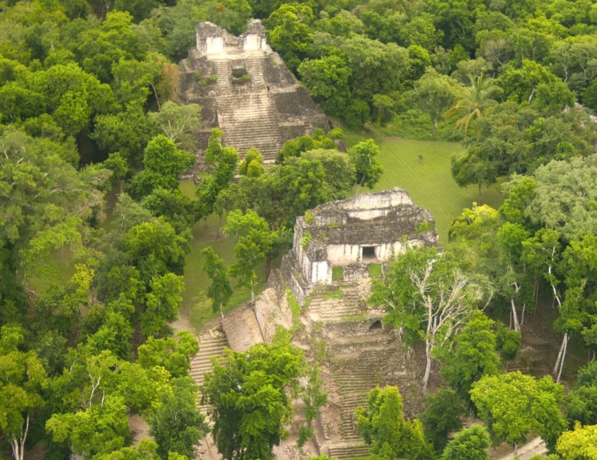 Enlarge photo ↗
Photo: Lugares INAH · CC BY-SA 4.0. Resized; card crop.

Build it into your day
Ask which parts are currently accessible and allow for the journey between sites. Start with water and a realistic walking plan; do not assume a quick stop can cover every group of structures.
Practical planning
Chetumal is the closest city and airport base. Buses stop along the highway; the railway station requires a transfer. Some lagoon hotels lie far north or south of the center, so check the actual address and restaurant access.
The map groups sights by destination area; it does not mark this attraction’s entrance. Confirm the exact location, current access and opening arrangements before traveling. If you need step-free access, ask the venue about the specific route and facilities.
Guide research & photo credits
Original ATA visitor notes and suggested itineraries, informed by Mexican Caribbean tourism and the individual venues. Official references are provided for opening arrangements; photographs are credited alongside each image.