
El Terrero, Minatitlán municipality · Colima
El Filete viewpoint and El Terrero
Make a mountain outing with local guidance on the approach, trail and weather. The viewpoint is a separate excursion from Minatitlán town, not a quick urban lookout. Arrange access and a suitable vehicle before departure, and turn the day into a slow landscape visit rather than a checklist.
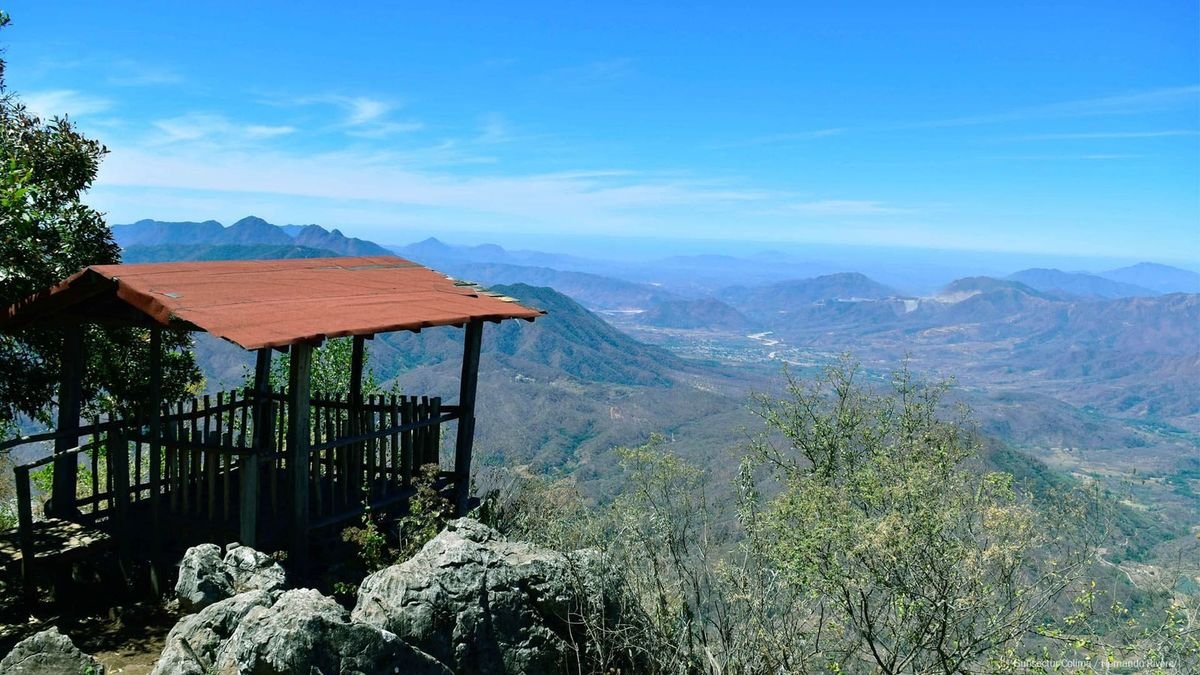 Enlarge photo ↗
Photo: Colima Tourism. Resized; card crop.
Build it into your day
Choose one main countryside outing for the day, with Minatitlán town as a meal and orientation stop. El Salto and the El Terrero viewpoint should be planned around current access rather than combined automatically. Add the capital or Comala on another day with a settled overnight base.
Practical planning
Mountain roads and seasonal weather can make short map distances slow. Arrange a knowledgeable local driver, confirm the route and return time, and avoid assuming there will be taxis at a waterfall or viewpoint. The lodging page lists regional bases; none is presented as a hotel in Minatitlán town.
The map marks the general location for planning. Confirm the visitor entrance, current access and opening arrangements before traveling. If you need step-free access, ask the venue about the specific route and facilities.
Guide research & photo credits
Original ATA visitor notes and suggested itineraries, informed by Colima tourism and the individual venues. Official references are provided for opening arrangements; photographs are credited alongside each image.