
North of Bahía de los Ángeles · Baja California
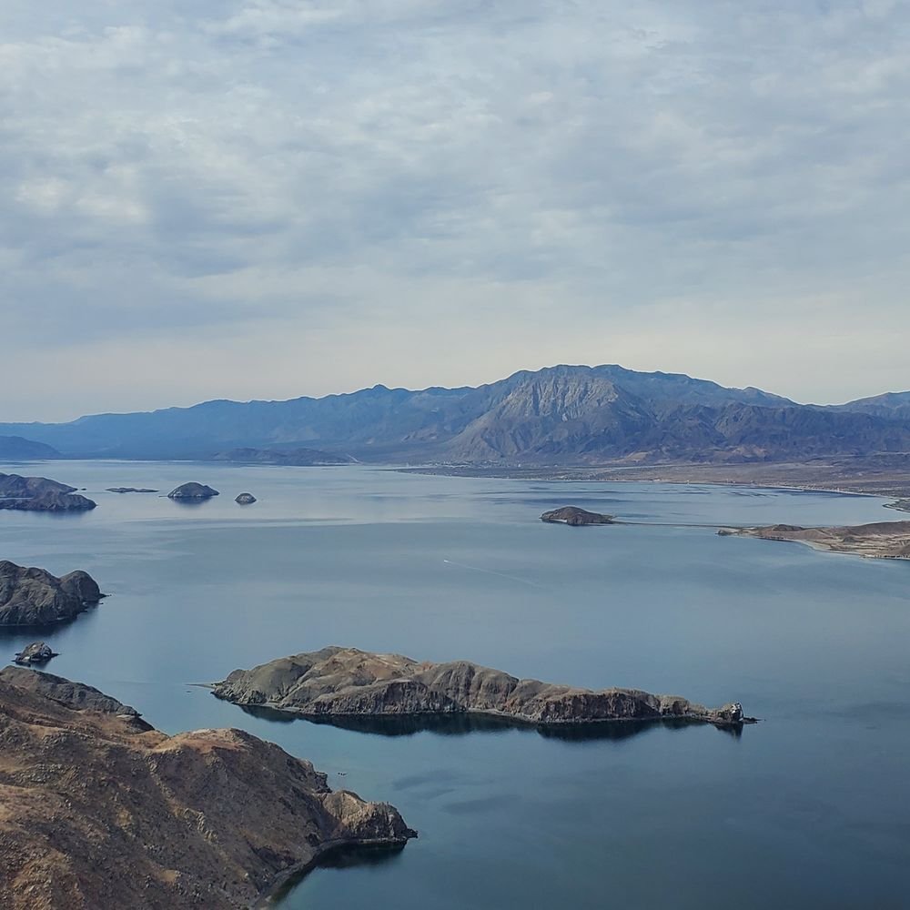
La Gringa shoreline
The northern end of the bay offers open coastal scenery reached by a separate drive from town. Ask about road access, tide and any local fees before leaving. Carry water and supplies, and pack out everything you bring.
 Enlarge photo ↗
Photo: It's my real name · CC BY 4.0. Resized; card crop.

Build it into your day
Allow two nights for the bay area. Use a morning for a guided wetland or volcanic-landscape outing, then a seafood lunch and shore walk. Sierra de San Pedro Mártir needs a dedicated mountain plan; Cataviña and Bahía de los Ángeles should be separate overnight stages.
Practical planning
Use exact addresses for coastal hotels and bay access, since highway distance is only part of the drive. Check unpaved final approaches and arrange a guide for wetland routes. Book fuel stops and accommodation ahead when continuing south; mobile coverage should not be assumed.
The map marks the general location for planning. Confirm the visitor entrance, current access and opening arrangements before traveling. If you need step-free access, ask the venue about the specific route and facilities.
Guide research & photo credits
Original ATA visitor notes and suggested itineraries, informed by Baja California tourism and the individual venues. Official references are provided for opening arrangements; photographs are credited alongside each image.