
Angahuan area · major regional excursion
Paricutín volcanic landscape
The volcanic landscape is a demanding outdoor undertaking, not an easy city-side walk. The old church ruins and a summit trek involve different routes and effort.
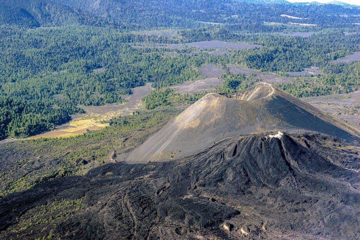 Enlarge photo ↗
Photo: Visit Michoacán / Secretaría de Turismo. Resized; card crop.
Build it into your day
Only consider a visit after checking current official advice, local access and weather. Use an established local guide, agree the exact route and fitness demands, and do not assume a horse ride removes all walking.
Practical planning
Arrange the airport or bus-terminal transfer in advance. The national park, waterfall and regional communities have different access points; verify the exact destination and return plan with your provider.
The map groups sights by destination area; it does not mark this attraction’s entrance. Confirm the exact location, current access and opening arrangements before traveling. If you need step-free access, ask the venue about the specific route and facilities.
Guide research & photo credits
Original ATA visitor notes and suggested itineraries, informed by Michoacán tourism and the individual venues. Official references are provided for opening arrangements; photographs are credited alongside each image.