
Teapa area
Río Puyacatengo
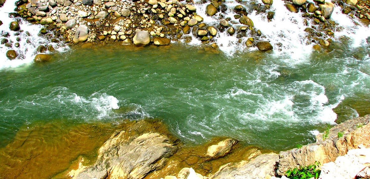
A river landscape for a planned countryside stop, with access depending on the chosen recreation site.
 Enlarge photo ↗
Photo: Tabasco Tourism. Destination photograph; resized and cropped for the card.
Build it into your day
Choose an established access point and check local water conditions that day. Heavy rain upstream can change a river quickly; do not assume a calm photograph means swimming or paddling is suitable.
Practical planning
Travel by road through the Sierra, allowing extra time for curves, rain and local stops. Arrange transport back from rural attractions before departure. Mountain paths, river crossings and cave access can change with weather; obtain current advice locally.
The map groups sights by destination area; it does not mark this attraction’s entrance. Confirm the exact location, current access and opening arrangements before traveling. If you need step-free access, ask the venue about the specific route and facilities.
Guide research & photo credits
Original ATA visitor notes and suggested itineraries, informed by Tabasco tourism and the individual venues. Official references are provided for opening arrangements; photographs are credited alongside each image.