
Arteaga
Waterways & town walk
The town’s water channels and older built features reward a walk beyond the main church. Watch footing beside water and road crossings.
 Enlarge photo ↗
Photo: urbanomafia · CC BY-SA 3.0. Resized; card crop.

Build it into your day
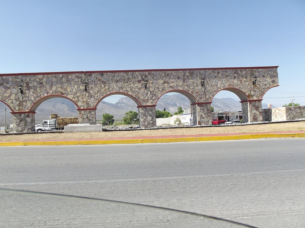
Follow public paths and let a local guide explain how water shaped the settlement. The photograph shows the Arteaga aqueduct.
Practical planning
Arrange a vehicle or transfer for the mountains. Ask the lodge about the final road, weather and arrival time. Winter conditions, rain and fire restrictions can affect access even when the town is easy to reach.
The map groups sights by destination area; it does not mark this attraction’s entrance. Confirm the exact location, current access and opening arrangements before traveling. If you need step-free access, ask the venue about the specific route and facilities.
Guide research & photo credits
Original ATA visitor notes and suggested itineraries, informed by Coahuila tourism and the individual venues. Official references are provided for opening arrangements; photographs are credited alongside each image.