
Las Coloradas region · coastal stop
Cancunito beach area
A less urban stretch of coast offers an open-sea contrast to the sheltered estuary.
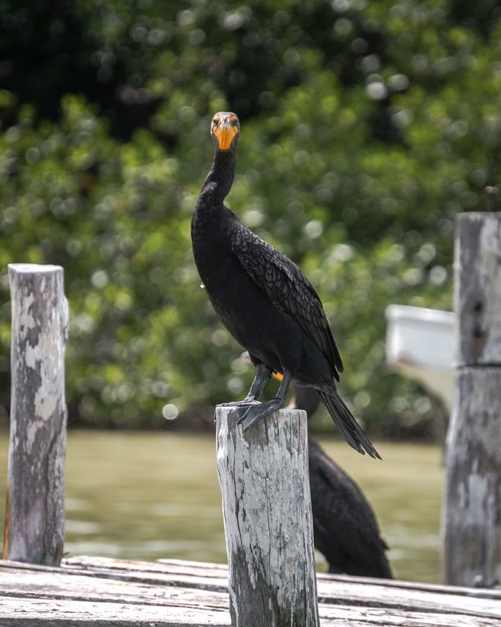 Enlarge photo ↗
Photo: Yucatán Tourism. Resized; card crop.
Build it into your day
Confirm legal access and current conditions locally. Carry water and take waste away; protect dunes and do not plan on lifeguards, shade or visitor facilities being available.
Practical planning
The main road approach is through Tizimín. Use established paved routes between destinations; an apparent track along the salt flats is not a dependable shortcut. Weather can change boat operations, so keep the itinerary flexible.
The map groups sights by destination area; it does not mark this attraction’s entrance. Confirm the exact location, current access and opening arrangements before traveling. If you need step-free access, ask the venue about the specific route and facilities.
Guide research & photo credits
Original ATA visitor notes and suggested itineraries, informed by Yucatán tourism and the individual venues. Official references are provided for opening arrangements; photographs are credited alongside each image.