
Sierra de la Giganta · inland from Loreto · Baja California Sur
San Javier mission
A stone mission in a mountain village provides a very different setting from coastal Loreto. The drive and the village deserve unhurried time.
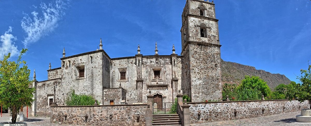 Enlarge photo ↗
Photo: Kirt Edblom from Corvallis, Oregon, United States · CC BY-SA 2.0. Resized; card crop.

Build it into your day
Check the mountain road and weather before departure and carry water. Ask about church access and local food service rather than assuming all facilities operate daily. Respect orchard paths, homes and private land.
Practical planning
Loreto airport is the natural arrival point for this part of the state. Town walking, a mountain drive and boat excursions require different arrangements. Do not schedule an island trip immediately before a flight, and check the road before traveling inland after rain.
The map marks the general location for planning. Confirm the visitor entrance, current access and opening arrangements before traveling. If you need step-free access, ask the venue about the specific route and facilities.
Guide research & photo credits
Original ATA visitor notes and suggested itineraries, informed by Baja California Sur tourism and the individual venues. Official references are provided for opening arrangements; photographs are credited alongside each image.