
Tonalá coastal wetland
El Madresal
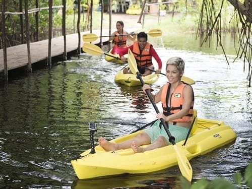
This community ecotourism destination connects mangrove scenery with the Pacific coast. The experience depends on locally operated access and conditions.
 Enlarge photo ↗
Photo: Chiapas Tourism. Destination photograph; resized and cropped for the card.
Build it into your day
Contact the community operator before traveling to confirm boats, food and any overnight options. Take insect protection, keep litter out of the wetland and avoid disturbing birds.
Practical planning
Road transport links Tonalá with the wider state. Town, beaches and wetland access points are separated by drives and sometimes boats. Confirm return journeys, lifejackets and weather before leaving; the Pacific can have dangerous currents even on clear days.
The map groups sights by destination area; it does not mark this attraction’s entrance. Confirm the exact location, current access and opening arrangements before traveling. If you need step-free access, ask the venue about the specific route and facilities.
Guide research & photo credits
Original ATA visitor notes and suggested itineraries, informed by Chiapas tourism and the individual venues. Official references are provided for opening arrangements; photographs are credited alongside each image.